Trails in Northern California

Trails in Northern California

Leave No Trace!

Visit desovw.org for more information about Desolation Wilderness. Visit Recreation.gov or call 1- 877-444-6777 to make park reservations. Visit Campfire Permits to get a permit online. More about Leave No Trace principles.
Showing posts with label GPS tracks. Show all posts

June 25, 2013

Lawrence Lake in Desolation Wilderness

Lawrence Lake is secluded, offers level campsites,

and is a perfect basecamp to explore surrounding

lakes and waterfalls.

Lawrence Lake, June 2013
Directions:  
Take Highway 50 E and turn north on Ice House Road.  Follow the signs to Wrights Lake and park at the Rockbound Trailhead. 
OR  (a better drive if you ask me):

Take the Wrights Lake Road north (between the 36 mile tract and the 39 mile tract) in the vicinity of Kyburz off Highway 50 and follow the signs.

Difficulty and Distance: I rate this as strenuous due to the length (no less than 13 miles round trip) and the rocky road and creek crossings.  Overall though, it is a fun, pleasant hike and is Easy to Moderate as a backpack trip.
Park at the Rockbound Trailhead parking.  There is a restroom near the trailhead signs.
Jeep trail
Begin your hike on the jeep road rather than the actual Rockbound Trail.  It has a green gate across it, and is labeled. The road/trail was not being used by jeeps at this time this was written and the condition varies from good dirt road as shown, to 4-wheeling eroded and rocky road.

Our first creek crossing.  
That is our cohort, Marcia.
At this time the creeks are all low but you can imagine that hiking here earlier in the season or in a heavier snowfall year,  might be more challenging.
Columbine blooming among corn lilies.
A variety of wildflowers are in bloom all along the way.

Wide open views
After winding through the woods, the trail opens out to large granite areas with gorgeous views.
Mariposa Lilies


Large meadow / "skeeters kitchen."
The trail takes you through a couple of these large mountain meadows that are alive with biting, buzzing, carnivorous, bugs and mosquitoes.

More creeks to cross.  (That is actually Chris!)


The creeks have rocks you can mostly use for dry crossings but hiking poles
sure help balance on themAll the rocks are not stable so check before you step!
Out of place restroom!
Near Barrett Lake this surprising bathroom sits to the side of the trail!

Barrett Lake
At Barrett there are open, large campsites with fire pits,
(no fires are allowed
 at this time).  The campsites offer little privacy.

Lawrence Lake
Keep hiking along the now single file trail that heads north to Lawrence Lake.

Super Moon June 2013

This was the super moon rising over the lake at 10:30 pm. 

Sunrise on Lawrence Lake
We camped along the north side of the lake but we discovered several good places to camp. 

The elevation graph shows you the highs and lows.  It really isn't a hard hike.  There are plenty of places to rest and if you have more energy it can be used exploring.  Along with the other lakes, there are waterfalls worth exploring.

This shows the route we hiked on this trip.  GPS is loaded here: Lawrence Lake .
Hike data.

Lawrence Lake makes a great basecamp to explore the surrounding lakes shown above.

For more hikes check Peachy's Trails by Location
with mileage and difficulty ratings, and
these Desolation Wilderness Trails:
Related Posts you might be interested in for nearby trails:

Desolation Wilderness
2015-07
10+ miles
Strenuous
2014-08
30 miles
Moderate to Strenuous/Difficult
2014-07
18 miles
Moderate-Difficult
2014-06
12+ miles
Moderate to Strenuous
2013-06
13+ miles
Moderate to Strenuous
2012-09
Umpa Lake & Enchanted Pools
8+ miles
Cross country ~ Moderate
2012-08
Horsetail Falls via Pyramid Creek TH
Aprox.  10 miles to lakes at the top of the falls
"Difficult, and potentially dangerous" miles
2012-07
10 miles
Moderate
2012-07
8 miles
Moderate-Strenuous
2012-06
Lyons Lake via Lyons Creek Trail
10+ miles
Strenuous
2012-08
9.2 miles
Moderate
2012-06
6+ miles
Strenuous
2011-07
Lyons Creek Trail with melting snow
9+ miles
Moderate
2011-02
3.8 miles
Moderate
2010-09 We hiked 12 days.
167 total
Moderate to Strenuous

See the Full Table of Contents.
Added updated links and Table of Contents 06-2016
 Link for permits and other related information
Marcia introduced us to these individual packs of olives.  I am addicted!  Give them a try for the best backpacking snack food! 
HAPPY TRAILS!

And thanks to Chris F. for planning this trip!  She is searching
out the Hidden and Lost Lakes this year!  I was fortunate to join this unbelievable group of women backpacking! 
P.S. One more thing is that three of us carried bear canisters for our food and all complained about how heavy they are.  Lawrence Lake has plenty of trees to bear bag your food and personal items.  For more information about a good bear bagging system, check out Stick's Blog .

December 12, 2012

Donner's Castle Pass via PCT Snowshoeing

 
Difficulty: Strenuous.  Difficult to follow trail.  Undermelt hazards.  Numerous creek crossings of varying difficulty.  Could be more fun as an overnighter.  Fires are allowed during winter.
Length:  Ours was a 9.3 mile loop.
Directions and details:  Take I-80 to the Boreal exit west of Donner and east of Kingvale.  South of the exit make a left.  Stop at the hotel for a parking permit.  Your regular state park pass does not apply. The hotel has some vending machines with snacks. It is snowplowed in the event of snowy weather and has a nice restroom with vault toilets.  The kids can build snowmen and tabogan there.  Great places for snowball fights, too!  During the regular hiking season, there is an interpretive loop trail.

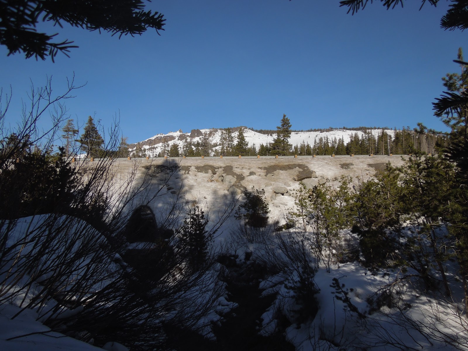
Taken by Peachy from Castle Pass looking south.
This was my second time out snowshoeing in my new MSRs made for virtually every condition.   You may remember that we each broke one of our trekking poles on our last trip so I had one of each set this time.  I ordered the new ones but they hadn't arrived so "Make do" as grandma used to say.  This time the sun was on our side rather than stormy weather, and I had mapped out a plan for a longer trail.  It seemed like a reasonable day's hike at 1 mile an hour average, expecting about 7+ miles and time for a meal. We used the sno park paid parking last week so we knew the ropes and were able to waste less time and get out on the trail.  (Pay at the hotel as you enter the parking area.  There are vending machines there, too.) Near the trailhead that is down the road in the loop is a vault toilet. Use the trailhead at the billboard sign turning north instead of south at the junction.  I was excited because our last trip was so much fun despite bad bad weather; this day promised to be stellar!
Our first creek crossing was wide and frozen.  We detoured a bit for a safer route. 
(Funny note!  Those are my mismatched poles!)  Those marks in the tree are trail markers.
The snow was sparkling, the weather was crisp but not bone chilling.  The snow was icy but I thought with sun it would soften up through the day.  (Guess again).

This widow maker is about to fall and is right on the trailside.

These photos are for fun and to show you to see what the trail was like:


Unlike the perfect dry powder we had last time, more effort was required to walk on this crunchy  snow and I found myself tempted to take the snowshoes off and just hike in my snow boots.  There were bootprints to follow and not much sinking, and I've done it before!  From the trailhead we made our way easily to the tunnel snown above that goes north under I-80 for the PCT.

You can see the trail to the left.


Once we crossed the highway it took some effort to stay on the trail because no one had been on it this far back  The sports store said lots of people were here yesterday so we expected broken trail all the way. 


There are few markers along the way and the GPS was a frequent help.
We wound through the woods and conquered one undocumented creek crossing after another.
I like those, but in the deep, crusty, unbroken snow there may or may not be a faint look of a trail buried. At the creeks we faced steep banks of one to three feet, the water (sometimes a foot deep) and the other bank would be as much or more of a drop off. 

The water running under the snow made the possibility of the bank breaking
into the creek, taking the hikers with it, an unpleasant thought. 
Here we went downstream to cross.

Troopers that we are, we kept going and with umpteen detours
for "safer" passage, we would leave and refind the trail. 

One of the few PCT markers, and imagine, no bicycles!
After several miles of detouring, it seemed like the GPS predicted the same distance to our destination which was confusing because it continued showing our tracks as progressing right along. 


In so much shade we had to stop and get me some layers, but we were dry and still happily challenged.  No conversation was possible unless we stopped because the crunching of the snow under our snowshoes was so loud we couldn't hear each other!  No kidding!

Finally we reached an intersection of trail junctions and had to choose that all go northerly, just more east to more west.  None was the obviously correct route and GPS wasn't a help at this time. Upward to the most northeastern direction was our choice. My quads, calves and even the tops of my feet were so achy, my usual penchant for going uphill had vanished.  I just wanted to stop and heat water and eat. 

We were finally heading up out of the woods and getting some distant views.

Peachy Hiker taking a rest!

At the top we were on a wide open ridge with breathtaking views all the way around!  We were buffeted by extreme winds that actually took me and another hiker completely off of our feet, in snowshoes, and threw us to the ground - me twice!  First time in my life!

The ski runs to the southeast.


Castle Pass to Castle Peak, and by our shadows you can see the sun is falling in the west.
The GPS showed us on another ridge to the north!  It wouldn't move either so clearly it had lost function.  Now getting later in the day, and being tired, we knew we faced a headlamp snowshoe back to the parking in possibly more unbroken and invisible trail. 


Achy and sore, but invigorated by the fantastic views, we headed downhill to the west southwest.  It was like a freeway.  Snowshoers, a snowmobile, cross country skiers, and hikers had made it so much easier by packing the snow and making the trail clear, plus it was all downhill.  How often do you hear me being glad about going downhill, but I was rapturous! 


Our whole hike totaled 9+ miles (we expected 7) and we did end up using headlamps, but only at the end and not a concern. 

Advisory:
The PCT wound through the woods and if you are experienced at finding your way in snow without anything but a map and compass, this route was untouched and had everything the backcountry offers. 


We had fun crossing creeks and identifying animal prints in the snow. If it were powder I would have been more thrilled!  At the end of the day I had sore muscles and an enormous sense of accomplishment.  Honestly I am not as sore from this hike as the last snow trek.  Our photos are prettier without the stormy grey images we got last time, too.  The views made it tempting to stay on Castle Pass for sunset and if I were familiar with the trail back, I would have.  The GPS failed twice on the trip so I posted our tracks but suggest searching for additional tracks to Castle Pass, PCT, and Peter Grubb Hut. Our map is shown below.  I drew in the places the GPS didn't record.  A handful of people have GPS tracks posted of hikes in this area, but be aware that in the snow, the trail is virtually undetectable in many places.


HAPPY TRAILS and as usual, remember to take plenty of water, snacks and food, layers for warmth and a first aid / safety kit.  I always say take a light source and way to start a fire.

Trails by Locations
Peachyhiker's GPS Tracks
Articles by Titles


If you appreciate our state parks (and sno parks), consider this letter I received and join in!  With membership you get a parking pass and other amenities, plus help keep our parks all open.
Dear Reader,Double Your Donation
Throughout 2012, our parks faced budget cuts, development threats and more. And next year's budget battle will be challenging.
The good news is you can double your impact with your tax-deductible gift today, which will be matched dollar-for-dollar!
That means your contribution of $75 or even $150 to California State Parks Foundation will go twice as far. But time is quickly running out – as this match only lasts until midnight on December 31st!
Your support has never been more important! We nearly lost 70 of our state parks this year. But it would have been a lot worse without supporters like you.
Stand with us and stand for parks today by making your tax-deductible, year-end contribution to the California State Parks Foundation.
Don’t lose any time! There are just a few weeks left for your support to do twice as much for our state parks! So please, double your gift – and your impact – before the clock runs out at midnight on December 31st.
Thank you again for your continued support this year and in the year to come.

Sincerely,
Elizabeth Goldstein
CSPF President and fellow supporter
Updated 12-14-12

November 08, 2012

Olmstead Knickerbocker Trails

Olmstead Loop is within a network of trails and old roads rambling through miles of rolling hills in Cool, California.

 
*At the end of this page are details including a map, elevation graph, and data information.  You can click on any photo and then view them sequentially, enlarged for more detailed viewing.

Knickerbocker Creek is a lush green, shady area,

pleasant for kids to play in, finding bullfrogs and tadpoles.

The trailhead is located south of Auburn from CA49 coming from I-80, and north of Coloma on CA49 from Highway 50, which you can see on the map at the bottom of this page.

Check out the acorns stashed in holes
in the old fence posts!
Distance: 3+ miles.  On this hike we traveled over 9 miles.
Location:  Cool, CA, CA49 near CA193.
Difficulty: Easy to difficult depending on your choices.
 
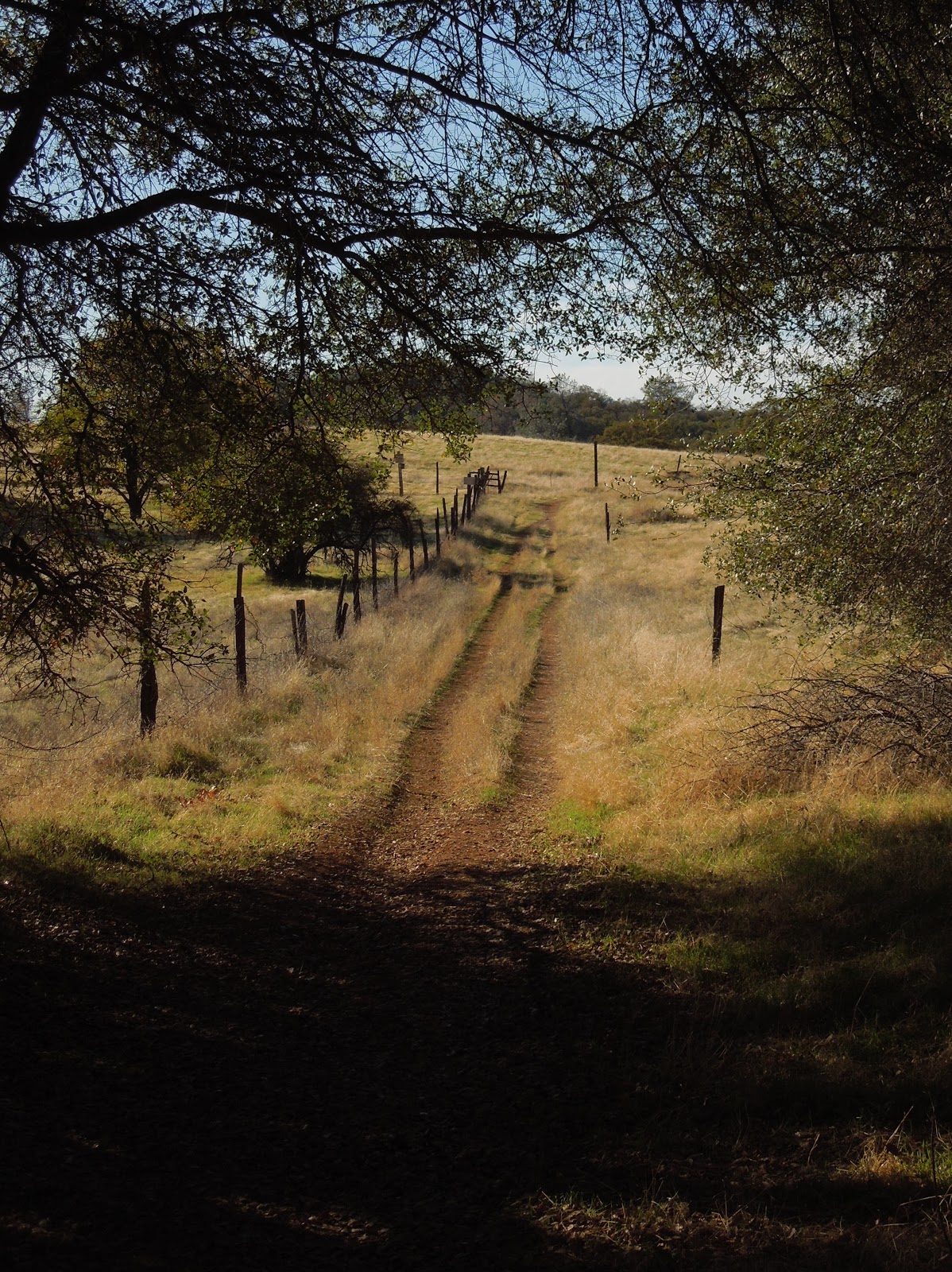
The trails vary from a paved road to old unused dirt roads, 
trail wide enough for several persons, down to single file.
 
 Shade is provided by several species of oak, along with some old walnut trees,
pines, and a few cottonwoods.
To my delight, we crossed paths with turkeys enjoying the shade. 

Other wildlife you may see include coyotes, skunks, raccoons, deer, hawks, ducks, geese, pheasants, bluebirds and other varieties of smaller birds. I have also met a bear back here, face to face. An acquaintance got bitten by a rattlesnake last year and had to hike out. She was hospitalized for 5 days, so keep your eyes and ears open.


Poison oak is taller than I knew existed!

Look closely at the dry, already leafless branches and stems, 
in the forefront of the pine tree ~ that's poison oak! 

Above is a closeup of a poison oak stem.  It is nubby and looks rubbery.  The trouble 

for you who are allergic: it is easy to miss while leafless.  On the bright side

 it really doesn't grow into the path on this hike, but is quite healthy alongside it.

There are two somewhat seasonal creek crossings and some wet depressions that support cattails. The ground may be soft and muddy but some short wood plank footbridges are installed to help you through.  Wear suitable shoes!


In the spring this is a popular hiking trail while wildflowers are abundant. Is this a Common Madia relative? In November we still found some very small unidentified purple flowers, yellow thistles, clarkia, larger purple thistles, and poppies.


The thistles ruled on this hike in autumn,
and displayed sparkling giant fluffs for children to wish on.  


You may come across this pond which is host to the birds
and wildlife, and has evidence of a rich history.

Beside it are old grinding rocks with deep wells,

thankfully shaded in the hot afternoons.

 
An old building still stands nestled in a grove of trees near the old walnut orchard.
 
Closer to Cool the wide trail is lined with trees
bending over it and shading hikers.

TRAIL SUMMARY    

     This set of trails is most excellent for the many options to determine the length of your journey (shown on the map below) and even how much sun or shade to spend your time in.  Heading south from the parking takes you across rolling hills brown with dried thistles and grasses.  On the west, the loop zigzags through a less generously wooded area. Then it leads you near the top of the canyon wall heavily shaded by pines and oaks, with distant views of the river and canyon far below. 
     As you descend to the Knickerbocker Creek crossing the moisture in the air is cool and luxurious on a warm day.  From there I am told the adventurous can hike down the canyon and see the Knickerbocker Falls. Otherwise, head uphill (some say it gets a little arduous) and turn northeast. The trail returns to sunny rolling hills with distant views to the south and southeast of snowy mountain caps, then runs alongside a charming old walnut grove.  Turning toward the east, you'll pass by the photogenic weathered "home" where the trail is wide and well-shaded.  The sounds of Highway 49 grow, and once there, there is a trail set off the roadside running parallel to 49 with the firehouse now in sight.
     In the winter and after storms, water pools and this trail is known (and loved by some) for becoming deep mud, most appreciated by mountain bikersEquestrians love the area, too and the parking behind the Cool Fire Station has ample room for large horse trailers. 
You can enlarge the map of area trails by clicking on it:


     There were also single file trail choices not shown on the map.  The very top of the map is where you head north and can connect with the Training Hill.  From there it is possible to go to Western States Trail from the bottom of the Training Hill and take it back uphill toward Cool, making an even longer loop. There are signs for these and other options. I have hiked everything I posted on this map, but we hiked 9.14 miles without that TH-WST section.

Here is a map of our hike as described above:


Click here for my Everytrail GPS tracks
Wikiloc has these trails posted individually by "Clipper Creek Wanderer".

Parking and Trailhead Information: 

     The official parking area is located west of Highway 49 behind the fire station, northwest of the only signalled intersection in Cool, where CA193 meets CA49.  (Some people park at the nearby market, southeast of the fire station.)
     The parking has state fees now. The Olmstead loop, if you go clockwise, heads out of the southeast side of the equestrian parking area. There is a picnic table in the sun and a vault toilet. 
 
HAPPY TRAILS!
 Updated 11-14-2012