Trails in Northern California

Trails in Northern California

Leave No Trace!

Visit desovw.org for more information about Desolation Wilderness. Visit Recreation.gov or call 1- 877-444-6777 to make park reservations. Visit Campfire Permits to get a permit online. More about Leave No Trace principles.

July 16, 2014

Loch Leven Lakes in Tahoe National Forest


Loch Leven Lakes are popular hiking and backpacking destinations southwest of Donner Lake, 

warm enough to enjoy swimming, and bring your fishing gear!


This map is to give you an idea of what to expect for the drive to the trailhead.  Parking consists of dirt pull outs.  Enlarge it by clicking on it to view details.  (Sorry, ignore the pink which is for another trailhead).

Difficulty:  Moderate.  Distance is flexible but also farther than beginners usually want to tackle for a day hike.  For backpacking though, you do half that distance each day, and 3 miles is an easier distance.  Be prepared for rocks and tree falls though.  This is an excellent beginner's backpacking trip! My 8 year old grandson said "Grammy, you added a whole new meaning to the word 'hiking'!" on this, his first backpacking trip.
Elevation changes:  Round trip, ascent 1218; descent: 1198, no section is too steep or scary.
Driving Directions:

  •      From I-80E take the Yuba Gap Exit.  
  •      In .2 mi. turn right onto Lake Valley Road.  It turns slightly left and becomes Crystal Lake Road. 
  •      In .2 miles make a slight right toward Lake Valley Road.  Continue for 1 mile.  
  •      Make a slight left onto Forest Route 19 and drive for 3 miles. 
  •      Continue onto Power Line for .8 miles.  
  •      Continue onto Forest Route 19 for .2 miles.  
  •      Turn left and drive for 1 mile. 
Note: The TH is after you pass Huysinks, which is visible from the road and looks like a large pond. You will follow the road to the right, going around the lake. 
Much of the drive is on dirt roads.  Conditions are fairly good right now with a few tire ruts, but fully negotiable by car.

This map shows the hiking trail.

The trailhead is on the left side of the road, heads into willows, and is posted with a small wooden sign.  Past the willows, it opens into the large meadow with corn flowers (at about knee-thigh height at this time)  For GPS Tracks check Wikiloc.


The walk through here is easy, on hard packed dirt, without obstacles.  When you pass the meadow, hike into the forest where the trail becomes hilly.  


Nothing too steep.  In the woods the trail leads through a beautiful, lush, cooler patch of ferns.


The trail will open into a rocky area, and you will climb a rocky, boulder section, winding your way upward. It sometimes looks like a creek bed.  Good shoes help grip the rocks and protect your ankles from twists. Kids do a lot better in good shoes as well.  I like using hiking poles for balance while moving from rock to rock.


An unnamed pond will be on your left, where we did encounter enough mosquitoes to spray ourselves with bug spray for relief from the biting pests.

From the trail, you can look down into the Salmon Lake bowl.  Since fewer people 
camp here, it is an excellent choice for a more secluded 
camping experience.  It can also be a resting place for your hiking break.
Keep traveling eastward.  There are cairns, tree blazes, rows of rocks placed by the forestry to line the trail on both sides across open granite areas, and, at "use paths" that might lead hikers astray, there are dead wood branches or rocks placed across them to help you recognize the designated trails.  Do not follow cairns exclusively because they can be placed by anyone to any random destination, although in general, when you think you lost the trail they can alert you to it.  Keep looking for additional markers and clues..  My 8 year old grandson was able to choose the correct route on almost every occasion using markers and signs.


High Loch Leven seems to appear out of nowhere!  My grandson wanted to drop everything and get out the fishing pole.  This first lake is large and has numerous campsites around it.  My preference is to avoid camping right beside a trail, which describes many of the sites available.  We traveled on to the sometimes less busy, Middle Loch Leven Lake.


Although we were able to camp off of the trail in this perfect campsite, there were groups 
of people hiking and swimming around the lake. Everyone was quiet by nightfall.


The next day a LARGE group of backpackers traveled through.  If you are traveling with a group like this, it is a good idea to break up into smaller groups to decrease your noise impact. Large groups are bound to be having fun, talking over one another, and perhaps getting a bit boisterous.  Keep in mind we affect the habitats of the wildlife with our visits too, so take the opportunity to enjoy wildlife in their home.

Once our base camp was set up,


we had time to explore the area. My grandson had time to try out his slingshot, try various fishing holes, explore, play in the water, and relax.


 We found plenty of wildflowers along the way, too.  Brightly colored birds hung around while we fished.  Watch for rattlesnakes, but we didn't see any.


***Use bear bags or canisters for your safety and for securing your food supply.  Also, rodents got into some of our supplies while we were out exploring, so don't leave your camp unsecured.


This is Middle Loch Leven Lake at sunrise.  

which includes directions for another parking and hiking route.
Get your permit here: Fire permits

Links for other hikes in the area:


Up to 7.5
Easy to Strenuous
You choose
Moderate to Strenuous
·         Loch Leven Lakes, Salmon Lake
7.2
Strenuous
6
Moderate


·         Sierra Discovery Trail
.7
Easy
·         Pioneer Trail

Hikes and Articles By Titles
Trails by Locations

Happy Trails!  

July 03, 2014

2018 Crooked Lakes Trail at Grouse Ridge CA

This was my grandson's second backpacking trip to this area.

Crooked Lakes Trail offers trail use for hikers, backpackers, equestrians, mountain cyclists, fishermen, seasonal hunters, and has excellent opportunities for outdoors activities for youngsters.


July 2018 update:  The weather was variable, warm, cold and windy, and rained most of one day.  Check for weather forecasts and go there prepared for unexpected changes that are common in this area.  On this trip there were no pesky flies at any of the many lakes we visited as were noted below.  Mosquitoes were there but not a high number. There were no more of the biting orange beetles mentioned in the article either, thank goodness. The trail to Milk Lake is more adequately marked than on our last trip, and for my 9 year old grandson's first backpacking trip, we camped there. Expect to see some kids as I do on every hike there, making a great family destination.
The forestry link is here.  
Distance: can be as little as one mile and can go for many miles over many days.
Difficulty:  Easy to difficult, according to your choice.  I would be comfortable taking an outdoorsy child who can hike at least 1/2 mile in and then out. They would enjoy the lakes. It really is not too steep for any length of time.  There were some tree falls to climb over or go around, and strollers are out of the question. We always meet people with kids here and it is an excellent place for backpacking with youngsters.
Weather: For forecasts click here.
Driving Directions:  Get onto Highway 20 West from Highway 80 west of Donner.  Turn right onto Bowman Lake Road, cross the South Fork Yuba River and keep going until you see the sign for Grouse Ridge.  Turn right on the forest road NF-17 which turns to a dirt and gravel road immediately.  When there are offshoots, just follow the road to the right.  It gets quite tricky just before you reach the parking.  There is a parking circle carved out on your right just before the original shaded parking area at the trailheads that will just extend your hike a little bit.  I drove my car successfully in.  The top parking is nice and shady.  
Note:  There are fees to pay at the trail head for using the backpackers campground facilities, but not if you backpack beyond it and camp near other lakes.  There are a countless number of sites throughout the area, but no restrooms beyond Carr-Feeley.  Fire permits are required, although there are currently fire restrictions, so check the Tahoe National Forest link provided at the end of this article before your trip.  Get your permit here: Fire permits
For a pocket map of the area, Right click on the image, Save image as....name it, and choose the location to keep it on your device.  Now you can print it as an 8 1/2" by 11" guide to take along. With all the lakes and trails at this location, it can come in handy.
This time, we arrived during a small heat wave! There were many day hikers and a few backpackers. Our camp site was along the west shore of Island Lake with good water access.  We didn't use our tent's rainfly, and sleeping bags weren't really necessary since the nights were very warm.
We discovered numerous sites along all but a few small unnamed lakes.
This campsite on the north side of the unnamed lake west of Island Lake has some nice flat tent sites nearby, is far enough from the lake, but clearly has a hazardous fire ring setup.  We chose a sunny site thinking it would be nice not to wait for morning dew to dry before packing up camp, but in this hot weather, shade like this might have been best.
There are trout and catfish in Island Lake and some surrounding lakes, although we didn't see anything large.  Only a few fish were observed feeding at sunset.
The local views of the lakes were satisfying at the end of our active days.  
There were some orange beetles (not ladybugs) voraciously biting our lower legs and feet, leaving itchy red bumps to remain for days.  Mosquitoes stayed until breezes kicked in, but the worst offenders were large black flies buzzing around our heads tapping our hair frequently, and I mean persistently.  Hikers we met reported them at other lakes they visited on this journey.  Breezes affected only the mosquito activities.
Our trip was enjoyable with weather perfect for swimming, fishing, and bonuses of viewing two eagles doing their own fishing.

FIRE RESTRICTIONS ARE IN EFFECT for Tahoe National Forest.  Get your permit here: Fire permits to use backpacker stoves and check any new restrictions.

For more tidbits of helpful information from previous trips in various weather conditions check out these posts:

Carr Feeley Trailhead and Backpackers Camp will give you more information about the area and another map of trails northwest of the Grouse Ridge. From there you use the Twin Lakes Trail or Round Lake Trail.
Crooked Lakes Trail Survivor Night describes an unexpected storm, hiking hazards and solutions. A true account with a happy ending.

Happy Trails!
July 2014

June 29, 2014

Lyons Creek Trail to Lake Sylvia-June 2014

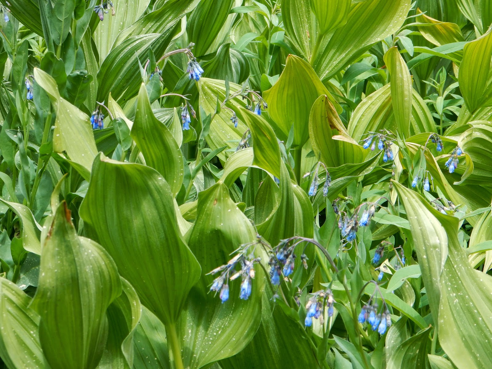
WILDFLOWERS ARE BLOOMING 

more profusely than I have ever seen along Lyons Creek!

EVERYWHERE, IN EVERY COLOR, ALL AT ONCE!  

Lake Sylvia, Desolation Wilderness, June 2014
Distance:  12+ miles round trip, upward, some loose rocky sections.
Difficulty:  At 12 miles I would rate any hike difficult, but aside from length, there are several creek crossings (one could be ankle deep).  A plus is the elevation gain is accomplished going in, and coming out is downhill!
Elevation gain:   + 1875 feet up and -1875 back down.
Notes: Day passes are available at the trail head. There is parking, but no restrooms are available. You could drive up to the Bloodsucker Lake parking, or stop before you get off of Highway 50. For backpacking, see the notes near the end of this page.  More notes at the end of the article.

Photos of the trail and views  are arranged chronologically.  Click on one and you can see them enlarged.  Another great website, with photos posted by me and others, is Desolation Wilderness Volunteers.  It also includes a wealth of information if you plan on visiting.

Walk along a barely used roadway for  forestry related activities.  In a short distance though it becomes trail, first leading you through an large open meadow.
Take one of the use paths to your left when you hear the water, and at some of those locations you can refill your water or maybe splash to cool off.
The following photos will take you through to the lake.
Enter the woods on a hard packed soil trail.
I get excited when I reach this point, feeling closer to my destination.  Pyramid Peak is 
some hikers' goal.  The lake is in the bowl beneath the peak though, so you 
won't have to climb it unless you are prepared to do so.  That is another story.
This open area has corn lilies about hip high, not yet in bloom, intermingled with wildflowers.


The creek crossings are usually shallow.  Step across the rocks and head into the woods again.
The view to the south side.  
As you get closer to the lake, the trail is composed of loose rocks.  If you are prone to twisting an ankle, mid boots will help prevent injury.  I have seen people hiking out here in flip flops!
Although this is not the crossing, it is the last creek you will cross to get to Lake Sylvia.  I included this shot so you can get an idea of the creek depth at this time.
We have arrived!  Bring your fishing pole if you have one.  There were a handful  of fishermen along the west shore and I could see fish swimming along the south side where I had lunch.  Please note that this lake is a sensitive area with recent restoration work done.  Please respect the effort.  These signs will show you the areas to avoid:

Vicariously, enjoy blooms in Desolation this June and July

without driving up and hiking by viewing the photos below:


and more can be found at  Desolation Wilderness Volunteers website under the media heading.
Driving Directions:
  • Take Wrights Lake Road north off of Highway 50 at Kyburz. 
  • Follow the signs to Lyons Creek Trailhead. (No restroom here) If you reach the Bloodsucker Lake parking, you have gone too far.  
Fees:  
  •  Day use fees: none; permits available at trailheads seasonally.   
  • Backpacking: $5.00 for the first night, and $10.00 for 2-12 nights.  Children 12 and younger are free.  
To obtain passes or for assistance in trip planning:
  • or visit Pacific Ranger Station Fresh Pond, 7887 Highway 50, Pollock Pines, CA or call (530) 647-5415 .  
  • If you are from the Tahoe side, check with Lake Tahoe Basin Management Unit at (530) 543-2600. 
Other regulations and restrictions can be found on the website, too.
 I highly recommend you bring water and some snacks or lunch. No fires are permitted in the wilderness. Have your fire permit to use your stoves and lanterns. 
Get your permit here: Fire permits
 Please Leave No Trace and enjoy your trip!

Happy Trails!

Related Posts you might be interested in for nearby trails:

Desolation Wilderness
2015-07
10+ miles
Strenuous
2014-08
30 miles
Moderate to Strenuous/Difficult
2014-07
18 miles
Moderate-Difficult
2014-06
12+ miles
Moderate to Strenuous
2013-06
13+ miles
Moderate to Strenuous
2012-09
Umpa Lake & Enchanted Pools
8+ miles
Cross country ~ Moderate
2012-08
Horsetail Falls via Pyramid Creek TH
Aprox.  10 miles to lakes at the top of the falls
"Difficult, and potentially dangerous" miles
2012-07
10 miles
Moderate
2012-07
8 miles
Moderate-Strenuous
2012-06
Lyons Lake via Lyons Creek Trail
10+ miles
Strenuous
2012-08
9.2 miles
Moderate
2012-06
6+ miles
Strenuous
2011-07
Lyons Creek Trail with melting snow
9+ miles
Moderate
2011-02
3.8 miles
Moderate
2010-09 We hiked 12 days.
167 total
Moderate to Strenuous

See the Full Table of Contents.
Added updated links and Table of Contents 06-2016