Trails in Northern California

Trails in Northern California

Leave No Trace!

Visit desovw.org for more information about Desolation Wilderness. Visit Recreation.gov or call 1- 877-444-6777 to make park reservations. Visit Campfire Permits to get a permit online. More about Leave No Trace principles.
Showing posts with label equestrian. Show all posts

July 03, 2014

2018 Crooked Lakes Trail at Grouse Ridge CA

This was my grandson's second backpacking trip to this area.

Crooked Lakes Trail offers trail use for hikers, backpackers, equestrians, mountain cyclists, fishermen, seasonal hunters, and has excellent opportunities for outdoors activities for youngsters.


July 2018 update:  The weather was variable, warm, cold and windy, and rained most of one day.  Check for weather forecasts and go there prepared for unexpected changes that are common in this area.  On this trip there were no pesky flies at any of the many lakes we visited as were noted below.  Mosquitoes were there but not a high number. There were no more of the biting orange beetles mentioned in the article either, thank goodness. The trail to Milk Lake is more adequately marked than on our last trip, and for my 9 year old grandson's first backpacking trip, we camped there. Expect to see some kids as I do on every hike there, making a great family destination.
The forestry link is here.  
Distance: can be as little as one mile and can go for many miles over many days.
Difficulty:  Easy to difficult, according to your choice.  I would be comfortable taking an outdoorsy child who can hike at least 1/2 mile in and then out. They would enjoy the lakes. It really is not too steep for any length of time.  There were some tree falls to climb over or go around, and strollers are out of the question. We always meet people with kids here and it is an excellent place for backpacking with youngsters.
Weather: For forecasts click here.
Driving Directions:  Get onto Highway 20 West from Highway 80 west of Donner.  Turn right onto Bowman Lake Road, cross the South Fork Yuba River and keep going until you see the sign for Grouse Ridge.  Turn right on the forest road NF-17 which turns to a dirt and gravel road immediately.  When there are offshoots, just follow the road to the right.  It gets quite tricky just before you reach the parking.  There is a parking circle carved out on your right just before the original shaded parking area at the trailheads that will just extend your hike a little bit.  I drove my car successfully in.  The top parking is nice and shady.  
Note:  There are fees to pay at the trail head for using the backpackers campground facilities, but not if you backpack beyond it and camp near other lakes.  There are a countless number of sites throughout the area, but no restrooms beyond Carr-Feeley.  Fire permits are required, although there are currently fire restrictions, so check the Tahoe National Forest link provided at the end of this article before your trip.  Get your permit here: Fire permits
For a pocket map of the area, Right click on the image, Save image as....name it, and choose the location to keep it on your device.  Now you can print it as an 8 1/2" by 11" guide to take along. With all the lakes and trails at this location, it can come in handy.
This time, we arrived during a small heat wave! There were many day hikers and a few backpackers. Our camp site was along the west shore of Island Lake with good water access.  We didn't use our tent's rainfly, and sleeping bags weren't really necessary since the nights were very warm.
We discovered numerous sites along all but a few small unnamed lakes.
This campsite on the north side of the unnamed lake west of Island Lake has some nice flat tent sites nearby, is far enough from the lake, but clearly has a hazardous fire ring setup.  We chose a sunny site thinking it would be nice not to wait for morning dew to dry before packing up camp, but in this hot weather, shade like this might have been best.
There are trout and catfish in Island Lake and some surrounding lakes, although we didn't see anything large.  Only a few fish were observed feeding at sunset.
The local views of the lakes were satisfying at the end of our active days.  
There were some orange beetles (not ladybugs) voraciously biting our lower legs and feet, leaving itchy red bumps to remain for days.  Mosquitoes stayed until breezes kicked in, but the worst offenders were large black flies buzzing around our heads tapping our hair frequently, and I mean persistently.  Hikers we met reported them at other lakes they visited on this journey.  Breezes affected only the mosquito activities.
Our trip was enjoyable with weather perfect for swimming, fishing, and bonuses of viewing two eagles doing their own fishing.

FIRE RESTRICTIONS ARE IN EFFECT for Tahoe National Forest.  Get your permit here: Fire permits to use backpacker stoves and check any new restrictions.

For more tidbits of helpful information from previous trips in various weather conditions check out these posts:

Carr Feeley Trailhead and Backpackers Camp will give you more information about the area and another map of trails northwest of the Grouse Ridge. From there you use the Twin Lakes Trail or Round Lake Trail.
Crooked Lakes Trail Survivor Night describes an unexpected storm, hiking hazards and solutions. A true account with a happy ending.

Happy Trails!
July 2014

June 16, 2011

Balderson, Dru Barner, & Little Silver Loop Hike

Mysterious Bald Mountain in a Snowstorm

This is up a little further but shows winter is settling in and my trip to Bald Mountain Nov, 12th, 2012  had sections of forest roads covered in snow.  I would recommend checking with the local Foresty Station for conditions.  Office information below the map.)
That wasn't fog, but snow that turned into a white out!  I can't wait to return!

     Park at the Balderson Equestrian Staging Area (before Balderson Road) off of Wentworth Springs Road, about 5+ miles out of Georgetown.  My GPS read 38.93142105,-120.75691709.

There is really only room for one vehicle with a horse trailer to park near two picnic tables in the shade.  I parked closer to the actual trailhead.  I started hiking at the sign for the Dru Barner Trail.

***During the snow season this area warns drivers to have snow tires or not enter the area.  Snow plows may not come by!

Below are photos and hiking notes made during the regular "hiking season".

This is the trail head I used in June of 2011.
Another view of the same trail head.


A short distance away you'll cross this ditch.  Note that I found no potable water
or porta potty so go prepared.
Continue hiking this way and you will see the sign below.
At this point I took the turn to the right. Having never explored these trails,
I opted to go with the GPS suggested trail.
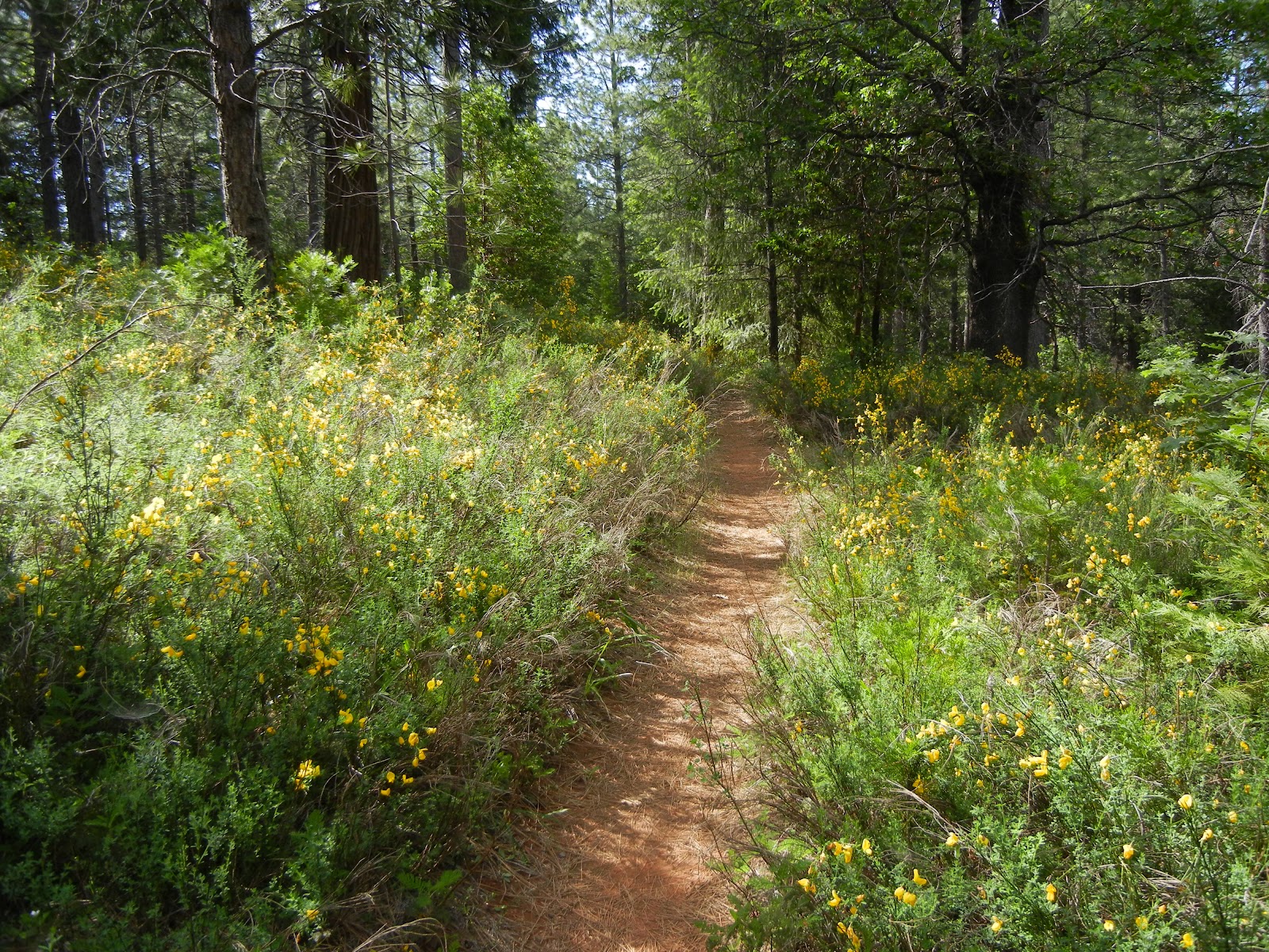
Of course part of the fun was finding the wild blooms and photo moments!  There trail has a random mix of sun and shade making it a nice hike in sunny weather. You don't get to hike along a stream though so carry water.
Next you'll come to this junction and I went to the left, only because
the trail tracks I loaded from Wikiloc took that route.
Most of the views were very local woodsy trail views but here the trail broke into this wide open distant view and a bit of sunshine!
This was quite a find because the color red and the bug were not visible to my naked eye!  The flowers are small and I used a macro setting to photograph it.  What a nice bonus when I got it home and viewed it!

The trail meandered through the woods and areas of tall manzanita, easy on the feet and ankles.
This sign was on the right and the one below on the left!
At this junction I decided to stay on Little Silver Loop, which meant continuing straight ahead.
What a cooperative and colorful find!
This was a bit of trail returning to the car, AKA, "the Holy Grail".
This old cattle loading corral is weathered and reminiscent of the good ole' days.  It sits right near the picnic tables and the trail head.  Overall I hiked 6.11 miles and my total elevation climb totaled just over 1000 feet, so then about as much down as well.  But it was all gradual, easy slopes up and downward.  Parking was free.  Lots of options as you can see, so it could be shorter or longer as you decide!


GPS tracks for this hike.

Georgetown Ranger District Patricia Trimble, District Ranger
7600 Wentworth Springs Road
Georgetown, CA 95634
530-333-4312
TTY 530-333-5511
Summer Schedule: Open 7 days a week until November 17
Winter Schedule: Open Monday - Friday
8:00 am - 4:30 pm


Updated 11-2012