Trails in Northern California

Trails in Northern California

Leave No Trace!

Visit desovw.org for more information about Desolation Wilderness. Visit Recreation.gov or call 1- 877-444-6777 to make park reservations. Visit Campfire Permits to get a permit online. More about Leave No Trace principles.
Showing posts with label poison oak. Show all posts

November 08, 2012

Olmstead Knickerbocker Trails

Olmstead Loop is within a network of trails and old roads rambling through miles of rolling hills in Cool, California.

 
*At the end of this page are details including a map, elevation graph, and data information.  You can click on any photo and then view them sequentially, enlarged for more detailed viewing.

Knickerbocker Creek is a lush green, shady area,

pleasant for kids to play in, finding bullfrogs and tadpoles.

The trailhead is located south of Auburn from CA49 coming from I-80, and north of Coloma on CA49 from Highway 50, which you can see on the map at the bottom of this page.

Check out the acorns stashed in holes
in the old fence posts!
Distance: 3+ miles.  On this hike we traveled over 9 miles.
Location:  Cool, CA, CA49 near CA193.
Difficulty: Easy to difficult depending on your choices.
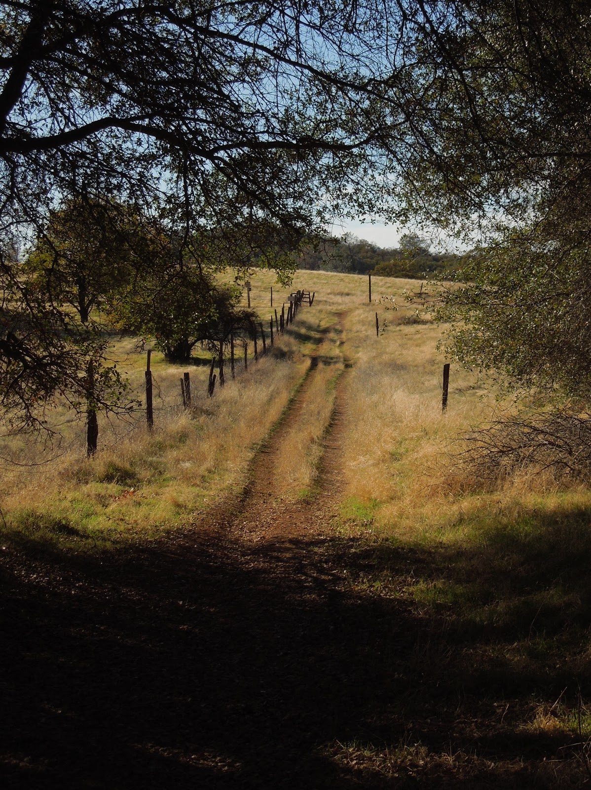
 
The trails vary from a paved road to old unused dirt roads, 
trail wide enough for several persons, down to single file.
 
 Shade is provided by several species of oak, along with some old walnut trees,
pines, and a few cottonwoods.
To my delight, we crossed paths with turkeys enjoying the shade. 

Other wildlife you may see include coyotes, skunks, raccoons, deer, hawks, ducks, geese, pheasants, bluebirds and other varieties of smaller birds. I have also met a bear back here, face to face. An acquaintance got bitten by a rattlesnake last year and had to hike out. She was hospitalized for 5 days, so keep your eyes and ears open.


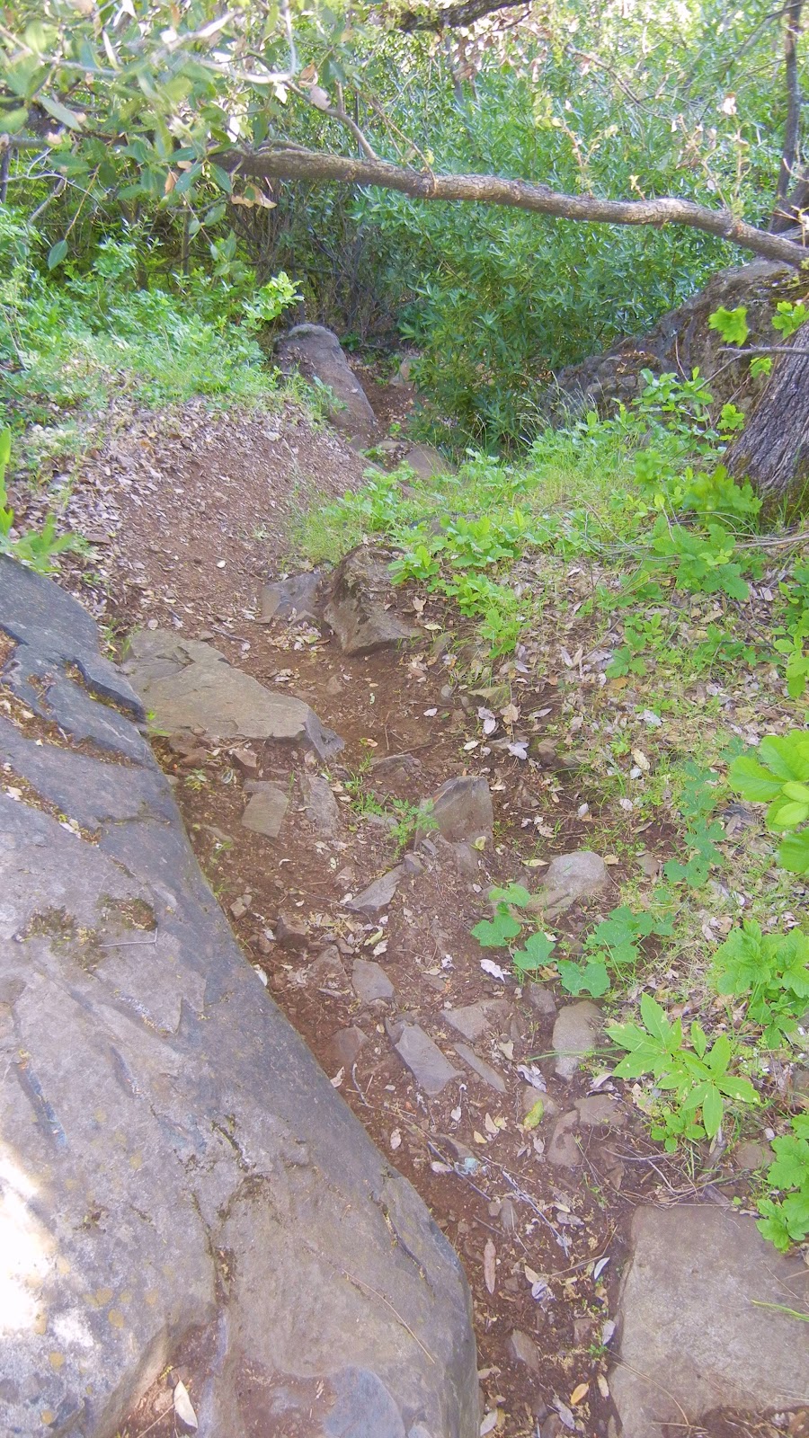
Poison oak is taller than I knew existed!

Look closely at the dry, already leafless branches and stems, 
in the forefront of the pine tree ~ that's poison oak! 

Above is a closeup of a poison oak stem.  It is nubby and looks rubbery.  The trouble 

for you who are allergic: it is easy to miss while leafless.  On the bright side

 it really doesn't grow into the path on this hike, but is quite healthy alongside it.

There are two somewhat seasonal creek crossings and some wet depressions that support cattails. The ground may be soft and muddy but some short wood plank footbridges are installed to help you through.  Wear suitable shoes!


In the spring this is a popular hiking trail while wildflowers are abundant. Is this a Common Madia relative? In November we still found some very small unidentified purple flowers, yellow thistles, clarkia, larger purple thistles, and poppies.


The thistles ruled on this hike in autumn,
and displayed sparkling giant fluffs for children to wish on.  


You may come across this pond which is host to the birds
and wildlife, and has evidence of a rich history.

Beside it are old grinding rocks with deep wells,

thankfully shaded in the hot afternoons.

 
An old building still stands nestled in a grove of trees near the old walnut orchard.
 
Closer to Cool the wide trail is lined with trees
bending over it and shading hikers.

TRAIL SUMMARY    

     This set of trails is most excellent for the many options to determine the length of your journey (shown on the map below) and even how much sun or shade to spend your time in.  Heading south from the parking takes you across rolling hills brown with dried thistles and grasses.  On the west, the loop zigzags through a less generously wooded area. Then it leads you near the top of the canyon wall heavily shaded by pines and oaks, with distant views of the river and canyon far below. 
     As you descend to the Knickerbocker Creek crossing the moisture in the air is cool and luxurious on a warm day.  From there I am told the adventurous can hike down the canyon and see the Knickerbocker Falls. Otherwise, head uphill (some say it gets a little arduous) and turn northeast. The trail returns to sunny rolling hills with distant views to the south and southeast of snowy mountain caps, then runs alongside a charming old walnut grove.  Turning toward the east, you'll pass by the photogenic weathered "home" where the trail is wide and well-shaded.  The sounds of Highway 49 grow, and once there, there is a trail set off the roadside running parallel to 49 with the firehouse now in sight.
     In the winter and after storms, water pools and this trail is known (and loved by some) for becoming deep mud, most appreciated by mountain bikersEquestrians love the area, too and the parking behind the Cool Fire Station has ample room for large horse trailers. 
You can enlarge the map of area trails by clicking on it:


     There were also single file trail choices not shown on the map.  The very top of the map is where you head north and can connect with the Training Hill.  From there it is possible to go to Western States Trail from the bottom of the Training Hill and take it back uphill toward Cool, making an even longer loop. There are signs for these and other options. I have hiked everything I posted on this map, but we hiked 9.14 miles without that TH-WST section.

Here is a map of our hike as described above:


Click here for my Everytrail GPS tracks
Wikiloc has these trails posted individually by "Clipper Creek Wanderer".

Parking and Trailhead Information: 

     The official parking area is located west of Highway 49 behind the fire station, northwest of the only signalled intersection in Cool, where CA193 meets CA49.  (Some people park at the nearby market, southeast of the fire station.)
     The parking has state fees now. The Olmstead loop, if you go clockwise, heads out of the southeast side of the equestrian parking area. There is a picnic table in the sun and a vault toilet. 
 
HAPPY TRAILS!
 Updated 11-14-2012

October 01, 2012

Coloma Waterfalls In September 2012 vs Spring

A glimpse of the top of waterless Johntown Falls in September 2012.

Update: October 2012: Conditions are hot, dry, stickery, and trail conditions are extremely poor. I would not take children back toward the falls. Not only is it hazardous, full of invisible poison oak, but also any more pools normally worth getting to have dried up to wet spots. The sitting water is mossy and brown. Worst downside of all, no waterfalls!!!! Dry as a bone.


Upper Dutch Falls on September 30, 2012.

The affectionately named "Ancient Lady"west of the Upper Dutch Falls September, 2012.

Ancient Lady in May 2012 with a glimpse of Upper Dutch Falls to the left.


Upper Dutch Creek Falls in late April, 2010


Johntown Falls in Coloma, CA Taken in April, 2010


Take water with you as there is none very appealing to try to purify!

There is no foothold here and quite a stretch from "level" ground to grabbing the biggest rock and hoping you don't fall.  It is slippery and steep.  You can grab the tree branches to pull yourself up, but it is risky!  Going down is another vertical episode.  AT YOUR OWN RISK FOR SURE!

Dutch Creek Trail needs serious maintenance work to become safe, and beware of the poison oak you can barely see now. It is everywhere, but leafless or with little white balls, but bare branches. It is no less toxic to the allergic.


This was a suffocatingly hot difficult day!  I vote for staying by the river to play until we get some rain. But in case you are so determined:
Coloma is between I-80 and Highway 50 on Highway 49. 
  • Go to Coloma, pay for parking at the parking lot kiosk.
  • Walk over the one lane bridge. (You can't miss it as the town is VERY small.)
  • Turn right on Bayne and follow the paved road to the locked green gate on the left across from the house downhill by the river. It is also identifiable by small signs like rattlesnake warnings, says State Park, and is a regular locked forestry green gate you climb over or through.
  • The trail is single file, but visible. Dry brown knee height stickers crowd the trail.


Advisories to hike to the creek and waterfalls:
The trail is single file all the way. It leads through the dry, weedy, stickery fields, into the trees, and then has some steep ups and downs, but they are short. There is some brush, a couple of tree falls you have to climb over, under, or around. The trail is hard dirt mostly and has a blanket of very dry slippery leaves I swept away for safer footing.  Hiking pole(s) are handy balancing tools, but cumbersome when you have to hang on to something to get around something else! If I can give any advice, it is wear GOOD hiking shoes; take water and snacks. Follow the trail to the falls! Have an adventurous and happy day!
Latitude: 38-47'57'' N    
Longitude: 120-52'54'' W
 
Thank you for checking in! There is another review of this hike on this blog dated April of 2010, and has some other information, and beautiful photos showing the differences you can come across.

Other hikes near this area that you may be interested in:

BLM ~ Bureau of Land Management
Near Coloma, CA

Peachy Hiker's Table of Contents
or
CA State Parks
ASRA ~ Auburn State Recreation District
October, 2012
 Happy Trails!

June 04, 2012

Redwoods: Montgomery Woods State Reserve


*If you click on the photos or maps, they will be enlarged.
The World's Tallest Living Things"
Taken May, 2012 by Laura Sheffield in Montgomery Reserve
     This unique redwood grove is worth driving the winding narrow road for 30 miles out of Mendocino or a mere 13 out of Ukiah.  This Reserve began as a small donated parcel of nine acres in 1945 and has grown to over 1300 acres today.  What makes this grove special is its location, accessibility via a well maintained trail, the five memorial areas dotted with carved wooden benches, a babbling creek, and lush vegetation growing thickly beneath the majestic 300 foot tall redwoods.  Included are several varieties of ferns, sorrel, wild irises, miners lettuce and the inevitable poison oak!


     The path is reported as 3 miles by the forestry website, and I included a map as well as links in this article for more in depth information seekers.  "No dogs" is posted along with the sign shown below that says "Steep Grade".  As my friend and I easily ambled uphill, we wondered where the "steep grade" part of this loop would begin.


Montgomery Creek Taken May, 2012 by Laura Sheffield in Montgomery Reserve

     On our right, and across from the picnic area next to the creek,


there was a gate of sorts and a wide trail heading uphill, traversing steadily and with a steeper grade, so we bounced along thinking we had found the way to the grove.  It was a sweat breaker, but I wondered quietly, "Why is this section such a mess?  How do families with children get up this?"

Taken May, 2012 by Laura Sheffield in Montgomery Reserve

     Onward and upward until we reached a chain link fence posted "No Trespassing"  and "Private Property".  We bushwhacked to the left and up a bit to see if we could see the magical redwood wonderland.  Nope.  So we turned back and headed down.  We met a couple coming up so we warned them and they turned back as mystified as we were.  I guess we have done too much bushwhacking!

Taken May, 2012 by Laura Sheffield in Montgomery Reserve

     The original bit of uphill trail WAS the steep grade.  No worries.  You and your family will have a great time wandering through the almost timeless groves although there are stairs carved into fallen trees.  In a very short distance from where we rejoined the original trail, we found the mystical redwood grove.

Taken May, 2012 by Laura Sheffield in Montgomery Reserve

     There were carved benches such as this and stairs were cut through fallen trees for ease in following the trail and maintaining the natural environment.

Taken May, 2012 by Laura Sheffield in Montgomery Reserve

Taken May, 2012 by Ken Pugh in Montgomery Reserve

     At first the trees impressed us, but the deeper we hiked into the grove, the more awe inspiring the trees were!  I could picture children having fun running and playing hide and go seek here!

Taken May, 2012 by Laura Sheffield in Montgomery Reserve

     Trees whose centers have been burned out become homes to a variety of birds, bats, and mammals.  In the canopy, there is estimated to be 5 to 10 times the ecomass of any rainforest!  Some limbs support 3 foot thick mats of soil and huckleberry bushes bearing fruit, along with several varieties of ferns.  The top predator is the wandering salamander who may never even touch the ground, and feeds on prey such as termites! 

Wild Iris
Redwood Sorrell thickly carpets the grove floor.  Kids who enjoy looking for 4 leaf clovers will delight in these extra large clover shaped leaves!
Taken May, 2012 by Laura Sheffield in Montgomery Reserve
      It seems impossible to capture the enormity of these trees that reach up to 300+ feet tall, over 30 stories high!  Their crowns obscure the sky and shade the forest floor.  Todd Dawson estimated that 1/4 to 1/2 of the redwood's water comes from fog.  This also prevents the sun from drying the ground and creates a dense green ecosystem at ground level known as understory vegetation.

Banana slug
      The map shows a single loop but there are so many directions you can go to wind your way through the grove.  It's small enough you won't get lost, and big enough to make the drive to get there worthwhile. I would suggest a picnic and cool drinks.  (The grey dotted line meandering off of the dark line is the trail we mistakenly took. As you can see from the topo lines, the elevation gain is a far cry from what the true trail called a "Steep Grade"!)


     The temperatures here stay cool, highs ranging from 52 F to 70 F and lows from 36 F to 49 F partly due to the thick redwood canopy, all the moisture it contains, and abundant shade.  I imagine there are times mosquito spray would be a necessity, although we didn't bother.  Taking layers is suggested due to the north coastal type of weather.
     Parking can be limited, so I might go early or avoid weekends, but there is also an overflow parking area across the road.  We went on a three day weekend, early afternoon, and parking was full, but with people coming and going.  It is just such a long ways from other activities, no parking could be disappointing.  Bathrooms are available near the trailhead..  The road here is full of hairpin turns and some steep hills.  In some places it was more civilized and others were potholed and one lane wide!  Take Dramamine if anyone is prone to car sickness.  Otherwise, the drive is an excellent sunny day, country day outing, with the redwood grove being a memorable destination.

The trail heading out. Taken May, 2012 by Laura Sheffield in Montgomery Reserve
      In researching this reserve I learned a surprising amount about the history of the movement to protect the redwoods ancient stands from logging, and the forestry's programs to replant and provide the best environment possible to support new tree growth, and logging practices evolving with our knowledge.
     I discovered things to put on my own bucket list like enriching my appreciation for these groves by traversing a redwood canopy via ziplines!  There are children's programs to provide experience in and knowledge of the complex biodiversity, and the truly unique nature of groves never logged.
     Below is a list of links that helped inform me more about adventure opportunities in the redwoods, including hundreds of miles of backpacking trails and primitive campsites, as well as newer scientific discoveries about the various ecosystems that depend on old growth redwoods.  I learned valuable information from other sources offline too, but these websites are easy for readers to access and a good start.  National Geographic's feature "Climbing Redwood Giants" is worth looking up.  I found it on Netflix.

"Since 1918, Save the Redwoods League has protected and restored redwood forests and connected people with their peace and beauty so these wonders of the natural world flourish. Your donations help us purchase redwood land, restore logged forests, study how to best protect them and teach children and adults about these magical expressions of life." 
The best site I found for photos and information about California's Redwood Forests.  It is well researched, written, illustrated, and worth your time.  The blog has an extensive list of redwood forests, and although some information may be outdated, it is still the most organized, comprehensive guide I found.
This site operates zipline tours of the forest canopy, children's educational programs, in  addition to specially arranged experiences from their campus located near Santa Cruz, and adjacent to the redwood forest.
    California Parks government website.
    This is a blog by John McKinney about hiking.


           More often than not, redwoods sprout from a mother tree rather than from seed.  They call these "cathedral rings".  The trees may only bear seeds once in 10 years, and most seeds are not fertile.  A cone is the size of a tomato! Taken May, 2012 by Laura Sheffield in Montgomery Reserve
      Interesting views along the drive.
      The straight section of the winding road.
      Overflow parking.
      The foot bridge just prior to the trailhead.
      Ken, and one of the grand mother trees with fire damage from the 2008 fire.
       
      Peachy Hiker's Table of Contents


      Photos copyrighted.  Use with permission for profit please.