Trails in Northern California

Trails in Northern California

Leave No Trace!

Visit desovw.org for more information about Desolation Wilderness. Visit Recreation.gov or call 1- 877-444-6777 to make park reservations. Visit Campfire Permits to get a permit online. More about Leave No Trace principles.
Showing posts with label Gold Country hikes. Show all posts

July 23, 2013

Sugar Pine Reservoir: Hikes, Fishing, Boating, Camping, Swimming...

Beautiful views, an easy drive, forested, and at higher elevation for a cooler temperature. Perfect for a family day on the water.  Equestrian trails too.

Located 15 miles northeast of Foresthill.

Perfect.  There are four main recreation areas around the lake, including the boat ramp, campgrounds, a picnic area, and a swimming beach.  There are numerous places to swim and hang out which you can get to by trail or boats, kayaks, and rafts.  I found two rope swings near each other. Most of the facilities are wheelchair accessible.  Boats are limited to ten miles per hour.
One entrance.  The trail beyond this is excellent ~ don't worry!  There are other places to park and get to the lake, too. 

One of the things I enjoyed was how quickly some places along the lakeside have a drop off so I could get submerged at once rather than wade in slowly and painfully! If you prefer the gradual, beach-like spots, they are all around the lake too.

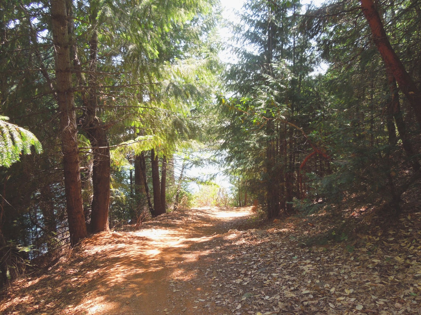
The trail is shady, making your hike more pleasant, then you can choose some sunny spot to hang out if you prefer.  I had few bugs or mosquitos bother me.  At 3500 feet elevation, this makes a great escape from the valley heat!

 For your inner tarzan! 
 Rope swings were popular this weekend.

 Fishing for warm and cold water species is good.  The boat ramp (with a large parking and restroom)is located on the southeast side of the lake.  I parked on the southwest side where there is also ample parking, no restroom, that is located along Sugar Pine Road before it becomes Iowa Hill Road.


 Several campgrounds are walking distance from the lake, as well as day use parking with the advantages of picnic tables and bathrooms.  Manzanita Day Use Area fills up on hot days.  There are also biking and horseback riding trails available, and OHV areas are open in Tahoe National Forest.


 Family and group sized spots were available when I drove through Shirttail Campground on Saturday, but I would always recommend trying for reservations.


 As I left, I made the decision to follow the "primitive road", Iowa Hill Road to Colfax, rather than retrace my longer drive up through Foresthill.  The views were a pleasure, if you don't mind driving along a mountainside with steep canyon walls descending father down than the eye could see along one side!


Before long I entered the fee area (laughably) since behind this sign is a wide turnout without so much as a garbage can!  However, there are some excellent recreation sites and campgrounds in Tahoe National Forest.
   For campgrounds and fees, click here.


 Hairpin turns on this "primitive" route too.  As you can see, the term means narrower, and curvy, but not dirt or for four wheelers.  The pavement was well maintained.


 As you reach the North Fork of the American River, there are day use spaces (fees apply) and a campground available near the river.  Not far back up the hill from here is the parking for another favorite hike called Windy Point Trail.


On my way to town, I couldn't resist stopping in a non-fee area to pick blackberries.  They are delights, each and every one!  More flavorful than any you find in stores or fruit stands!

Activities
  • BIKING BIKING
  • BOATING BOATING
  • CAMPING CAMPING
  • FISHING FISHING
  • HIKING HIKING
  • HORSEBACK RIDING HORSEBACK RIDING
  • PICNICKING PICNICKING
  • WATER SPORTS WATER SPORTS
  • WILDLIFE VIEWING WILDLIFE VIEWING
Almost everything here fits into "Easy" ratings, although the day use beach and near the boat ramp are best with small children.
To find your way, a map is provided here.

 Happy Trails!  See Trails By Locations for more ideas!


July 12, 2013

Historic Independence Trail, CA ~ Wheelchair Accessible

Take a hike! Independence Trail near Nevada City is a dirt wheelchair and stroller accessible trail. Then, a waterfall!


DIRECTIONS:  Take Highway 49 north of Nevada City, CA to the parking shown below.  (Estimates are 5-8 miles out of Nevada City.)  South Yuba River State Park manages this area and provides a map online.  From Sacramento allow about 1 1/2 hours each way.
Difficulty:  Easy to moderate based on whether you stay on the main trail or head down to the swimming holes.
The trail is well marked so no GPS tracks are necessary, although sites do have several peoples' tracks loaded.

There are handicapped parking spots marked.

At the trail head, there are wheelchair accessible vault toilets.  Turn to the right for this hike to the waterfalls and swimming holes described in this post.  It will lead you under the highway through a tunnel that is too short to stand upright in. 

I chose to go down this Jones Bar spur on the right to see the creek, river, and swimming holes I have read about.  It is not stroller or wheelchair friendly, but is a great short, although steep hike if you came to picnic and swim.

You might endure a brief hot, sunny, section but most of it is shady on your way down, less than one mile, to the water.

This was my first, disheartening, sight of the water.  Nearly dry this year.

The previous photo was taken from this bridge.  I suggest you cross it (although there is a wide looking trail before the bridge, it is harder to get to the swimming holes from it) then take the trail on your right that is scarcely wider than a deer path.  Trust me.

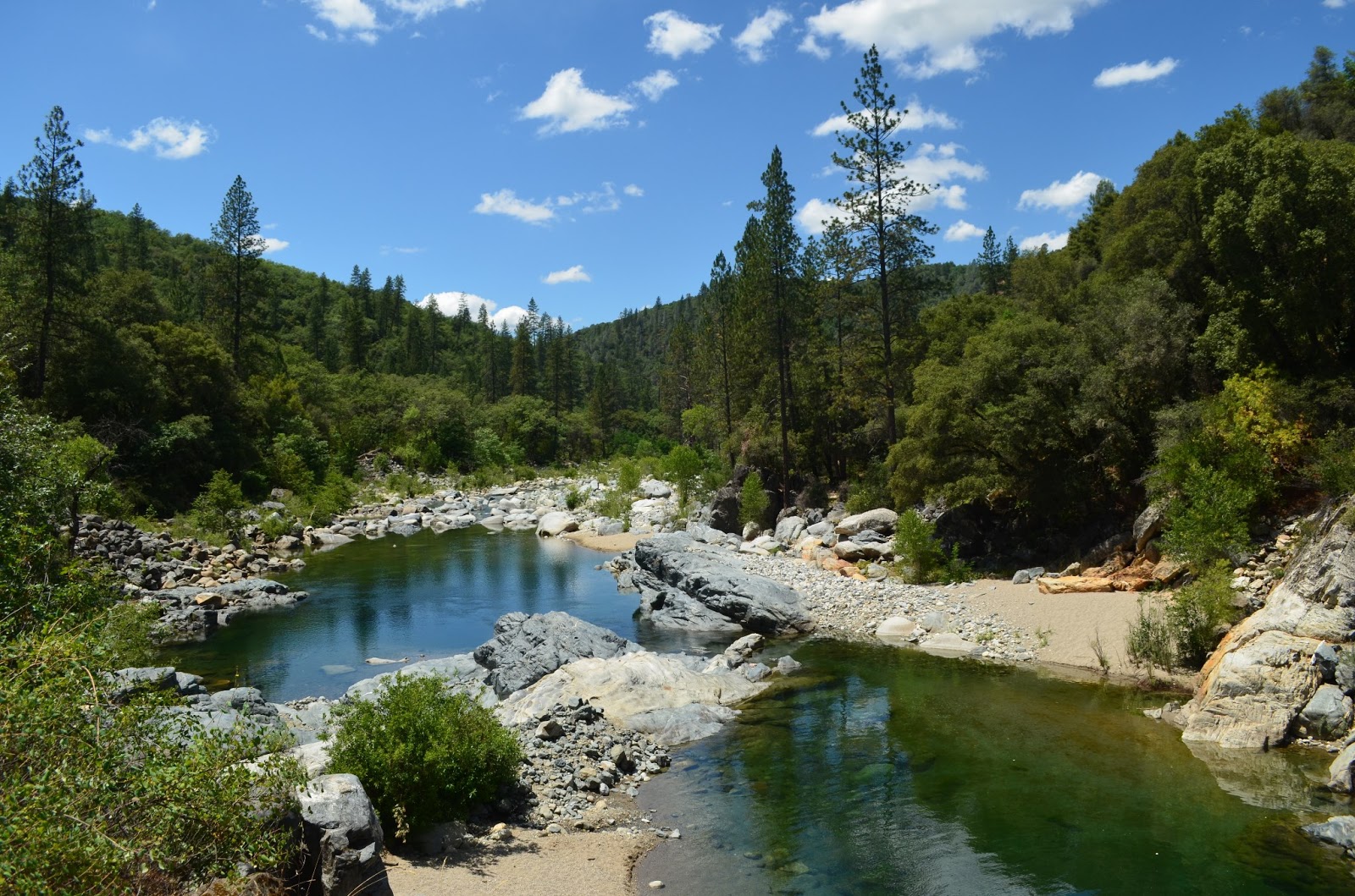
It forks so take the left option and you will find this entrance to two very large and deep, perfect, adjacent swimming holes.  Do be prepared to avoid poison oak!  All of the warnings expected such as: don't dive from rocks, kids need life vests, no glass containers, and so on apply.

There are some sandy areas and lots of giant rocks to sun on.


 If you either skip the spur mentioned or return to the main trail, you are treated to excellent resting places, all accessible.  In days gone by, restrooms were stationed along the trail with wheelchair accessibility, but they are no longer maintained and are boarded up.

Continue along the trail and flumes.  The trail is mostly divided for strollers and wheelchairs on a lower level along the old flume, and the upper more narrow strip is for hikers.  There are rustic benches along the way too, some with distant views and others are places to take time to breathe in the forest and soak in the peace.

Visitors are soon rewarded with this open view of the flume in a horseshoe shape curving around
the canyon wall. The creek is gurgling pleasantly far below. Some people get squeamish here,
so maybe avoid looking down.  It is all in good repair at this time and you can't fall unless you
climb the rails and topple over. To your left will be a wooden flume traversing the canyon wall down
 to the waterfall and creek.

Small benches to rest on and absorb the views and nature are stationed here and there.  At
the bottom you can refresh with a splash or two from the creek.  And by the way, I met hikers
with dogs, all leashed and picked up after.  It was a pleasant outing for all.

I met Georgie there, a well behaved rescue who you can read about here.

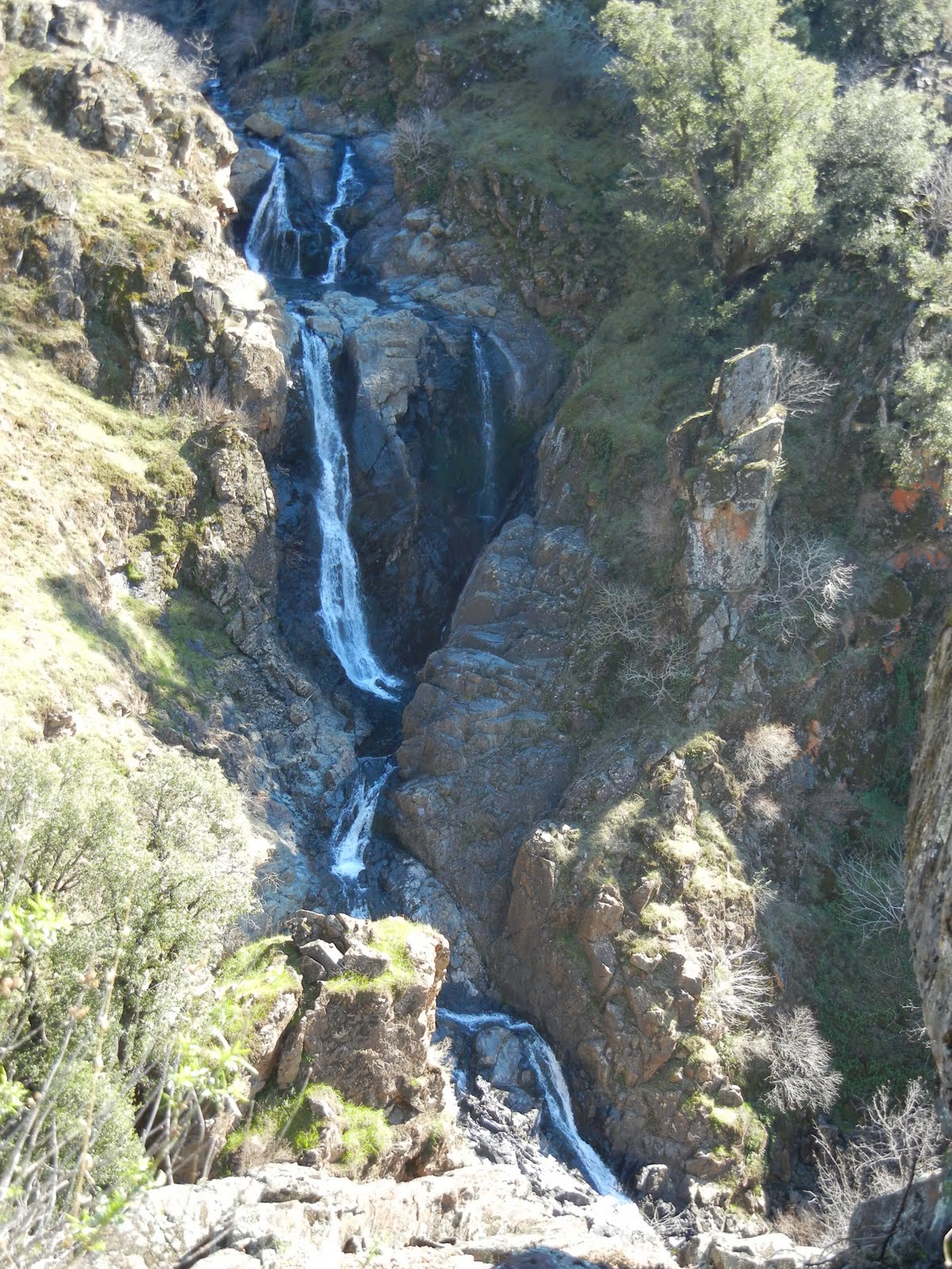
This is part of the Rush Creek Falls that normally drops in a series of cascades,
the longest being a double tier falling 50 feet under the flume bridge overhead.

After a snack, splashes, and rest, I resumed hiking the trail around the bend. 
Often the trees are too tall and thick for views but I took in this gratifying view...

and nearly stepped on....

this wildlife surprise!
I decided to turn back at this point because the trail was less maintained. 

But this lone bright lily stood out!

A small reward for having continued!

This is an out and back trail I highly recommend.

In addition, check out the
Independence Trail Herb Walks
PRE-REGISTRATION REQUIRED: $20 prepaid or $35/both walks, prepaid. $25 at walk if space, but walks limited to 16 people so usually fill. Must pre-register via email, mail or phone; mail payment to secure place. Confirmation and directions 4 days in advance (payment refundable till then). Kids free, but number limited; teens half price. Rain cancels. checks/MO to Kathi Keville at: Oak Valley Herb Farm, PO Box 2482, Nevada City, CA 95959 530-274-3140 www.ahaherb.com HERB WALKS ...a botanical adventure with herbalist and author Kathi Keville.  Her 40+ years of herbal knowledge shines through energetic discussions about their science, lore and edible, medicinal, and other uses, and how to identify, prepare and use them. (You'll receive a plant list.) Trails are short and easy with 40 herbs, and we move slowly! Kathi has been giving walks on these trails for 25 years and they are her favorites! These walks are offered only once a year at peak bloom. Picnic areas if you want to bring lunch for afterwards. Taken from Meetup.com 2014

For more hikes, visit Trails by Locations

HAPPY TRAILS!

Edit: added aprox. driving time from Sacramento 7/6/2015

June 03, 2013

Coloma's Dutch Creek Falls and Johntown Falls


For Johntown and Dutch Creek Waterfalls GPS, maps, and more thorough information, click here.


Upper Dutch Falls on Sept 30, 2012.


The affectionately named "Ancient Lady" southwest of the Upper Dutch Falls 9-2012.


The top of Johntown Falls 9-2012

Take water with you as there is none very appealing to try to purify!
 

Dutch Creek Trail needs serious maintainance work to become safe, and beware of the poison oak you can barely see now.  It is everywhere, but leafless or with little white balls, but bare branches.  It is no less toxic to the allergic. 

In spring, here is what you may have to look forward to if we can get some volunteers to work on the trail:
The photo below is Johntown Falls at Coloma, CA. photographed by this blogger who lead this hiking day with a Meetup.com. hiking club.  The falls were glorious and the hikers equally enjoyable! Weather was warm and mild, the water flow was gorgeous, and the company exquisite!


The next one is a shot of the trail as it enters the woods. Looks pretty docile, huh?


A walk in the park, so to speak.


This is one of our feisty hikers...none too intimidated as the trail
becomes more rugged and less park-like.


These are more of our fantastic group with high spirits for the day, waiting to see what is in store.


     Some took this side trail down to see the Lower Dutch Creek Falls that sometimes forms two separate falls, side by side, that are dropping around, guessing here, 10 feet. At about this time, one of our hikers got hurt, and that makes this a good time to advise good hiking shoes, and for hikers to beware of the short steeper sections of this trail. It is not maintained in any way, and you'll find yourself having to go over or around obstacles like rock outcroppings or tree falls. I might as well mention there is poison oak around here too. At some times of the year it is leafless, so be careful what you grab. Stay on trail and I don't recommend shorts or short sleeves if you are allergic.


When we reached Dutch Creek Falls and Johntown Creek Falls some members took a nice break, while the group I affectionately call the "Bushwhacking Maniacs" climbed higher and closer to the falls and then on up to overlook both falls from as high as we could get.


The trail to the falls is narrow, occasionally steep, but good solid tread, and do-able.  For people thrown off by viewing a steep hillside from a narrow path, this might just be too scary.


These are Bushwhackers getting closer to the falls.


Following a few minutes photographing and enjoying the falls' spray, we headed UP through loose rock, through dry weeds and stickers, over boulders, to the top!

Look, no hands!  Another hint.  Watch and listen for rattlesnakes.


This is the top of Johntown Creek Falls; the first photograph on this entry is the same falls.


From the top, we had excellent views of the entire Dutch Creek Falls.
It was worth every sticker I brought home!


Here is the view downstream of both falls. Can you find all the poison oak? 
Again, take precautions because it IS there!


Here are your blog writer and photographer with a fellow bushwhacker who wore, note, motorcycle pants on this adventure!
Some photos included courtesy of our hiking club members.
This was a most excellent day!

Directions:

  • Go to Coloma on CA 49 between I-80 and Highway 50; pay for parking at the parking lot kiosk.  
  • Walk over the one lane bridge. (You can't miss it as the town is VERY small.) 
  • Turn right on Bayne and follow the paved road to the locked green gate on the left across from the house downhill by the river. It is also identifiable by small signs like rattlesnake warnings, says "State Park", and is a regular locked forestry green gate you climb over or through.
  • The trail is single file, but visible. 
It leads through the grassy meadow, into the trees, and then has some steep ups and downs, but they are short. There is some brush, a couple of tree falls you have to climb over, under, or around.  The trail is hard wet soil mostly.  Hiking pole(s) are handy balancing tools. If I can give any advice, it is wear GOOD hiking shoes. Follow the trail to the falls! Have an adventurous and happy day!
Latitude: 38-47'57'' N

Longitude: 120-52'54'' W
Thank you for checking in! There is another review of this hike on this blog dated April of 2010, and has some other information, and beautiful photos showing the differences you can come across.

Peachy Hiker's Table of Contents   Dutch Creek Trail in June 2013
updated 6-2013 with photos and cautions!