Trails in Northern California

Trails in Northern California

Leave No Trace!

Visit desovw.org for more information about Desolation Wilderness. Visit Recreation.gov or call 1- 877-444-6777 to make park reservations. Visit Campfire Permits to get a permit online. More about Leave No Trace principles.
Showing posts with label kid friendly. Show all posts

July 23, 2013

Sugar Pine Reservoir: Hikes, Fishing, Boating, Camping, Swimming...

Beautiful views, an easy drive, forested, and at higher elevation for a cooler temperature. Perfect for a family day on the water.  Equestrian trails too.

Located 15 miles northeast of Foresthill.

Perfect.  There are four main recreation areas around the lake, including the boat ramp, campgrounds, a picnic area, and a swimming beach.  There are numerous places to swim and hang out which you can get to by trail or boats, kayaks, and rafts.  I found two rope swings near each other. Most of the facilities are wheelchair accessible.  Boats are limited to ten miles per hour.
One entrance.  The trail beyond this is excellent ~ don't worry!  There are other places to park and get to the lake, too. 

One of the things I enjoyed was how quickly some places along the lakeside have a drop off so I could get submerged at once rather than wade in slowly and painfully! If you prefer the gradual, beach-like spots, they are all around the lake too.

The trail is shady, making your hike more pleasant, then you can choose some sunny spot to hang out if you prefer.  I had few bugs or mosquitos bother me.  At 3500 feet elevation, this makes a great escape from the valley heat!

 For your inner tarzan! 
 Rope swings were popular this weekend.

 Fishing for warm and cold water species is good.  The boat ramp (with a large parking and restroom)is located on the southeast side of the lake.  I parked on the southwest side where there is also ample parking, no restroom, that is located along Sugar Pine Road before it becomes Iowa Hill Road.


 Several campgrounds are walking distance from the lake, as well as day use parking with the advantages of picnic tables and bathrooms.  Manzanita Day Use Area fills up on hot days.  There are also biking and horseback riding trails available, and OHV areas are open in Tahoe National Forest.


 Family and group sized spots were available when I drove through Shirttail Campground on Saturday, but I would always recommend trying for reservations.


 As I left, I made the decision to follow the "primitive road", Iowa Hill Road to Colfax, rather than retrace my longer drive up through Foresthill.  The views were a pleasure, if you don't mind driving along a mountainside with steep canyon walls descending father down than the eye could see along one side!


Before long I entered the fee area (laughably) since behind this sign is a wide turnout without so much as a garbage can!  However, there are some excellent recreation sites and campgrounds in Tahoe National Forest.
   For campgrounds and fees, click here.


 Hairpin turns on this "primitive" route too.  As you can see, the term means narrower, and curvy, but not dirt or for four wheelers.  The pavement was well maintained.


 As you reach the North Fork of the American River, there are day use spaces (fees apply) and a campground available near the river.  Not far back up the hill from here is the parking for another favorite hike called Windy Point Trail.


On my way to town, I couldn't resist stopping in a non-fee area to pick blackberries.  They are delights, each and every one!  More flavorful than any you find in stores or fruit stands!

Activities
  • BIKING BIKING
  • BOATING BOATING
  • CAMPING CAMPING
  • FISHING FISHING
  • HIKING HIKING
  • HORSEBACK RIDING HORSEBACK RIDING
  • PICNICKING PICNICKING
  • WATER SPORTS WATER SPORTS
  • WILDLIFE VIEWING WILDLIFE VIEWING
Almost everything here fits into "Easy" ratings, although the day use beach and near the boat ramp are best with small children.
To find your way, a map is provided here.

 Happy Trails!  See Trails By Locations for more ideas!


September 03, 2012

Kid Friendly Trail near Donner: Wheelchair and Stroller Welcome

 Waterfalls, meadows, wildflowers, and a shady hike.

Sierra Discovery Trail 

updated October 2012 for winter conditions, but other material is still posted below..

Families can enjoy taking small children,

even using a dirt friendly stroller!

Wheelchair accessible,

 (maybe with a little help through the winding dirt section).
Near Truckee, in Tahoe National Forest, close to Interstate 80, off of Highway 20 toward Nevada City.
 
SNOW!!!

You can see this little gem by crossing the small bridge
beside the Sierra Discovery Picnic Area. Taken October 2012. 

The parking lot was covered in snow and the trail unmarked at this time. 
A forestry road and a small turnout that takes off to the left of Bowman on your way in. 
It was also a pleasant stop with all of the autumn colors and
enough snow to play in without having to go too far off of the highway.

Farther down the road, in an attempt to get some photos of the South Yuba River, I had to turn back.  It was one lane scattered with snow.  Trucks passed me by, for hunting I assume.  Notably, it is bear and deer hunting season.  But if you are on a drive and need to get out with the kids, even play in the snow, Sierra Discovery was a nice stop.

In regular hiking season conditions:

The Sierra Discovery Trail is well marked with signs
and a large parking on Bowman Road
1/2 mile off of Highway 20. Directions and details below.

This 12 foot waterfall on Bear River

has a large viewing platform with benches for seating. 
This photo was taken late in a dry year,
but  water releases can effect the flow. A better year of rain or
earlier in the season would be best times to go.


At the start of the trail is a

large gazebo with informational posters about

the area, vegetation, wildlife, geology, and history

of the trail including how it was built.

Wheelchair accessible

bathrooms at the trail head. 


This is one of several sitting areas along the way

that is shady and inviting!  Kids will love the waterfall view!


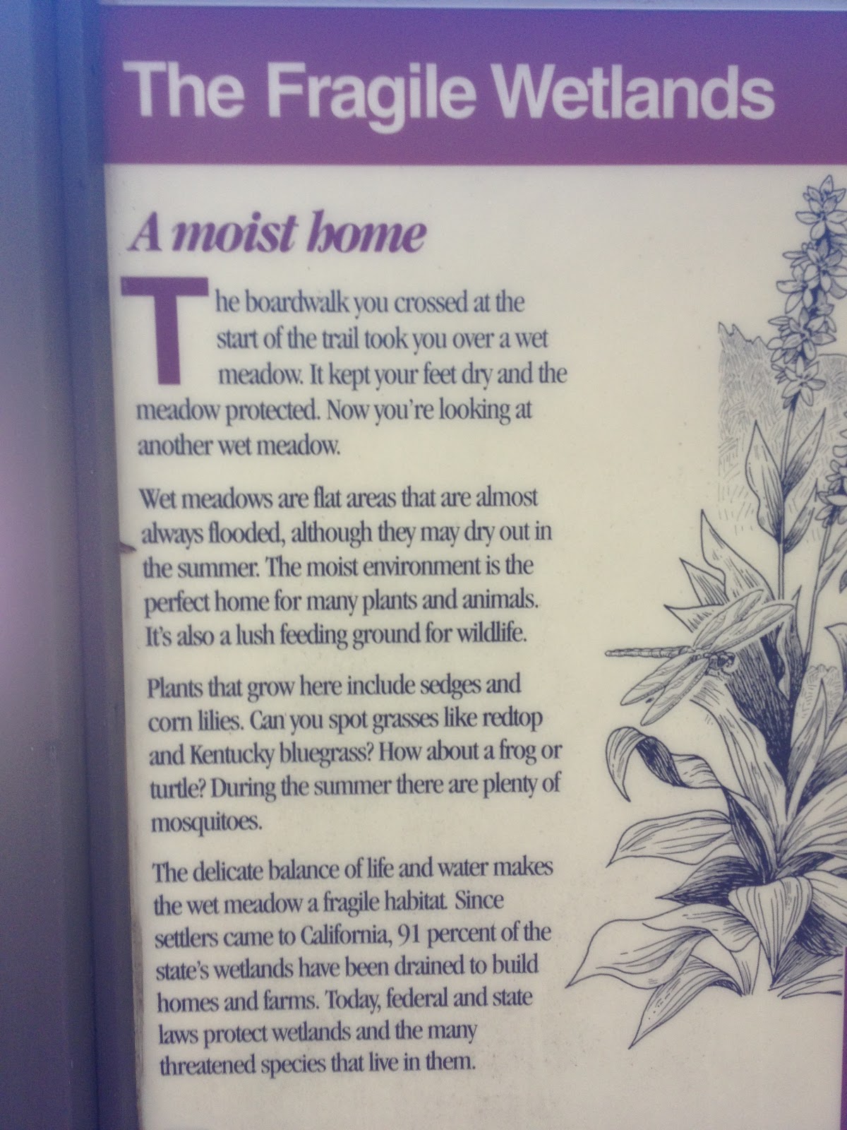
 After crossing a boardwalk through a large meadow,
the trail comes to the river and this wonderful bridge leads to the loop. 

Kids will love it! 

Either direction takes you along the same loop, although the sign says to the right is easier.
Even in August, wildflowers can be found alongside the trail.
Throughout the trail there are informative signs and wonderful views. 
 
 
The instructional signs along the way give insight into the various aspects of these
ecosystems, and can provide teaching moments with the kids.
 

Pondersoa Pines
 
Near the parking and the restrooms is a large picnic area near the "river"
and is situated in an excellent shady area.
 
Distance and Difficulty:  .7 miles of easy trail
Driving Directions: 
  • Take Highway 80. (East from the Sacramento area).

  • Exit at 161 (to Nevada City via Highway 20)

  • Head West on Highway 20, 4.3 miles (pass Lake Spaulding)  to Bowman Lake Road.  Turn right.

  • The parking for the Sierra Discovery Trail is .5 mile up Bowman Lake Road on your left.  If you reach the bridge over South Yuba River, you have gone too far.

For more information: PG and E Recreation Area, (916) 386-5164
and the book:
California Waterfalls  by Ann Marie Brown

*** Pioneer Trail is closeby. Although not for strollers and wheelchairs, kids would enjoy it.

If you continue up Bowman Road, again, before you cross the South Yuba,

there is a dirt turnout on your left with a trail marker at 39°21’57.97″N,

120°21’57.21″W for Pioneer Trail.   

You can park there and hike through a thickly wooded moist area with water runoff creeks and even in summer is cool.  Head northeast on an easy to see single file trail. It will take you out to the bridge.  You may even find some ripe blackberries to snack on. If you choose to keep hiking cross the road, cross the bridge and at the northeastern end of parking you will find another trail marker heading into the woods again and uphill.  I will post on Pioneer Trail soon, but just in case you visit Sierra Discovery Trail and want a little more, this can get you started.

Other articles you may be interested in:


 Happy Trails and thanks for stopping by!             
 11-2012