Our goal was to hike around Carr, Feeley, and maybe Island and Penner Lakes along the Crooked Lakes Trail in the Grouse Ridge Area, toward Bowman Lake. We took 80E from Sacramento area, and got over to 20 then followed the signs to Bowman, Carr and Freeley Lakes. The last road to the lakes is dirt and recommended for high centered vehicles although you might be able to maneuver around potholes and bumps, it would be a gamble.
Along the way we crossed South Yuba and it was roaring with swifter runoff than I have ever seen!
 As it turned out, we hiked 5.85 miles, round trip, ascending from 5842 to 6703 feet at the backpackers campground, largely on snow! We actually ascended and descended more than 1500 feet according to our GPS route.
The dirt road in was blocked with snow so we, along with others, parked alongside the road and began hiking up it.
 Naturally the higher we got, the deeper and more consistent the snow. Dog, cougar, deer, and bear tracks dotted the snow, some deep and fresh like our own, but no animal contact. Water rushed out from under the fringes of the snow banks and made the snow unstable and potentially unsafe.
 Some other hikers had their snowshoes, but we were able to hike in our regular hiking shoes. The snow was just soft enough for our feet to sink in most of the time without slipping, or having the snow fill our shoes! Our hiking poles came in handy for stabilizing our steps.
Good sense would indicate waterproof shoes and extra hiking socks, along with some layers for warmth. Unexpected weather changes are not uncommon! The weather was short-sleeve-warm and sunny, but I should mention that SAR recommends wearing long sleeves and long pants because falls can cause road rash like burns. They also recommend carrying an ice ax to capture yourself in the event you do break through the snow. The ground warmth melts the snow underneath and creates pockets of water and air you can't see to navigate around.

These are photos of Carr Lake: The first shows the lake covered in snow at the bottom of the "hill" in the background.

 There was a thick layer of snow, submerged and yet interestingly visible around the edges. From the opposite side of the lake a wind was blowing towards us, pushing the snow across the lake and chilling our bones!


The photograph below was of the gate to the parking area (used when the snow melts)! It wasn't an "illusion" shot; the snow thickly covered the rest of the gate!


Any snow precipice could have crumbled down at any time.

Another view of the lake through the budding willows that had provided us camouflage for our golden tent last fall.

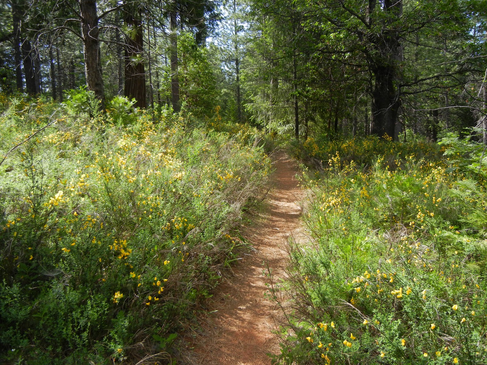
Check out Google Earth for the Grouse Ridge Area and plan some hiking and backpacking once the snow melts and it becomes accessible. There is another blog entry here from our "Survivor" camp up there with photos of what you can expect to see after snow melt. (In fact, the photo used as my standard headline photo was taken in that area!) The trail we primarily used was "Crooked Lakes Trail". It is fairly well marked and by following it you can get fabulous views of distant ridges, and local finds including a variety of plant life, many small lakes and suitable swimming holes, not to mention fishing, and if you are so inclined, there is a hunting season for game as well.
Peachy Hiker's Table of Contents
Happy Trails!
Along the way we crossed South Yuba and it was roaring with swifter runoff than I have ever seen!

The dirt road in was blocked with snow so we, along with others, parked alongside the road and began hiking up it.


Good sense would indicate waterproof shoes and extra hiking socks, along with some layers for warmth. Unexpected weather changes are not uncommon! The weather was short-sleeve-warm and sunny, but I should mention that SAR recommends wearing long sleeves and long pants because falls can cause road rash like burns. They also recommend carrying an ice ax to capture yourself in the event you do break through the snow. The ground warmth melts the snow underneath and creates pockets of water and air you can't see to navigate around.

Another recommendation is to avoid going too near trees and plants when traveling over snow because the roots create warmth that melts the snow near the ground and that you can fall through.
Once at the backpackers campground overlooking Carr Lake it was apparent we couldn't get further safely due to snow melt. We hung around taking photos of the snow and even a few wildflowers! The snow trek was similar to hiking in sand, and the final stretch to the lake was steeper and more work.These are photos of Carr Lake: The first shows the lake covered in snow at the bottom of the "hill" in the background.


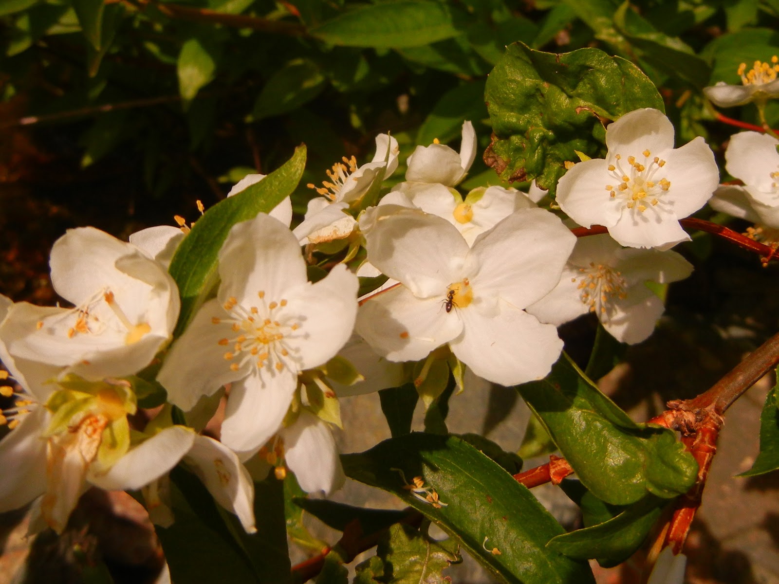
We found wildflowers blooming even in this unexpected place.

The photograph below was of the gate to the parking area (used when the snow melts)! It wasn't an "illusion" shot; the snow thickly covered the rest of the gate!


Any snow precipice could have crumbled down at any time.

Another view of the lake through the budding willows that had provided us camouflage for our golden tent last fall.
 |
| The lake was stunningly bright and beautiful! |

I am reminded of my goosebumps simply reviewing our photos!
As we hiked lower in elevation, in the afternoon heat, the more mud and water we hiked through. Snow was melting fast! Overall it was a fun hike, but for us, a long drive to be able to see only one of the numerous lakes in the area.
Check out Google Earth for the Grouse Ridge Area and plan some hiking and backpacking once the snow melts and it becomes accessible. There is another blog entry here from our "Survivor" camp up there with photos of what you can expect to see after snow melt. (In fact, the photo used as my standard headline photo was taken in that area!) The trail we primarily used was "Crooked Lakes Trail". It is fairly well marked and by following it you can get fabulous views of distant ridges, and local finds including a variety of plant life, many small lakes and suitable swimming holes, not to mention fishing, and if you are so inclined, there is a hunting season for game as well.
Peachy Hiker's Table of Contents
Happy Trails!