Mysterious Bald Mountain in a Snowstorm
This is up a little further but shows winter is settling in and my trip to Bald Mountain Nov, 12th, 2012 had sections of forest roads covered in snow. I would recommend checking with the local Foresty Station for conditions. Office information below the map.)
 |
| That wasn't fog, but snow that turned into a white out! I can't wait to return! |
Park at the Balderson Equestrian Staging Area (before Balderson Road) off of Wentworth Springs Road, about 5+ miles out of Georgetown. My GPS read 38.93142105,-120.75691709.
There is really only room for one vehicle with a horse trailer to park near two picnic tables in the shade. I parked closer to the actual trailhead. I started hiking at the sign for the Dru Barner Trail.
***During the snow season this area warns drivers to have snow tires or not enter the area. Snow plows may not come by!
Below are photos and hiking notes made during the regular "hiking season".
 |
| This is the trail head I used in June of 2011. |
 |
| Another view of the same trail head. |
 |
A short distance away you'll cross this ditch. Note that I found no potable water
or porta potty so go prepared. |
 |
| Continue hiking this way and you will see the sign below. |
 |
At this point I took the turn to the right. Having never explored these trails,
I opted to go with the GPS suggested trail. |
 |
| Of course part of the fun was finding the wild blooms and photo moments! There trail has a random mix of sun and shade making it a nice hike in sunny weather. You don't get to hike along a stream though so carry water. |
 |
Next you'll come to this junction and I went to the left, only because
the trail tracks I loaded from Wikiloc took that route. |
 |
| Most of the views were very local woodsy trail views but here the trail broke into this wide open distant view and a bit of sunshine! |
 |
| This was quite a find because the color red and the bug were not visible to my naked eye! The flowers are small and I used a macro setting to photograph it. What a nice bonus when I got it home and viewed it! |
 |
| The trail meandered through the woods and areas of tall manzanita, easy on the feet and ankles. |
 |
| This sign was on the right and the one below on the left! |
 |
| At this junction I decided to stay on Little Silver Loop, which meant continuing straight ahead. |
 |
| What a cooperative and colorful find! |
 |
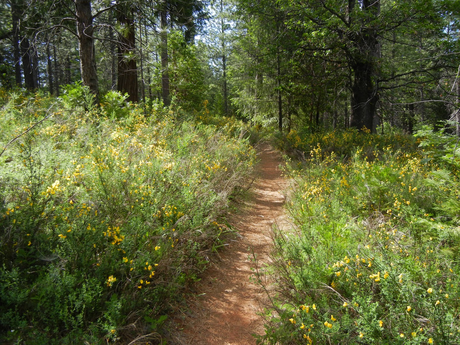
| This was a bit of trail returning to the car, AKA, "the Holy Grail". |
 |
This old cattle loading corral is weathered and reminiscent of the good ole' days. It sits right near the picnic tables and the trail head. Overall I hiked 6.11 miles and my total elevation climb totaled just over 1000 feet, so then about as much down as well. But it was all gradual, easy slopes up and downward. Parking was free. Lots of options as you can see, so it could be shorter or longer as you decide!
GPS tracks for this hike.
Georgetown Ranger District Patricia Trimble, District Ranger
7600 Wentworth Springs Road
Georgetown, CA 95634
530-333-4312
TTY 530-333-5511
Summer Schedule: Open 7 days a week until November 17
Winter Schedule: Open Monday - Friday
8:00 am - 4:30 pm
Updated 11-2012
|


No comments:
Post a Comment
Thank you for your visit to Peachy Hiker's place and for taking the time to share your thoughts!