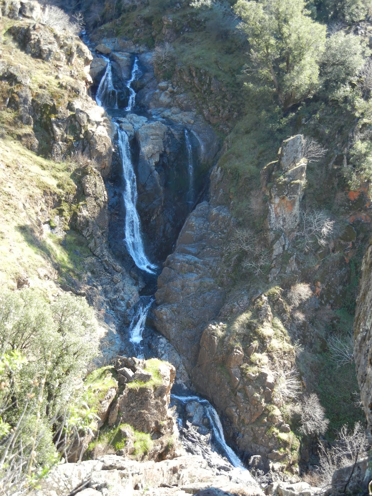
Check road conditions before you go early (May-June) in the hiking season).


Trail data:


Related Posts
Happy Trails! Thanks for dropping by!
 |
Photo of Lake Sylvia on June 13, 2012 |
Lyons Creek Trail conditions updated July 2015 in this post: Lyons and Sylvia Lakes in Desolation Wilderness with current photos.
Lake Sylvia is the reward of this 9.2 mile round trip,
out and back, hike on Lyons Creek Trail.
The trail starts out wide but becomes single file. Some sections are nice firm dirt and some areas are loose rock and tree roots. Most of the climb is fairly steady and slow going in, but once you are close to the lake it is a bit steeper. (The graph at the bottom of this page will show you what to expect.) Remember that it means your reward is imminent!
(June) This day was perfect weather and we picnicked and waded in the lake to refresh ourselves from the hike up. There is less snow already as of June 21, 2012. With the nice days it is quickly melting! The weather is a relief, being degrees cooler than a couple thousand feet lower in elevation. There are nice places to wade and picnic.
As you hike there are three markers to help you know your way. The first is a sign where Bloodsucker Trail meets Lyons Creek Trail. The next is Desolation Wilderness Entry and is a large sign. The last is a post that points to the left for Lyons Lake and ahead for Sylvia. If you get that far don't despair! The trail climbs, but keep in mind that the lake is gorgeous and a welcome reward! You are almost there!

Difficulty: Moderate, due to 9 mile length and elevation.
Elevation Change: 6719-8080 feet
Location: El Dorado National Forest (and partway along the hike you enter the Desolation Wilderness which requires a permit you can obtain and fill out at the parking lot).
- Take Wrights Lake Road north off of Highway 50 at Kyburz.
- Follow the signs to Lyons Creek Trailhead. If you cross Lyons Creek you just passed the good sized parking lot available at the trailhead. No restroom there.
 |
| Lyons Creek in June 2012 |
 |
| In some areas the water is a bit gross, just sitting on the trail, a muddy bug breeding ground. Just this week, June 21, 2012 The water is less of a mess. There are still some fun blankets of snow, though smaller and only the higher elevation ones! None are blocking the trail. The creek crossing is deeper than shoes are tall, so bring extra socks at least, and I try to go from rock to rock across. |
 |
| Generally better conditions than I expected, fairly dry and firm mud to walk on. |


 |
| This is Lily, having a great time playing in the snow! |
 |
| This was the only tree fall between entering Desolation Wilderness and the trail junction. It was easy to go around, so the trail was easy and fun to follow. You hike on mostly a rock bed that will give your knees and ankles a workout! The water on this trail does tend to run all along the trail instead of elsewhere, so good hiking shoes are an advantage. You will need to cross places that are rocky stream beds with water runoff pouring along, but again, I try to use rocks to hop across. None is very deep like knee high! |
Wildflowers abound on this trail!


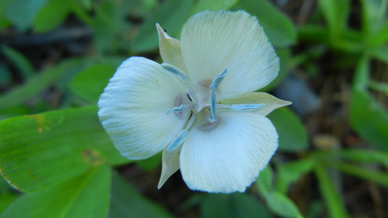
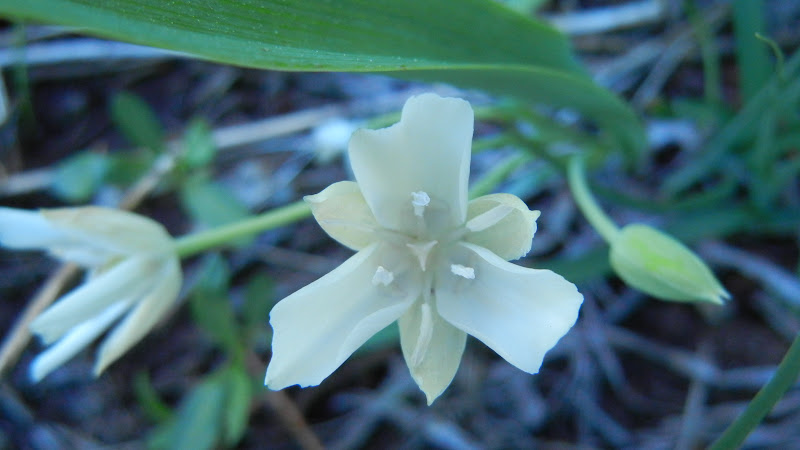


From this junction you can hike up to Lyons Lake or go on to Sylvia Lake. There are creek crossings along the way, so again, good shoes help. The water levels vary. At least bring extra socks!
 |
| We called this a mini-geyser because from a distance it looks like a geyser. |
 |
| The current in these nice resting areas is swift so beware but the water isn't anywhere near as cold as we expected and where it was safe, it was cooling and perfect for wading in! |
 | ||
| This is what is called a widow maker. Best not to hang around these because they come by that nickname honestly...falling and killing or injuring people. |

I highly recommend you bring water and some snacks or lunch. No fires are permitted in the wilderness, and a fire permit is needed even for your small campstoves.
Please Leave No Trace
and enjoy your trip!
Please Leave No Trace
and enjoy your trip!

Desolation Wilderness
| |||
2015-07
|
10+ miles
|
Strenuous
| |
2014-08
|
30 miles
|
Moderate to Strenuous/Difficult
| |
2014-07
|
18 miles
|
Moderate-Difficult
| |
2014-06
|
12+ miles
|
Moderate to Strenuous
| |
2013-06
|
13+ miles
|
Moderate to Strenuous
| |
2012-09
|
Umpa Lake & Enchanted Pools
|
8+ miles
|
Cross country ~ Moderate
|
2012-08
|
Horsetail Falls via Pyramid Creek TH
|
Aprox. 10 miles to lakes at the top of the falls
|
"Difficult, and potentially dangerous" miles
|
2012-07
|
10 miles
|
Moderate
| |
2012-07
|
8 miles
|
Moderate-Strenuous
| |
2012-06
|
Lyons Lake via Lyons Creek Trail
|
10+ miles
|
Strenuous
|
2012-08
|
9.2 miles
|
Moderate
| |
2012-06
|
6+ miles
|
Strenuous
| |
2011-07
|
Lyons Creek Trail with melting snow
|
9+ miles
|
Moderate
|
2011-02
|
3.8 miles
|
Moderate
| |
2010-09 We hiked 12 days.
|
167 total
|
Moderate to Strenuous
| |
Updated links and facts, irrelevant facts deleted. 06-2016
Updated this page July 2015 with a link and removing fee information that has changed.


 Look, no hands! Another hint. Watch and listen for rattlesnakes.