Trails in Northern California

Trails in Northern California

Leave No Trace!

Visit desovw.org for more information about Desolation Wilderness. Visit Recreation.gov or call 1- 877-444-6777 to make park reservations. Visit Campfire Permits to get a permit online. More about Leave No Trace principles.
Showing posts with label family hikes. Show all posts

July 07, 2013

Muir Woods, CA

Trails that wind through the gorgeous old stand of protected redwoods are accessible for wheelchairs and strollers. 

(Use is not for bicycles)
 This is a fantastic day trip, or you can stay in bay area motels
and take in more coastal hikes and parks.
 Photos are allowed but photos or footage for business purposes require a permit.  There are interpretive signs and maps posted with mileage to help visitors choose their trails.
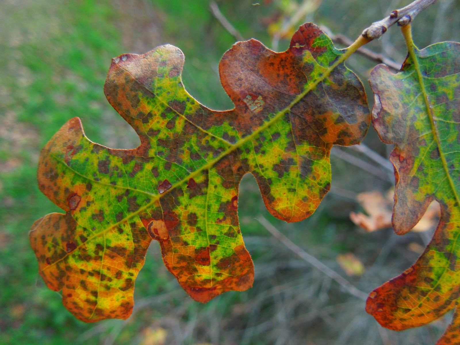
I enjoyed the visit through the Cathedral Woods, where you are asked to pass quietly and take in the sights, sounds and fragrances of this rare place, perhaps use it as a time to reflect and accept rejuvenation.  Wildlife does live there and with so much human activity, this is a chance to observe it with as little human noise and impact as possible.

This trail heads through the woods alongside this pleasant creek.  Due to this area's protected status, get something to keep from the gift shop.  It isn't legal to take anything from the woods here.  So many people come to experience old growth woods that leaving everything but footprints will keep the forest pristine for future visitors and you, too.
 

 There are miles of accessible trails from .5 to 2 miles in length for strollers and wheelchairs.  For hikers there are many more options of more difficult, longer trails.
 
 There is a gift shop with a small concessionaire for lunches, snacks and drinks.  Outdoor seating includes benches and decking.
 
 Gorgeous views of the bay.


 I will add some more photos this week.  I am just anxious to share a possible jaunt for you during the summer months.  The climate is coastal, moderate compared to the valleys, also moister, saltier air.
 
Driving: Many GPS devices will take you to places other than the parking or entry to Muir Woods National Monument, use coordinates:
Latitude: 37 degrees 53.519 minutes (North)
Longitude: 122 degrees 34.253 minutes (West).

November 28, 2012

Miners Ravine Reserve in Rocklin, CA

Miners Ravine Reserve in Rocklin, CA offers two short historical loops. 

     One trail is interpretive and is .5 miles long; both have benches along the way to pause for moments of reflection.  An overgrown brooklet runs through the area shaded by oaks, but where blackberry briars impede hikers from wandering off the designated trails.  The poison oak appears to have been removed, although I would watch for it.  This is also a natural habitat for rattlesnakes.  There is an information board in the parking area that gives the historical significance of the area previously known as Allentown. A map of the trail is shown.


 The trail heading south of the parking is posted.  It is wide and well maintained.


 A real oak leaf, not poison oak.  (I didn't see any poison oak,
but it loves this area, so do watch for it.)
 
 Signs like this are part of the interpretive loop.

 From the north side of the parking lot is a short loop that is well shaded and 
offers recognition in the form of a plaque and a bench.
 
 I was surprised to see this bloom so late and with so much "weather" lately. 
They are quite beautiful and colorful!

 This section is typical of what to expect.  The benches may be damp or wet this time of year (autumn) but are serene places to sit and enjoy the fresh air and wild outdoor setting.


 This is the memorial bench.


There are some blooms and lots of autumn color amidst the thick blanket of berry briars.  Along the creek cattails are tall but few.  You can take your dogs for walks on these trails.

     Large parking is available which is located on the west side of Auburn Folsom Road, north of Douglas Blvd. in Rocklin, CA.

Happy Trails!
 

November 13, 2012

Canyon Creek Falls near Georgetown, CA

Hike along forest roads, going gently downhill to find this 83 foot waterfall!  The kids can do this if they can walk 5 miles round trip. 


     I read about this waterfall on a blog last year but when I searched for more information, even the World Waterfall Data Base didn't show it. My book of California waterfalls didn't list it either.  I have tried before and this hike was another attempt. I headed out without specific information other than where to begin the hike, the name of the creek, and that you follow old logging and forestry roads; no other helpful directions. 


     My victorious hike surprised me a little with snow left on the ground from fairly recent stormy weather, but I had my jacket and gloves, gaiters, waterproof boots, and enthusiasm.  Plus gas is expensive and I wasn't about to turn back now!

    
     Holy Surprises!  I found three mounds of fresh bear scat in a short distance so I talked loudly to the bears while hiking down the muddy and snowy road. The sounds of snapping branches behind my camera-bug pauses kept me alert.


     My day was chilly enough to wear my jacket and gloves, but the sky was blue with floating clouds and the tree tops didn't even hint at the snow carpeting the forest floor!

    
     Down the road, as my elevation declined, the snowy floor dried and the trees thinned.

    
     I heard the rushing sounds and at last I made it to Canyon Creek, giddy with hope that I had time to scout out the creek from here and find the falls.  I had no idea how far or which direction they may be so I headed east, upstream.  It's a beautiful season, but the leaves were thickly blanketing the "trail" and being so wet, were a bit slippery.  The creek was a symphony for me, and I hoped it was a waterfall creating the commotion.

SUCCESS! As you can see from the photo, serendipity and intuition led me there!


     I saw the top first, and with water levels being what they are right now, crossing back and forth trying to find a perfect place to photograph the falls was nothing like the challenge I had expected!  My foot sank a little deep and the boot can only do so much to keep me dry!  There is an active mining claim here and the trail was decent, although buried in wet leaves.


     This is looking back downstream from the waterfall.  There is snow still in this heavily shaded area, and the temperature reflected it.


 The woods are colorful now rather than all green.


     I stopped here for photos and heard breaking branches in the gully behind me so I gave the bears a yell, looked around, took another snapshot, and returned to the car.  I was elated to have found this prize waterfall hike and am happy to share it with you!


Forks in the road are marked with waypoints and arrows or notes.

Directions: 

Clock your mileage from the intersection in Georgetown where you turn onto Wentworth Springs Road (like any old town "Main Street") and go 10.5 miles.  Turn right at the sign for the Bald Mountain Staging Area, but pull in on the right at the first dirt road and find an out of the way place to park.  You will hike down that road.  It is gated and crosses private lumber property for a mile or so.  There are not "No Trespassing" signs, and it is marked with a small company sign. 

I hiked further but the trail above is 4.9 miles out and back, after I took out my other detours. 


Difficulty: Moderate due to elevation and to the creek side trail being almost a bushwhacking. Plus you cross the creek at least once to see the falls, really twice for a nice view.


This is a summary of my hike.  I certainly took my time, stopped to eat and photograph.
This area has OHV areas closed for the winter, but available post snowy season.  There is ample parking for horse trailers too and equestrain traffic is welcome.


I caution you to use your discretion about hiking in across private property.  And above all, please be responsible. 

There are no restrictions about hiking on a mining claim, but don't pan for gold! 

For more trails, click here 

Thanks for stopping by and HAPPY TRAILS!

September 03, 2012

Kid Friendly Trail near Donner: Wheelchair and Stroller Welcome

 Waterfalls, meadows, wildflowers, and a shady hike.

Sierra Discovery Trail 

updated October 2012 for winter conditions, but other material is still posted below..

Families can enjoy taking small children,

even using a dirt friendly stroller!

Wheelchair accessible,

 (maybe with a little help through the winding dirt section).
Near Truckee, in Tahoe National Forest, close to Interstate 80, off of Highway 20 toward Nevada City.
 
SNOW!!!

You can see this little gem by crossing the small bridge
beside the Sierra Discovery Picnic Area. Taken October 2012. 

The parking lot was covered in snow and the trail unmarked at this time. 
A forestry road and a small turnout that takes off to the left of Bowman on your way in. 
It was also a pleasant stop with all of the autumn colors and
enough snow to play in without having to go too far off of the highway.

Farther down the road, in an attempt to get some photos of the South Yuba River, I had to turn back.  It was one lane scattered with snow.  Trucks passed me by, for hunting I assume.  Notably, it is bear and deer hunting season.  But if you are on a drive and need to get out with the kids, even play in the snow, Sierra Discovery was a nice stop.

In regular hiking season conditions:

The Sierra Discovery Trail is well marked with signs
and a large parking on Bowman Road
1/2 mile off of Highway 20. Directions and details below.

This 12 foot waterfall on Bear River

has a large viewing platform with benches for seating. 
This photo was taken late in a dry year,
but  water releases can effect the flow. A better year of rain or
earlier in the season would be best times to go.


At the start of the trail is a

large gazebo with informational posters about

the area, vegetation, wildlife, geology, and history

of the trail including how it was built.

Wheelchair accessible

bathrooms at the trail head. 


This is one of several sitting areas along the way

that is shady and inviting!  Kids will love the waterfall view!


 After crossing a boardwalk through a large meadow,
the trail comes to the river and this wonderful bridge leads to the loop. 

Kids will love it! 

Either direction takes you along the same loop, although the sign says to the right is easier.
Even in August, wildflowers can be found alongside the trail.
Throughout the trail there are informative signs and wonderful views. 
 
 
The instructional signs along the way give insight into the various aspects of these
ecosystems, and can provide teaching moments with the kids.
 

Pondersoa Pines
 
Near the parking and the restrooms is a large picnic area near the "river"
and is situated in an excellent shady area.
 
Distance and Difficulty:  .7 miles of easy trail
Driving Directions: 
  • Take Highway 80. (East from the Sacramento area).

  • Exit at 161 (to Nevada City via Highway 20)

  • Head West on Highway 20, 4.3 miles (pass Lake Spaulding)  to Bowman Lake Road.  Turn right.

  • The parking for the Sierra Discovery Trail is .5 mile up Bowman Lake Road on your left.  If you reach the bridge over South Yuba River, you have gone too far.

For more information: PG and E Recreation Area, (916) 386-5164
and the book:
California Waterfalls  by Ann Marie Brown

*** Pioneer Trail is closeby. Although not for strollers and wheelchairs, kids would enjoy it.

If you continue up Bowman Road, again, before you cross the South Yuba,

there is a dirt turnout on your left with a trail marker at 39°21’57.97″N,

120°21’57.21″W for Pioneer Trail.   

You can park there and hike through a thickly wooded moist area with water runoff creeks and even in summer is cool.  Head northeast on an easy to see single file trail. It will take you out to the bridge.  You may even find some ripe blackberries to snack on. If you choose to keep hiking cross the road, cross the bridge and at the northeastern end of parking you will find another trail marker heading into the woods again and uphill.  I will post on Pioneer Trail soon, but just in case you visit Sierra Discovery Trail and want a little more, this can get you started.

Other articles you may be interested in:


 Happy Trails and thanks for stopping by!             
 11-2012