Trails in Northern California

Trails in Northern California

Leave No Trace!

Visit desovw.org for more information about Desolation Wilderness. Visit Recreation.gov or call 1- 877-444-6777 to make park reservations. Visit Campfire Permits to get a permit online. More about Leave No Trace principles.
Showing posts with label foothills. Show all posts

July 03, 2011

Harvego Bear River Preserve Hike

Hikers being introduced to the ranch.

Working ranches are hosts.

We hiked 5.21 miles through part of the Harvego Bear River Preserve.  I found out about this hiking opportunity through a webpage, and decided to attend.  These are only available at this time by making reservations for docent led hikes.


The Harvego Bear River Preserve consists of  1,773 acres which are a part of the 2,300-acre Bruin Ranch,

located in the woodlands in the Auburn Valley-Bald Rock Mountain area. The ranch is west of Highway 49, past the Auburn Valley Golf Course, and south of the Bear River.


 This was a lucky shot I thought I missed because the dragonfly flew away when I moved.  Surprise for me when I downloaded my photos and there it was!  I think it is a Flame Skimmer.


 These are two fine docents for the Preserve, Andy and Anita, who volunteer to support the future of this project.  Great folks!!!

Poison oak was all over the hills, but avoidable only if you stay right on the trail. This photo provided by Steve V.


 These are hikers on this ranch tour, many from a Meetup group, and some registered on their own.  All were enthusiastic and fun participants.
Woodland the trail meanders through.
Clear-Winged Grasshopper, photo and identification provided by Steve V.


 The Bear River running far below our hike today.


We hiked off trail to the top of Bald Rock Mountain to enjoy the views.  From here, our docent leaders pointed out where the trails are being built and oriented us to other features of the area.  Beyond the golf course, for example, is Hidden Falls, and to the right is Bear River winding through the canyon.

View from the top of Bald Rock Mountain.

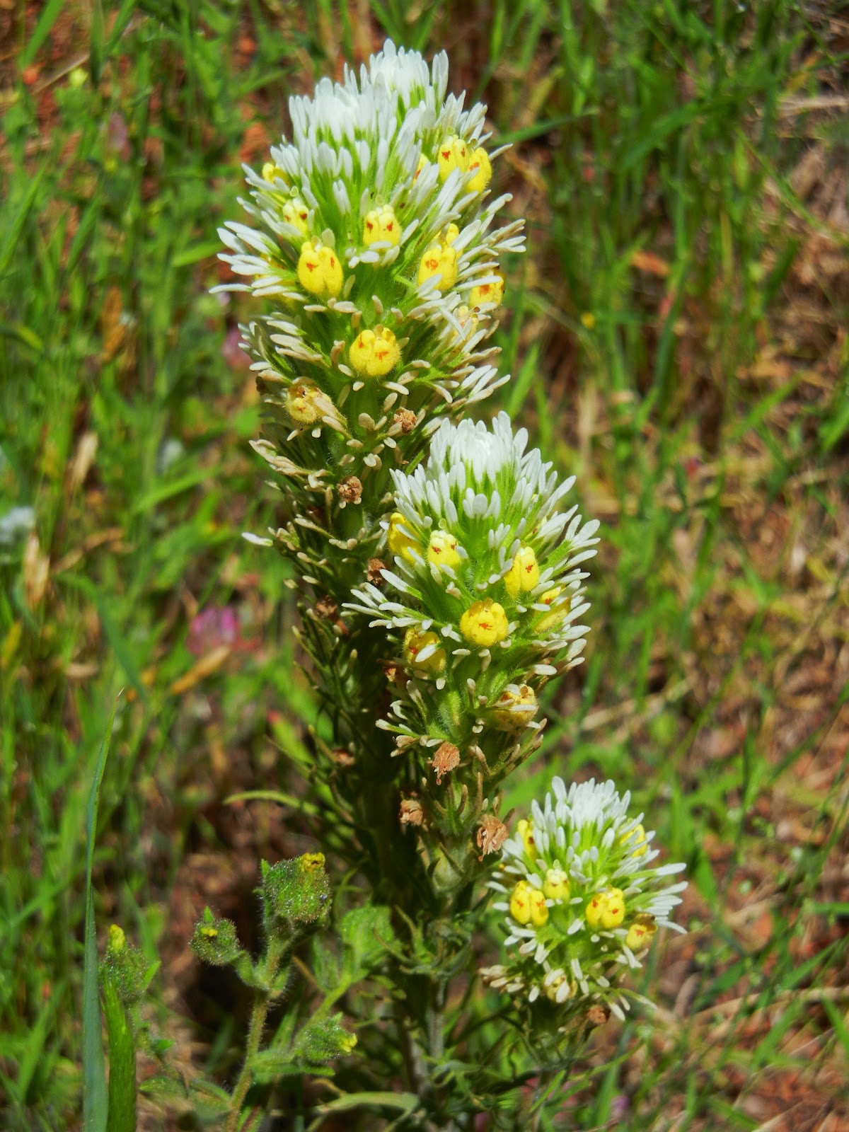
Downy Navarretia


 These were hard to photograph both because they are minute flowers and with a small breeze, it was hard to focus on such small gems.  They are much smaller than the tip of my pinky!
Steve V.  provided scientific names of flora we observed and photographed.

Heading up through the shady trees.
One of the several ponds we passed.
 Here I wanted to get in a boat and lazily float the day away, I had to persevere and hike onward.  The day was hot but not unbearable, and the hiking was moderate in difficulty.  Please check out the website for the preserve and support our public lands too.
Related Articles:
ASRA ~ Auburn State Recreation District
Peachy Hiker's Table of Contents

May 30, 2011

Black Hole of Calcutta Falls Hike

  • Take Highway 80 to Auburn following signs to Highway 49.  The road is curvy just as you leave Auburn, and along the way you will see cars parked in turnouts. 
  • Cross the river at the first bridge, following the sign towards Cool and Coloma. 
  • Just after crossing the river there is a green forestry gate, closed and locked, on your right.  Park in this area, preferable at a 45 degree angle, backed in for easy exit, and leaving room for more cars to park. 
  • The other option is to drive a bit further and on the left is a small paid parking with an outhouse at that trail head, then walk back to the Confluence trail head. 
  • Walk around the gate and as you approach the smaller old quarry bridge, there is a sign pointing to Auburn or to the "Training Hill".  For this hike, go towards Auburn.

Bees were all around the abundant blackberry blooms.
This is one of the many side trails down to the river, not too hard to negotiate.
These are rocky or sandy spots secluded somewhat by rocky outcroppings, and thank goodness, since I am throwing out the knowledge that you go here at your own risk.  It is a reportedly a favorite nude sunbathing area for guys, and they had no respect in general for clothed peoples' sensitivities. I saw many people with youngsters hiking the area, mostly back uphill, and none staying by the river.

These were about the size of a pencil eraser!


This little gem stood alone beside the main trail towards Auburn.

The bright and thorny Milk Thistles were in full bloom!

The view from one of the small trails down to the water.
Another side trail to the water with a very small runoff crossing.


Here was a secluded resting spot where the views were nice, and I spent a while trying fruitlessly to take photos of the birds swooping over the water.
The water flow at Black Hole of Calcutta Falls 
was surprisingly low since we just had the T-storm!
The purple blooming bushes I told you about last time are withering now, but the color intensity you see below is natural with no photo edits made!


Related Articles:

edit spelling 1/5/2018


May 13, 2011

Western States Trail from Confluence to Auburn

DIRECTIONS:Park after you cross the highway 49 bridge (toward Cool) on the West side, preferably backed in at a 45 degree angle for ease in exiting and as a courtesy making room for more cars to park. (Other parking areas are fee based.) The trail head is right there after crossing the bridge, the traditional green forestry gate, 150.
TOTAL MILES: 1+   Hike up the small hill and you'll come to a junction to either head toward the Training Hill and Cool, or toward Auburn, crossing the old quarry bridge. For this hike, cross the bridge and take in the canyon views.
It's a nice hike in part due to the spaces alternating between long open sunny views and shady areas,
like this one, to cool down! This was one of several very small creek crossings.
Another virtue of this hike for me is the rolling ups and downs, making it more interesting terrain, but easy enough for folks transferring their city walks into woodsy hikes. 
These are built in "stairs" that make downhill footing easier.
Opening up to the canyon, there are some excellent wide spots, great for resting areas, and getting photos of the river and canyon, not to mention wildflowers, and when you're lucky, wildlife!
An especially comfortable place to enjoy the shade, peace, and avoiding ants in your pants!
I found mounds of these blooms (hip height bushes) with bees buzzing all over the place, but couldn't get a focused shot of bees to save myself. I quit after numerous tries, but still, the blooms are colorful and fanciful.
An uphill side trail. The lavender blooming bushes are to the right.
An interesting outcropping.
The well known Foresthill bridge and the Quarry Bridge on the way back to the car.
Gorgeous blooms hanging alongside the trail on tall bushes.
Crossing the bridge on the way back to the traditional "Holy Grail"...the car!

My final pleasure on the hike was capturing photos of this butterfly snacking.
Hike as far as you choose or as little.  Take water and sunscreen, sunglasses, and start early on warm days.

or
Related Articles:
ASRA ~ Auburn State Recreation District

Happy Trails!


April 04, 2010

Quarry Trail, Browns Bar, WST

My hiking companion and I had plans for a hike, our first in two weeks, but we were undecided about our trail for the day. Having gotten a late start, we headed up to the familiar foothills Confluence area. To avoid paying the $10 parking fee at the Quarry Trailhead, we parked along Highway 49 near the bridge and with our backpacks full (for conditioning value) we headed out on the Quarry Trail. The website below has historical information, a trail map (that does not show many of the trail offshoots), and exact driving directions. http://members.psyber.com/asra/tgquar.pdf


We had a hard time feeling motivated, between our lack of recent hiking, my friend's new backpack break-in period, and the weather looking potentially formidable. The first part of the hike is a very wide trail that leads parallel to the river on your left, and along the way are several tables and a couple of bathrooms. We passed those areas and stopped by the mine that is blocked with a very heavy locked iron gate, but you can see quite a ways into it.


Using your flash you can get an interesting photo. Unfortunately, the outer cement bridge remains are covered in vandalism spray paint, taking away from the historical feel of the old mining site.
Hiking on, we crossed two creeks and came to Brown's Bar Trail at the 3.5 miles point. This trail is only .8 miles long but provides difficult footing at times, and heads upward to connect to the Western States Trail. The elevation range is recorded as 1320'-680'. It was steep, rocky, deeply rutted from weather drainage, and muddy from recent weather. It ran alongside a creek (or sometimes the trail WAS a creek) and the area was green, shady and lush. Our mission was to follow the WST back to the PG&E trail that would lead us back down to the Quarry Trail and then back to the car.

 
Finally we peaked at the WST junction. It has been a goal of mine to see this section of the WST, and it was very pretty this time of year. The problem was that it is not very clearly marked as to which of the several intersecting trails we should take to get back to the Quarry Trail instead of going to Cool.We used our senses of direction and chose the path to our right which took us through neighborhoods, crossing the unmarked street. The trail did not go straight across though, so there was a mini-search for the connections. The only markers were metal poles with horseshoes welded to the tops and two horseshoes painted on the pavement. There were large, slippery muddy trail sections and numerous creeks to cross.
Poison Oak was plentiful and unavoidable!!!

We were getting tired, and the uncertainty along with our late start made it more stressful. In the worst case scenario we had everything we needed. We finally broke out to a view of the burned hills across the canyon that runs along the river, so we were sure we were still on the right track. The trail headed downhill with a more gentle slope back towards the canyon, which we gladly followed. It was pretty amusing to come across a family of four who asked us for directions and we were glad to be able to confirm they were going the right way back to their neighborhood. The "mom" looked every bit as stressed as we had been just minutes ago! They were all obviously relieved, just as we had been!


My hiking companion estimated we had hiked about 10 miles, but we had forgotten the GPS in the truck.
I would do the hike again, but enjoy it more with drier ground. My curiosity is roused about the trails that came off of WST, and I would like a map that shows those options. It would also be nicer to have the GPS along to provide distances and elevation changes of the whole hike. It took us about 5 hours without a lunch stop.
And of course, I always will welcome input from any of you who know more!

"Spring is when you feel like whistling, even with a shoe full of slush."
Doug Larson