Trails in Northern California

Trails in Northern California

Leave No Trace!

Visit desovw.org for more information about Desolation Wilderness. Visit Recreation.gov or call 1- 877-444-6777 to make park reservations. Visit Campfire Permits to get a permit online. More about Leave No Trace principles.

June 02, 2016

Rock Creek Falls and One Eye Creek Trail 2016

Rock Creek Falls is reported to be 100 feet across at times
Rock Creek Falls in May 2016

MILES: 6-7 miles
DIFFICULTY:  Moderate
ADVISORIES:  Poison Oak is everywhere!  The trail is steep, sometimes wet and slippery.

This marks the place you will either park or turn right and park at a junction of three roads.
 DIRECTIONS: 


1.      Take Highway 193 from Highway 49 toward Georgetown, California.

2.      If you are coming from Highway 50, turn right on Traverse Creek Road, or from Highway 80, turn left on Traverse Creek Road.

3.      Take Bear Creek Road to the right and pass Bear Creek Picnic area on the right (although this is a good place to stop and use restrooms since there aren't any at the trailhead).

4.      Continue for 0.7 miles to Forest Service Road 12N81 on the right, visible due to park signs posted.

5.      In winter park in the wide area on your left, and walk straight down the Forest Service Road until you come to the junction of three roads. In months the road is open you can drive back and park along here.

6.      Walk straight ahead and you will see a small post on your slight right at the One Eye Creek trailhead. Follow this trail all the way to the falls.

 At the beginning of the trail, there was scrub brush on either side, but the trail itself was clear and wouldn't be confused with animal trails. At one point it opened out into a small sunny meadow, but most of the area had manzanita and other brush.

Early on One Eye Creek Trail, these stickery bushes and vines had grown over the trail and caught on our backs and backpacks which made them a nuisance. The terrain is hilly and not too steep for any length of time until you descend to the creek and waterfalls. There was less poison oak in that area, except where the sun had more access to the trail. In May wildflowers were blooming.

A nice shady section is a tunnel.
And next is the most wild of all, the seeming meadow that when you look closely, you discover it is mostly poison oak!

About a mile into the trail you come to the "mine" shown below which is actually only a few feet deep, but a trail hazard that is fenced in with a small trail down the hill for hikers to see in.

The rolling trail finally opened up into this beautiful, cooler forest area that goes until you traverse downward to the creek.  Keep in mind it is deceiving because you are heading downward and on your return you will be heading upward, though slightly, you feel it.
.
After hiking all the way in, we had to bushwhack a little, but this time wasn't too bad.

 Going in we hiked the steady downhill and fairly easy trail. From about a mile away from the creek, we began to hear the waterfalls! As we made our way closer, the trail got steeper, and the pine needles were thickly layered and are sometimes slippery. Hiking poles and good shoes helped me navigate this section more safely.


 This section of trail could be dangerous due to steep slippery hills.  It makes having inexperienced hikers, inadequate equipment, or having children present inadvisable.  Lat/Long:38.82396, -120.759

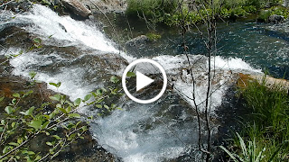
It has been reported that the falls have been as much as 100 feet wide in flood stage. Here, there was a powerful current and as you can see, a large stretch of the 100 feet was, in fact, covered. The falls have also been estimated to be only a 25 foot drop, but with the current rushing almost violently, they were quite impressive!  To get to the bottom you had to creek cross and then climb down.  Others were there so we stayed up top beside the creek.

Our picnic spot along Bear Creek.
On our way out, we had to travel upward, and it felt steep and challenging in the wet, and especially with the weight of a backpack. Hiking poles really helped me there, too!


 Another alert: If you sat anywhere along the trail, it was on the damp ground with pine needles or poison oak! We also noted ticks, so check yourselves when you get out and wash all of your gear.

For fun here are some photos of wildflowers that were blooming:


This was a very worthwhile hike! On this trail, I have never met other hikers until this trip, when only two guys passed us, suggesting it gets little traffic, but the trail was in overall adequate condition. The views were memorable, and the trail was well marked. It isn't for the casual city hiker, due to the length and the difficulty near the falls. The elevation changes also required fitness, and being accustomed to ups and downs. Take some food, wear good hiking shoes with deep tread, and maybe take something dry to sit on in case it’s wet. Again, my hiking poles were helpful, especially on the climb out of the creek canyon. I wouldn't advise taking kids due to length, safety and difficulty level, until you have done the hike yourself and can make your own judgment about their abilities. Don't forget the camera!

The closest hikes you may also be interested in:
2010-06
3 miles
Difficult
2014-06
Stifle Claim Trail (Traverse Botanical Special Interest Area)
0+ miles
Easy +
2010-04
7 miles with closed road, 6 when it is opened
Moderate

or see the Table of Contents.

February 11, 2016

Training Hill, Auburn, CA Feb. 2016

For a trail to get your cardiac workout on, and for now, a view of the snow-capped Sierras, this is your best hike in the Sacramento and surrounding area.

This sign is at the bottom of the Training Hill, but it isn't too late to take the easy trail to the left.  (WST is Western States Trail, also known as Wendell T Robie.)

Distance:  The Training Hill is 2.4 miles out and back from the trailhead.  You can extend this hike to much more using other options including the Olmstead Loop and Western States Trail.  Check Wikiloc or EveryTrail for GPS tracks.
Difficulty:  This one is short, but unless you are already fit, it is a hard one.  The trail is a rocky, washed out, mess.  Really fun for hiking-fitness enthusiasts!  This honestly is the best possible training hike near the valley. ASRA reports the grade at 16%-30% in 1.2 miles. You will LOVE the 16% breaks!
Advisories:

  • Poison oak in this area.  
  • Steep and has poor footing.  Take care to evaluate what you and your group are up to.  
  • Horses are allowed on these trails.  Please defer to them if you meet them along your way.  
  • Bears and cougars have been seen in the area in the past.  Keep your eyes open.  Keep your dog with you for safety.

Driving Directions: From I-80 take the exit marked CA-49S (toward Placerville) and 193E (toward Georgetown).  You will turn left at the signal just off the freeway onto Elm and at the next signal you will turn left again.  Follow the signs to CA49 and 193.  When you see the river, watch for the split where you can go straight ahead or across the river.  When you cross it, park along the right hand side (for free, while all other nearby parking has fees).  Park a bit diagonally as a courtesy to fit as many cars as possible along that stretch and to make it easier for everyone to get out back onto the road.
If you are coming from CA-50, you can use CA-49N, following signs to Auburn and Cool.  The road will have hairpin turns shortly before you reach the parking mentioned above, just before crossing the river.  (You can GPS from your location to Cool, then continue on 49 to this parking).
The "No Hands" Bridge, or "Railroad Quarry" Bridge
To Hike:  Go through green gate 150 near the parking along the highway, next to the river.  Head toward the Quarry Bridge, a beautiful historic bridge with classic arches. Look down into the river you see old mining remnants.
This shot was taken standing on the Quarry Bridge looking back to the CA-49 bridge.
 Just before the No Hands Bridge there is a narrow trail heading off to the left which has a sign marking mileage for Cool or Auburn, which points you toward the Training Hill and WST (Western States Trail, also referred to on some maps and signs as the Wendell T Robie Trail.)  The trail doubles back toward the road and through the trees and you can see the bridge and river.
This part of the trail is easy with some ups and downs.
 Arriving at the fork of the WST and the Training Hill, there is a sign you can't miss. You can get an idea of the difficulty, keeping in mind the trail rises sharply, but does have level sections.
WST is to the left and the Training Hill to the right. It is grueling going up until you are in great condition, and going down is....grueling.  If you see the Training Hill and get intimidated, you can hike up the WST.  It is beautiful and fairly easy.
Brace yourselves!
Some sections are wet, slippery at this time (February), with wet pine needles adding to slick footing.  There is significant water damage to the trail that helps me with footing.
The photos do not capture the steepness of the hill~just sayin'.  Be prepared.
This is a wonderful spot and in person the view is 
refreshing as you hike the mile upward.
A lot of the trail has stickers and shrubs beside it but there are 
some openings and small meadow areas to rest in.
Like I said, the camera can't capture what the eye can.  You can enjoy Sierra snow caps from this large meadow to the left of the trail near the top.
The fact that it was wet and slippery in some sections made me take small steps and traverse to avoid falling. This is hard on knees too so if you have even an older knee injury, at least bring a brace just in case.  Hiking poles help avoid slips too.
Olmstead Loop at the top of the Training Hill in Auburn, CA.
Olmstead Loop is, in fact, a loop that begins at the top of the hill which winds through trees but is a giant meadow area.  From it you can return to the cars following signs to the WST to Auburn (this way is 4.7 miles, and less steep) and by taking the first trail that forks to the left through the meadow. Its the shortest trail to WST that looks a bit narrow, very well traveled, still heading southeast, then nearer the trees will end up heading basically north. The WST will run parallel to the highway when it gets near the parking, but its up higher and in the trees. Or just hike down the Training Hill.
Wikiloc has tracks for this hike.

Happy Trails!
For more trails in the Auburn area:
Auburn State Recreation Area (ASRA) and Surrounding Areas
Date
Trail
Miles
Difficulty
2016-02
2.4-4.7 mile keyhole
Moderate
2016-02
4.8
Very steep with poor footing.
2011-09
3 miles
Moderate-Strenuous
2011-05
1+ miles
Easy trail with minor creek crossing
2010-04
About 10 miles
Moderate due to distance and unclear markings
2011-05
3-7 miles
Easy with a minor creek crossing
2012-11
3+ (I did 9) miles
Easy
2012-08
2.8 miles
Easy-Moderate
2012-08
5.75 miles
Mod-Strenuous
2012-07
Up to 19 miles available trails
Easy +
2011-06
4.5 miles
Moderate
2012-04
4.3-18.9 available miles
Easy - Strenuous
2011-04
Mossy Rock Trail (starts at Stagecoach)
Under 2 miles
Easy

See the full Table of Contents.
Updated with links 06-2016

October 18, 2015

Report California Sightings of Venomous Yellow Bellied Sea Snakes!

 
Taken from iNaturalist

iNaturalist and Herp Mapper are asking beachcombers and hikers to document sightings 

of the highly venomous Yellow Bellied Sea Snakes washing up on our California beaches, possible due to El Nino storms.  The snakes have been reported as far north as Oxnard, although it is normally at home in tropical waters, and can give birth out at sea.   


Yellow Bellied Sea Snakes normally live in warmer tropical waters, but the effects of El Nino may be the warming of the ocean off of California. The snakes are 28-35 inches long. This bicolored cobra relative will be yellow or brown below and may have a series of black bars rather than a single black stripe on the top side.  
"The snake venom can cause damage to skeletal muscle with consequent myoglobinuria, neuromuscular paralysis or direct renal damage."
"The E. schistosa antivenom was tested specifically on Pelamus platurus, and it effectively neutralised the venom." Source link.

If you have it available, please use GPS coordinates when sending images of your sightings.  Warnings are to avoid touching the snakes, but photograph or film them, send your findings to the links above.

Visit The Reptile Database for more information and images.

September 14, 2015

El Dorado National Forest Backpacking in Sept 2015

Lyons Creek Trail

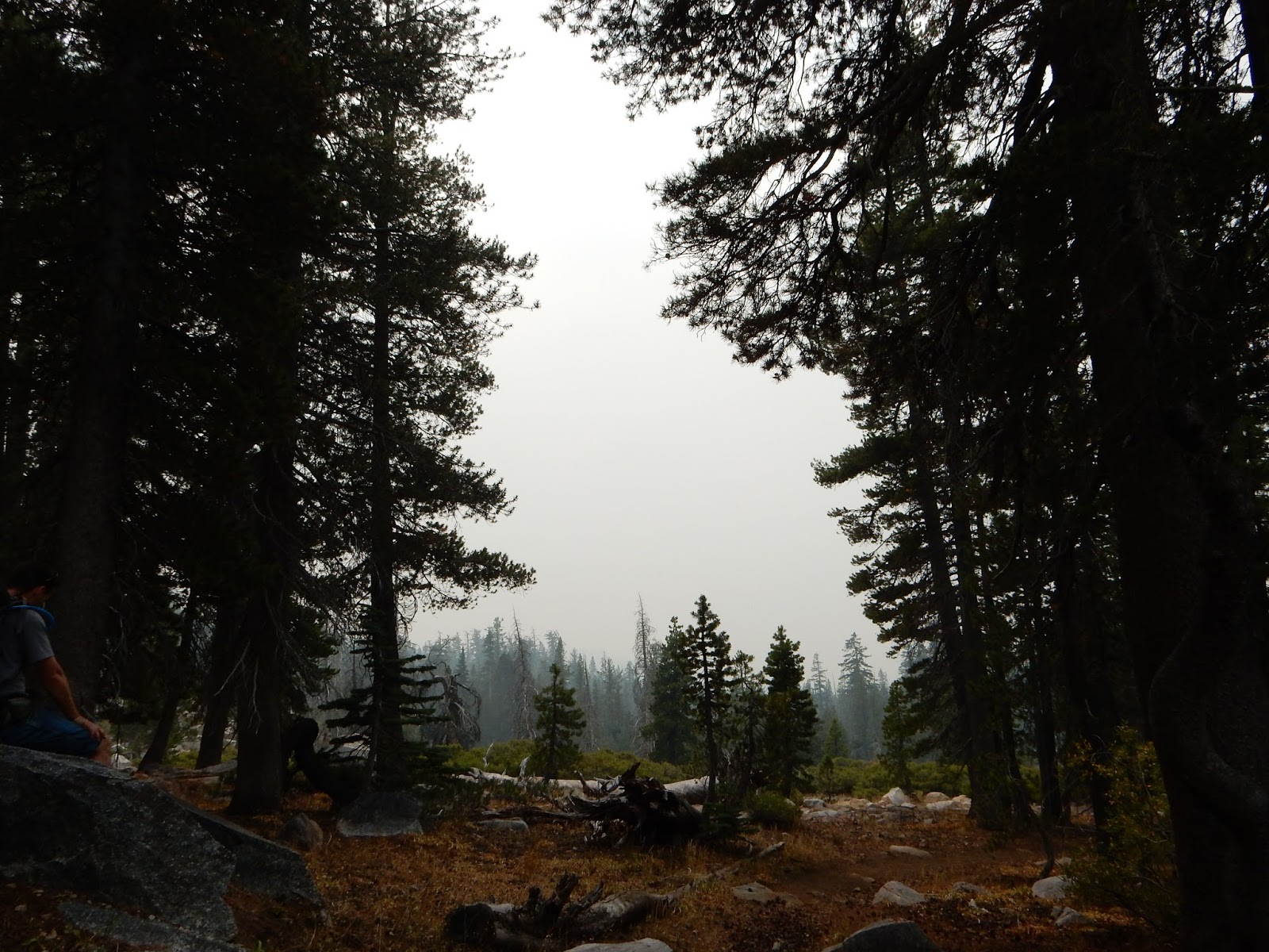
Our drive up was a bit smokey, we wondered if our plans were a good idea.
As we climbed elevation on our way to the trailhead, our view was smokey but we pressed on to check it out.

We reached the trailhead and decided to give our first trip together a go.  Few cars were in the parking area this time which usually is fairly full by this time of day. It could be that school is on and there are just fewer visitors.

The aspens are troubling, dropping many leaves before the annual show of bright yellows.  Instead they are just dropping or turning black as if burned.

We sat to take a rest and a cool refreshing breeze came in, but unfortunately brought with it more smoke from the California fires burning tens of thousands of acres.

We detoured a bit to check out Lyons Creek.  It showed more normal signs of fall colors through the mist of smoke.

No more water is running much below the creek crossing just before the Lyons Lake junction.  The small pools have fish trapped, but surviving.


Our plans were to see Pyramid Peak, Lyons Lake and its surrounding views from the top of its bowl, and Sylvia Lake.  We did a cleanup-people's-trash tour around Sylvia and decided to hang out at our camp that somehow didn't have as much smoke lingering in it and headed back the next day.

Pack enough water to get you to your destination.  At the Lyon's Creek crossing there was a trickle of running water is all. 

The lakes look fine, and Lyons Lake didn't have the heavy smoke but Sylvia did.  
On a normal day you can see mountains ahead from this point!  They were completely obscured by smoke.

Our throats were scratchy.  The views were dim.  The air quality is poor up there, where we thought we might escape the blanket of smoke at home in the valley.  While you may become accustomed to it, as we did, it is really unhealthy.

I suggest contacting the Pacific Ranger Station before going until the air clears up some.  

August 15, 2015

Pillar Point, CA ~ Intertidal Pools of Sea Life

 Pillar Point beach has extensive tide pools where visitors view crabs, sea anemones, sea urchins, star fish, octopus, in their natural environment! 

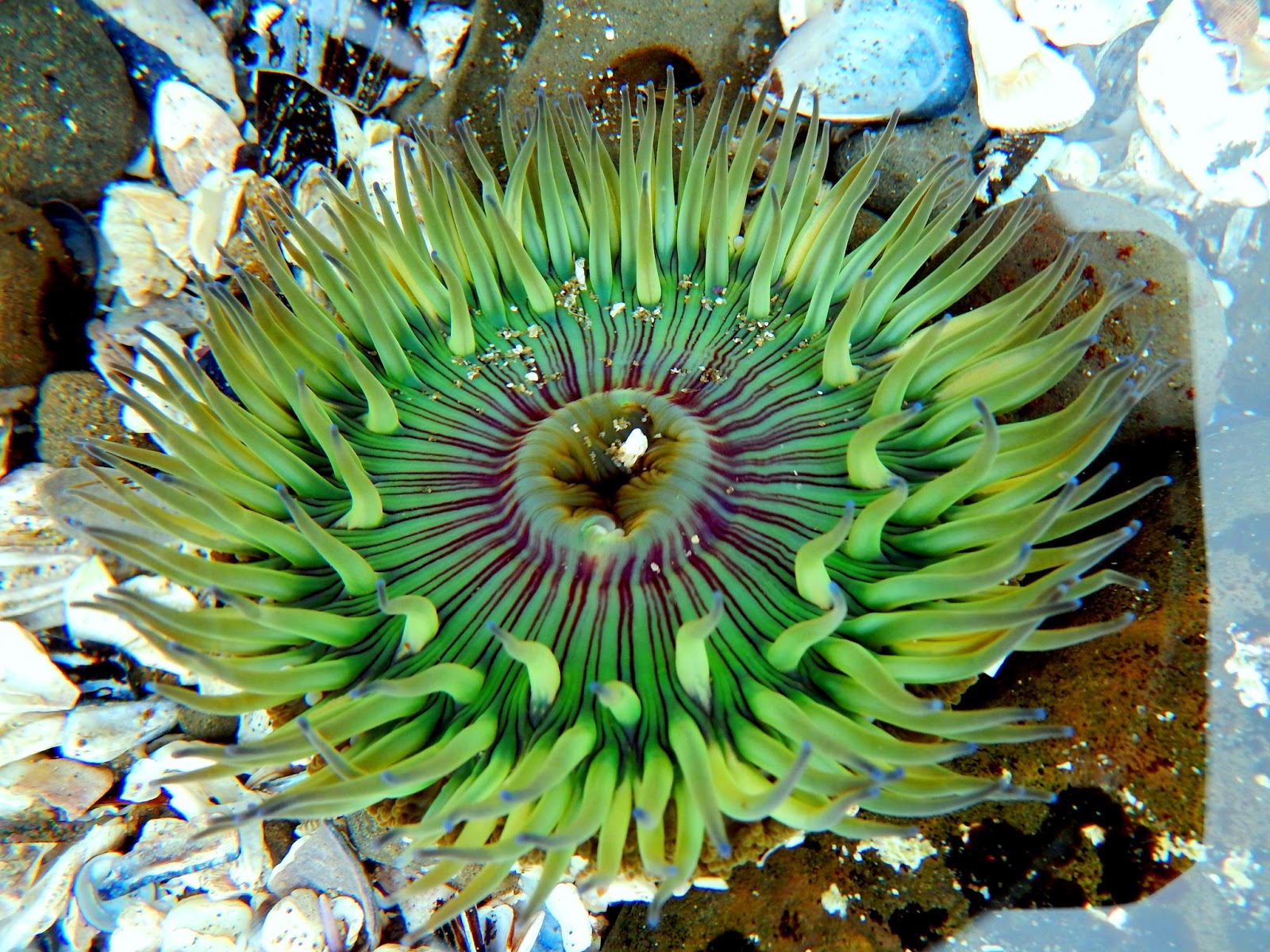
Sea anemone in Pillar Point, CA tide pool.


Pillar Point Leather Sea Star
Help with starfish wasting and recovery research at Pillar Point and other sites. The problem is devastating, destroying the starfish limbs leading to their death along the west coast of North America.  There is concern that it may be crossing into other species as well.  Even if you do not join the research, see the images and learn more starfish wasting through iNaturalist and University of Santa Cruz websites.

Pillar Point Rose, about the size of a half dollar.  Their bright pink color is easily visible as you stroll around the tide pools.
Pillar Point crab hiding in a crevice.
Location:  Pillar Point is northeast of Half Moon Bay, and south of San Fransisco, CA.  Driving directions link.
Advisories: Check tide times here before you go.  Low tide makes the colorful pools accessible to visitors.  (For other locations check here.)
Do not pick up or touch the sea life, just take photos and leave everything where it is.
Shoes with good tread for walking across the jagged rocks are best. Watch out for waves; I know you know, but people have been swept away. You will want a hooded sweatshirt, a camera, snacks, water and plenty of time. It is great to have a change of clothes at the car. There are some porta-potties near the parking area. Many people want sunglasses and a hat or beanie.

More coastal options:
2015-08
Your choice
Stay safe!
2013-07
.5-2 accessible and longer for hikers
Easy
2013-04
Your choice
Easy, great for taking kids!
2012-06
3+ mile loop with options and benches
Easy

Happy Beachcombing!
  Check the entire Table of Contents!
Added links 06-2016