Trails in Northern California

Trails in Northern California

Leave No Trace!

Visit desovw.org for more information about Desolation Wilderness. Visit Recreation.gov or call 1- 877-444-6777 to make park reservations. Visit Campfire Permits to get a permit online. More about Leave No Trace principles.
Showing posts with label Salmon Lake. Show all posts

July 16, 2014

Loch Leven Lakes in Tahoe National Forest


Loch Leven Lakes are popular hiking and backpacking destinations southwest of Donner Lake, 

warm enough to enjoy swimming, and bring your fishing gear!


This map is to give you an idea of what to expect for the drive to the trailhead.  Parking consists of dirt pull outs.  Enlarge it by clicking on it to view details.  (Sorry, ignore the pink which is for another trailhead).

Difficulty:  Moderate.  Distance is flexible but also farther than beginners usually want to tackle for a day hike.  For backpacking though, you do half that distance each day, and 3 miles is an easier distance.  Be prepared for rocks and tree falls though.  This is an excellent beginner's backpacking trip! My 8 year old grandson said "Grammy, you added a whole new meaning to the word 'hiking'!" on this, his first backpacking trip.
Elevation changes:  Round trip, ascent 1218; descent: 1198, no section is too steep or scary.
Driving Directions:

  •      From I-80E take the Yuba Gap Exit.  
  •      In .2 mi. turn right onto Lake Valley Road.  It turns slightly left and becomes Crystal Lake Road. 
  •      In .2 miles make a slight right toward Lake Valley Road.  Continue for 1 mile.  
  •      Make a slight left onto Forest Route 19 and drive for 3 miles. 
  •      Continue onto Power Line for .8 miles.  
  •      Continue onto Forest Route 19 for .2 miles.  
  •      Turn left and drive for 1 mile. 
Note: The TH is after you pass Huysinks, which is visible from the road and looks like a large pond. You will follow the road to the right, going around the lake. 
Much of the drive is on dirt roads.  Conditions are fairly good right now with a few tire ruts, but fully negotiable by car.

This map shows the hiking trail.

The trailhead is on the left side of the road, heads into willows, and is posted with a small wooden sign.  Past the willows, it opens into the large meadow with corn flowers (at about knee-thigh height at this time)  For GPS Tracks check Wikiloc.


The walk through here is easy, on hard packed dirt, without obstacles.  When you pass the meadow, hike into the forest where the trail becomes hilly.  


Nothing too steep.  In the woods the trail leads through a beautiful, lush, cooler patch of ferns.


The trail will open into a rocky area, and you will climb a rocky, boulder section, winding your way upward. It sometimes looks like a creek bed.  Good shoes help grip the rocks and protect your ankles from twists. Kids do a lot better in good shoes as well.  I like using hiking poles for balance while moving from rock to rock.


An unnamed pond will be on your left, where we did encounter enough mosquitoes to spray ourselves with bug spray for relief from the biting pests.

From the trail, you can look down into the Salmon Lake bowl.  Since fewer people 
camp here, it is an excellent choice for a more secluded 
camping experience.  It can also be a resting place for your hiking break.
Keep traveling eastward.  There are cairns, tree blazes, rows of rocks placed by the forestry to line the trail on both sides across open granite areas, and, at "use paths" that might lead hikers astray, there are dead wood branches or rocks placed across them to help you recognize the designated trails.  Do not follow cairns exclusively because they can be placed by anyone to any random destination, although in general, when you think you lost the trail they can alert you to it.  Keep looking for additional markers and clues..  My 8 year old grandson was able to choose the correct route on almost every occasion using markers and signs.


High Loch Leven seems to appear out of nowhere!  My grandson wanted to drop everything and get out the fishing pole.  This first lake is large and has numerous campsites around it.  My preference is to avoid camping right beside a trail, which describes many of the sites available.  We traveled on to the sometimes less busy, Middle Loch Leven Lake.


Although we were able to camp off of the trail in this perfect campsite, there were groups 
of people hiking and swimming around the lake. Everyone was quiet by nightfall.


The next day a LARGE group of backpackers traveled through.  If you are traveling with a group like this, it is a good idea to break up into smaller groups to decrease your noise impact. Large groups are bound to be having fun, talking over one another, and perhaps getting a bit boisterous.  Keep in mind we affect the habitats of the wildlife with our visits too, so take the opportunity to enjoy wildlife in their home.

Once our base camp was set up,


we had time to explore the area. My grandson had time to try out his slingshot, try various fishing holes, explore, play in the water, and relax.


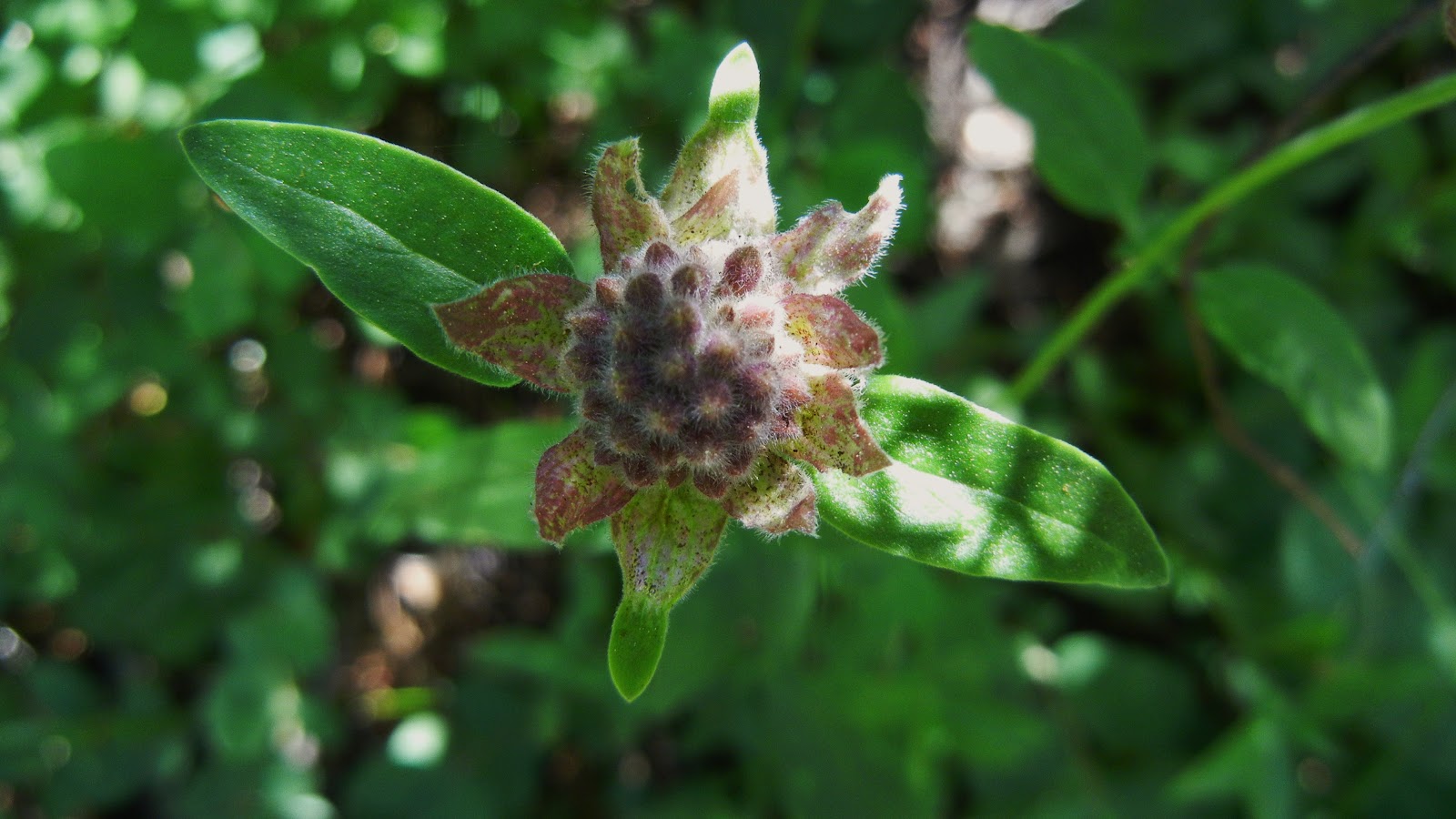
 We found plenty of wildflowers along the way, too.  Brightly colored birds hung around while we fished.  Watch for rattlesnakes, but we didn't see any.


***Use bear bags or canisters for your safety and for securing your food supply.  Also, rodents got into some of our supplies while we were out exploring, so don't leave your camp unsecured.


This is Middle Loch Leven Lake at sunrise.  

which includes directions for another parking and hiking route.
Get your permit here: Fire permits

Links for other hikes in the area:


Up to 7.5
Easy to Strenuous
You choose
Moderate to Strenuous
·         Loch Leven Lakes, Salmon Lake
7.2
Strenuous
6
Moderate


·         Sierra Discovery Trail
.7
Easy
·         Pioneer Trail

Hikes and Articles By Titles
Trails by Locations

Happy Trails!  

July 22, 2012

Loch Leven Lakes- Donner / Tahoe Area, CA


*  If you double click on a photo below you'll be able to view each of the photos enlarged.  At the bottom of the article will be a map, an elevation profile, and a Wikiloc link for GPS tracks.


On this beautiful hike of 7.2 miles, we passed 6 lakes and ponds, each one inviting and remote.  

Difficulty:  Moderate.  Distance is flexible but also farther than beginners usually want to tackle for a day hike.  For backpacking though you do half of that each day, then 3+ miles is an easier distance.  Be prepared for rocks and tree falls though.
Elevation changes:  Ascent 1218; Descent: 1198, no section steep as you will see on the graph below.
Driving Directions:
  • Take 160 toward Yuba Gap.  
  • In .2 mi. turn right onto Lake Valley Road.  It turns slightly left and becomes Crystal Lake Road. 
  • In .2 miles make a slight right toward Lake Valley Road.  Continue for 1 mile.  
  • Make a slight left onto Forest Route 19 and drive for 3 miles. 
  • Continue onto Power Line for .8 miles.  
  • Continue onto Forest Route 19 for .2 miles.  
  • Turn left and drive for 1 mile. 
The TH is after Huysinks.  The last 4 miles are dirt and the road conditions change, but on this trip in July 2012 I could have gotten my car there but there are some deep tire ruts and a lot of washboard or potholes. 

Notes:  If you are a backpacker, I highly recommend this popular trail and the lakes.  There is plenty of room and many campsites along the way.  Sure, there are people at the first lake but the further you go, the fewer you'll be likely to see.  For me the last lake was most beautiful and enjoyable.  The first Loch Leven Lake is large and groups were there of young people swimming.  Various backpackers were solo and had separate camps with privacy enough. 

WILDFLOWERS, for those who stop by to see what's blooming in the wilds:

This time of year is full of color and variety.  I love the macro shots like this first one.  Enlarged, you'll see the little residents and scavengers that may appear to be dirt or debris in the field!


We were also treated to a section of trail covered with these beauties.

Our hike started in the shade of brush and willows, when we suddenly stepped out into this sublime meadow.  I'm happy to report we didn't have to break out bug spray to fight off the biters that commonly stalk hikers along moist areas.

Quickly the trail reentered the woods and there were several larger fallen trees to climb over, or in the case above, through.

For the most part the trail is in good condition and easy to follow. but of course, GPS helped us along the Salmon Lake area.  We did some granite crossing and boulder scrambling in that area, all fun and nothing treacherous!

This unnamed grassy lake hid a treasure for me:  my first chance to photograph what I believe was a great blue heron.  You'll have to enlarge this to find it because I zoomed my lens as far as possible taking the photo, and still can barely see the giant bird in the tree (below).

It caught me off guard and flew down into the grasses where I thought I had missed my opportunity but at home on the laptop, there it is hiding.  Another one to enlarge or zoom in on.

So play a little "Where's Waldo?" and find the bird in the above photos.  Help me if you know for sure what type it is.  Good luck.

A bit of adventure struck us here because somehow, talking too much I guess, we lost the trail but took our time on the granite resting and snacking, taking pictures of Salmon Lake and wondering if we needed to go all the way down to the lake or not.  We opted for a bit of cross country in the compass direction of Loch Leven and with a little bushwhacking we were able to reconnect with the official trail. 


As we srolled along and greeted hikers and dogs, Loch Levens first lake presented herself in full color and beauty.  As you can see, a breeze was steady but it sure didn't slow down all the young people swimming!  They were across the lake between islands squealing, laughing, and splashing.  It did nothing to dampen my enjoyment.

 Neither did the various camps set up along the trail.  Our ambition was to get to Upper Loch Leven though so our stay was shorter here at the largest of the lakes.


My vision of what it might be like was good as gold.  No one was there but us, no splashing or tents.  We picnicked and took off our boots for a wade in the pleasantly warm shallow water.  This was a fantastic destination!

Our chosen spot was here at the southwest side of the lake where we found some boulders and a long shallow area perfect for soaking our tired dogs.  Lily had a blast splashing and digging up mud between snacking and finding sticks to be thrown.

Sunset was on our way out, but worth stopping for this shot. This was a fun moderate hike and might be a good start for a new backpacker.  Our 7.2 miles could be shortened and was a round trip total.  No bathrooms. For the day, take a water purifying means, food, sunscreen and bug spray (and your swim trunks)!


Wikiloc  for GPS.  Other tracks are available.

Related Articles:
Grouse Ridge Trails
Survivor Night on Crooked Lakes Trail
Carr Lake Under Snow

Peachy Hiker's Table of Contents
Happy Trails!