Trails in Northern California

Trails in Northern California

Leave No Trace!

Visit desovw.org for more information about Desolation Wilderness. Visit Recreation.gov or call 1- 877-444-6777 to make park reservations. Visit Campfire Permits to get a permit online. More about Leave No Trace principles.
Showing posts with label Middle Fork American River. Show all posts

September 02, 2012

Bring the Kids: Find a Historic Mining Bridge!

Middle Fork American River in Tahoe National Forest

Fishing, Hiking, Camping

Mosquito Ridge River Access Trail  

 Find a rare gem, a miners' suspension bridge flooded out

and hidden across the river!

 
Mosquito Ridge River Access is a 3 mile round trip hike on a recently maintained trail climbing over the ridge and traversing down into the canyon to the Middle Fork American River. An old mining suspension bridge is downriver hanging in the trees! Several fishing campsites line the river.
 
The campsites are scattered along the river bank, each with a fire ring and flat space for tents.  Another treat is a short distance upriver there is a very tall waterfall across the canyon.  I bushwhacked uphill beyond the campsites to get a better view of it. 


The river is low this year (2012) and its difficult to get to water through tangles
of blackberry vines. 
Without heavy traffic, user paths have grown over.  Bit of a machete hike there!

Along the recognized trail to the campsites there is a fork to your right
heading down into the canyon 
that also leads down to the river. 


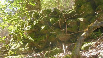
A classically built rock wall that supported the old bridge abutments that no longer have a bridge to support!

To see the bridge remains, walk downriver along the rocks from the abutment 
to this area where the river narrows.  It's also a nice place to catch some sun and picnic.

Where is the old metal bridge then?  Look across the river into the vegetation!


Watch your step when you get to the river because there are still cables like this one anchored into the rocks that can most inconveniently trip you!


Upriver view from below the bridge abutment.


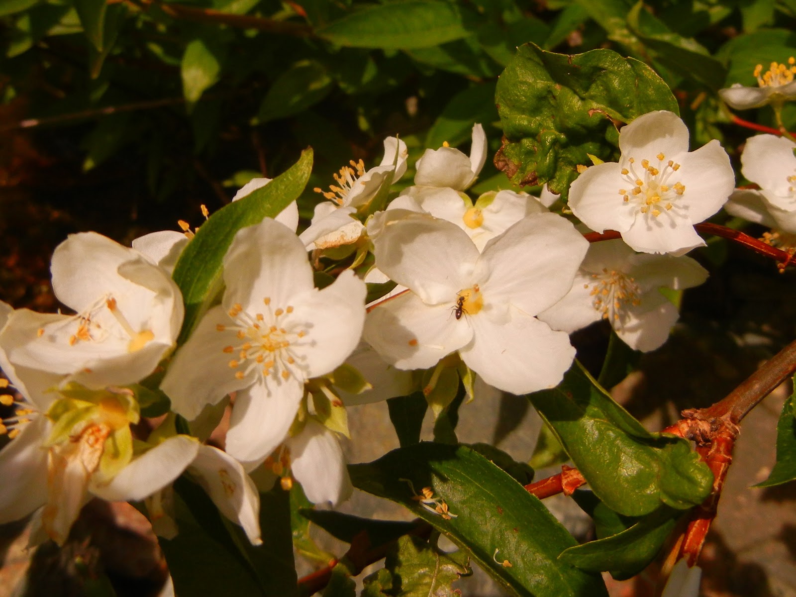
The kids can have fun looking for lizards and salamanders!


Or other wild things!  These prints were near our tents in the morning, but nothing was disturbed.  Good advice to bear canister your foods though.


Below is a topo map of the trail you can enlarge by clicking on it.  Another fine place to camp, especially in colder weather, is on the ridge.


 In winter or spring the ice remains on vegetation down in the canyon. It is a thick frost that looks more like snow at a distance! You may sleep warmer at the top, and your short hike to the river might be more enjoyable.

Driving Directions:
  • Take Foresthill Road at Highway 80 onto
  • Auburn Ravine Road.
  • Turn right onto Mosquito Ridge Road.
  • Follow it into Tahoe National Forest, continuing until you see the sign on the right for Mosquito Ridge Access Trail.  There is a large dirt turn out for parking on the left and the trail heads uphill on the right.

For more possible hikes for you:

Trails by Areas:

Happy Trails!  Thank you for coming by!


June 12, 2011

Ruck-A-Chucky Towards Ford's Bar


I took Foresthill Road to Drivers Flat Road and followed it down to Ruck-A-Chucky where there is a campground and a day use parking area.  There is a whopping $10 fee!  I paid it this once.  My starting point was 38.58.013N  and 120.57.113W  The hike is about 4.5 miles, moderate to difficult.

One of the remnants you'll see along the way.
"It's not in bloom yet--it's in bud. It's Gum plant, Grindelia camporum, a native wildflower
. When it opens, it will reveal a yellow flower reminiscen
t of dandelion. The gum is thought to deter ants from damaging the flower or stealing nectar (without pollinating)."  Tato


Paradise Falls start 100 feet above the bottom of the creek.  Hard to see in the photo, and not completely visible from top to bottom either.  I hiked upward and saw less; there is no trail and its rocky, steep, wet, and another "machete" sort of hike if you climb the hillside.


"Party animals"

Sunbathing butterfly.  Groups of several varieties floated playfully around, while others competed for shade and water.


I climbed this "path/deer trail" to go back up to the road.  It was dicey!  Steep, very few rocks or roots to grip, dirt that would crumble in some places, and stickers for free!

I could hear these rapids for quite a distance before the trees gave way for a full and wide open view!
Not only were they thunderous, but ran for a long stretch!
Zoom lenses were made for moments like these!

I loved whitewater rafting with a guide, but never saw a view like this!  It could give me the jitters to think of riding through them!
Upriver not only calmed down, but became placid and still looking, and the thunder faded.
There are a few picnic tables in shade available to rest in.  Beautiful settings and near enough to the water to still be cooler than the sunny stretches of road and trail.
This is the road described as best suited for high centered vehicles.  In all but one area, my little car could negotiate it, but all it takes is one area to stop you.  I parked near the Ruck-A-Chucky raft pull out area.  There are port a potties there, too.

Behind the tree, you can see remnants of an old rock wall.
This was my parting view of the canyon for the day and with the setting sun, it was magnificent!