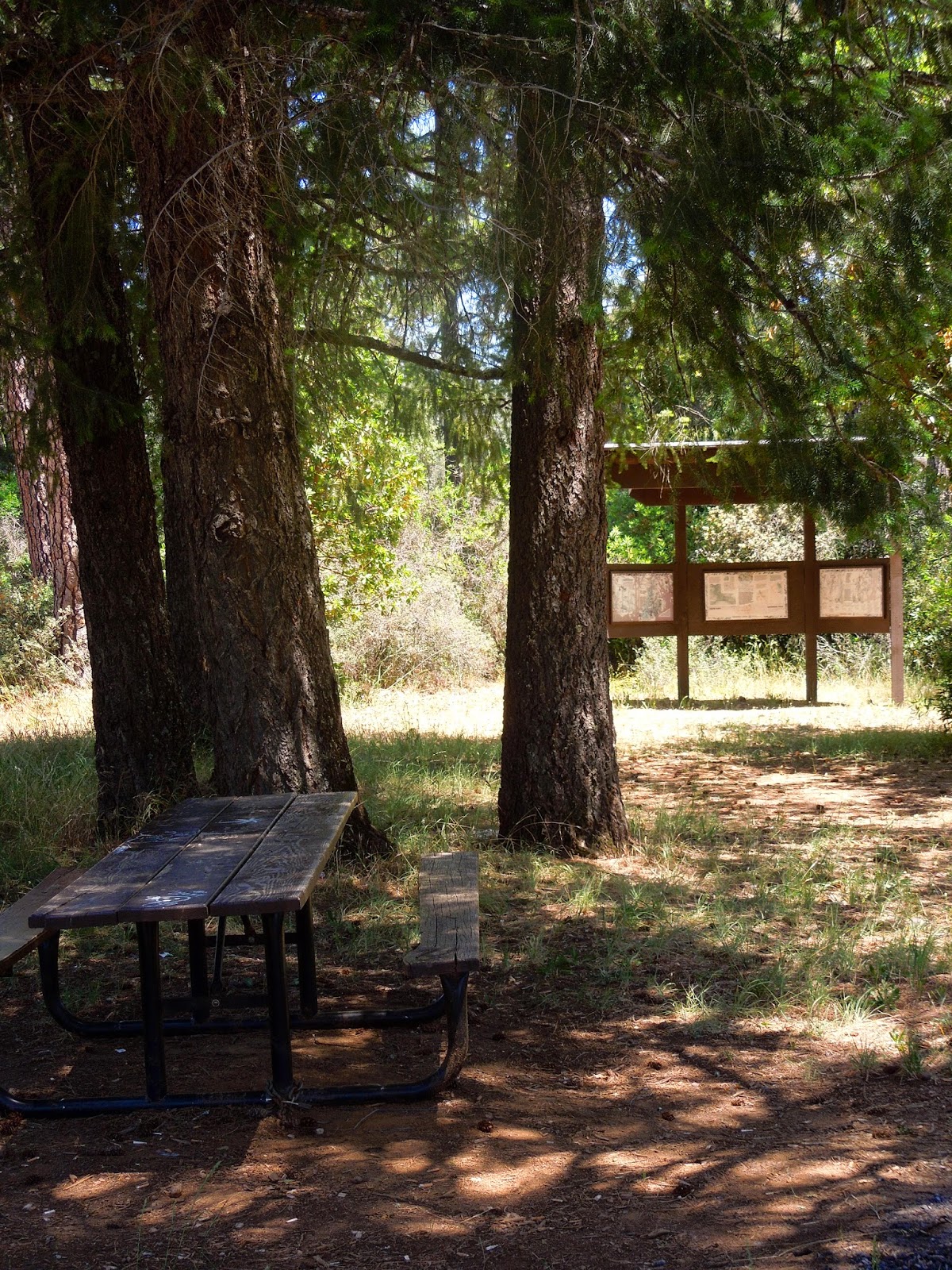
Stifle Claim Trail
For a picnic, a hike along a creek, and a display of numerous wildflowers, this is the spot for you!
Distance: You can just go a few feet from the trailhead if you prefer. I hiked about 2 1/2 miles RT.
Difficulty: Pretty easy. There are no steep hills or creek crossings other than by bridges.
Cautions: Always watch your steps here. Due to old mining, there may be holes and depressions. Another caution is to watch out for rattlesnakes. Make a little noise as you hike so they have a chance to get away. The surface may have some loose rock. Wear good shoes, preferably providing ankle support. Hikers may step over or around larger rocks, mossy roots, and mounds of vegetation. Another note is that I got too hot (93 in the shade) and my water got hot. I used my little purifier and drank the creek water....also warm. Bring an iced drink in an insulated container on a warm day. (Snacks are a must, too!)
Driving Directions:
From Georgetown, CA, drive 4.3 miles south on Highway 193. Turn left onto Meadowbrook Road. In 1.3 miles, Meadowbrook Road ends at Bear Creek Road. Reach the parking lot by doing a short zigzag left, then right, over the small bridge, as you cross Bear Creek Road. It is posted "Day Use Only" but you won't see the name of the area. Horse trailers can park there too, and equestrians use it to access a trail heading to the south (Det Mar).
OR
From US-50 in Placerville, turn left onto Spring St. Turn left onto CA-49 N/Coloma Rd. In 7.7 miles, turn right on Marshall Road. In 5.6 miles turn right onto Black Oak Mine Road. At the end of the road in .5 miles, turn left to stay on Black Oak Mine Road. In .7 miles, at the end of the road, turn left onto CA 193 W. In about 300 feet turn right onto Meadowbrook Road. As above, in 1.3 miles it will meet Bear Creek Road. Head to your left then quickly look to your right and enter the parking signed "Day Use Only".
In around a total of 2 miles, I found many wildflowers; here are some for you to preview:
To view wildflowers, please try not to crush other plants. You never know if something beneath your feet is endangered.
 |
| The creek offers shady rests and a splash. |
The valley is 220 acres with hills surrounding it. The plants growing here have to be tolerant of the serpentine conditions in which many plants cannot survive.
These plants are endemic or have adapted to the high magnesium, nickle, and chromium levels that would kill most nursery plants. The soils also tend to be low in other nutrients most plants need, and conversely, these specialized plants cannot grow in soil with high nutrients. (No use in taking them home!)
Another feature of these plants is that many have little leafy foliage, and short blooming seasons. Some plants have adapted by becoming smaller versions of their species with smaller blooms.
The popcorn flowers are an example of adaptation in size. The ones in my area are taller with larger blooms.
Look closely at this paintbrush (enlarged) and check out the hairs all over it. That is another adaptation to this environment some plants have developed to help retain moisture.
Established in 1988, the Traverse Creek area has the designation of being a Special Interest Area in an effort to preserve the unique plant communities that grow in the serpentine soil. The historical values are related to the mining that took place here for the emerald-like gemstones known as vesuvenite, and chromite.
For more technical information, check out El Dorado National Forest.
Happy Trails!
For more hikes in this area:
Trails by Locations
Edited 6/17/14, spelling correction


I wonder what they are!
ReplyDelete