


Experience miles of Grouse Ridge trails for backpacking, hiking, fishing, wildlife viewing, and swimming in many of the lakes.
And take in the views!
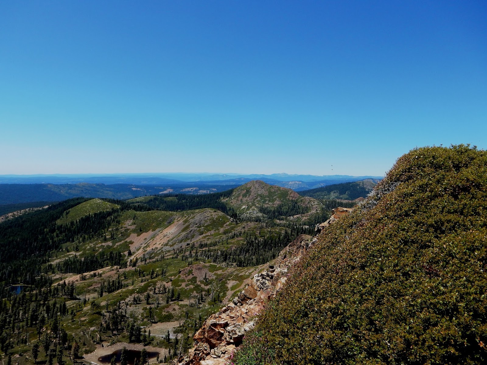
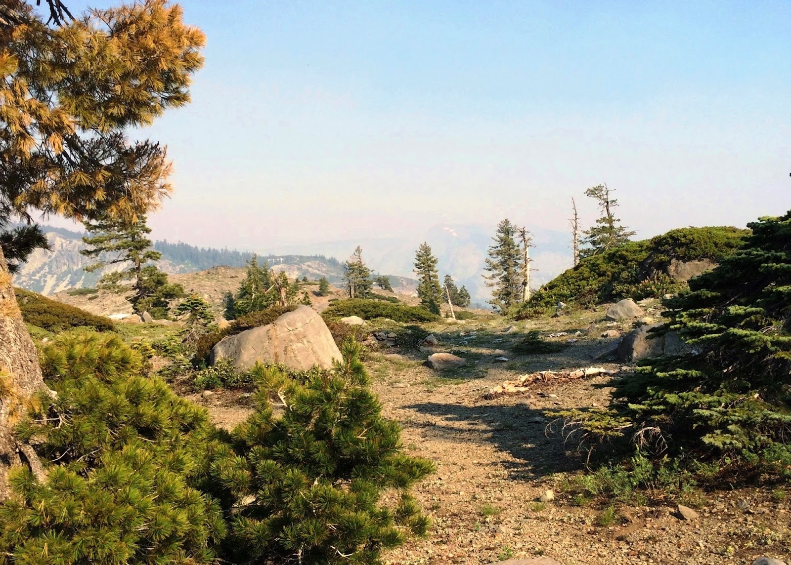
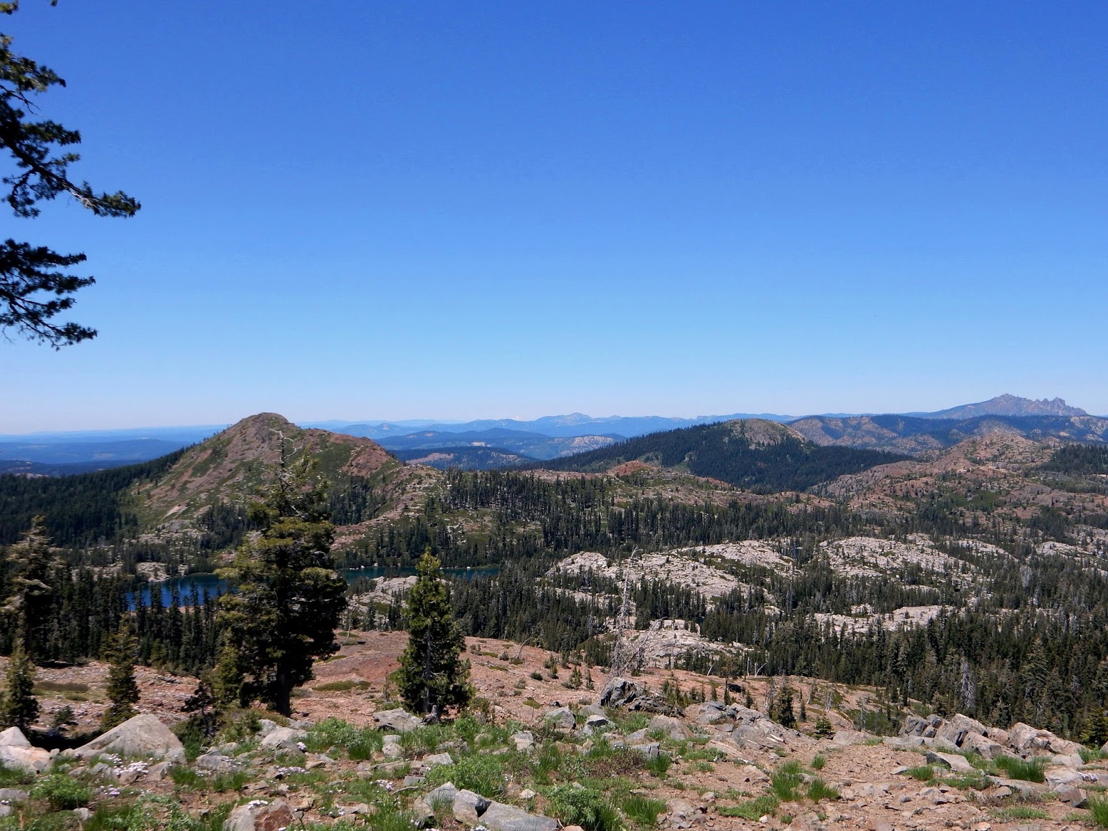 |
| One view from the ridge. I bet if you zoom you could see Mt Shasta too. |
Distance: 2 mi round trip or many more.
Difficulty: Easy to moderate, according to your choice. I have been comfortable taking an outdoorsy child who can hike at least 1 mile in downhill and then 1 mile out uphill. They would enjoy the lakes. There may be some tree falls to climb over or go around, and strollers are out of the question. It is an excellent place for backpacking with youngsters.
Driving Directions: Get onto Highway 20 West from Highway 80 west of Donner. Turn right onto Bowman Lake Road, cross the South Fork Yuba River and turn right on Grouse Ridge Road (Forest Road 14). It is 6 miles.
Advisories:
- The road is dirt and we were happy to note that with a large lumber operation going on, the road is much improved most of the way. There are wider spots to let lumber trucks get by.
- Camping and hiking are free, no permit required. In the fall be sure to check hunting season dates.
- July 2018 cell service: Just before you enter the campground area, the dirt road turns to the left. There is a large opening with a small u-shaped drive that some use for overflow camping. We found that if we pull over there we get 1 bar on AT&T, enough to text and make a call!
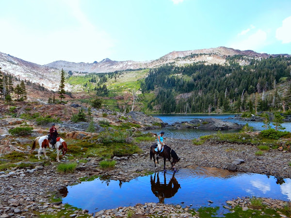
- Much of the year, cows live in the lake s basin. We woke up to gently mooing and cow bells in July. In August we didn't see any of the cows. The ones who visited were friendly anyway!
 |
| One campsite guest at Milk Lake in Grouse Ridge, California, July 2018 |
Weather: Get a forecast here
This is the link to the forestry website.

July 2018 There were wildflowers in full bloom and large meadows of color to enjoy. We encountered that rain that wasn't forecast. Always go prepared for any weather.
Aug 2018 Our three day trip was excellent, as was our trip last month. We hiked to Carr, Feeley, Island, Round, Long and Penner Lakes. The weather was in the 70's and the skies were clear! It was a red flag warning for smoke so we were prepared for less pleasant conditions, but the views were just as far and gorgeous as I have seen!
Round Lake in Grouse Ridge, California, August 2018
For my son's first backpacking trip, we toured
the Grouse Ridge area. We started out with a warm up hike
to the old lookout, built in 1923. Surprise!
It is being refurbished to offer as a rental. In Aug 2018 we saw lights and I would use it. I came home and looked for links to rent it but was not successful. Here is the link to the forestry website that would have information when it becomes available. Lookout rentals
In good weather, visitors might see all the way to Mt Shasta.
We did!
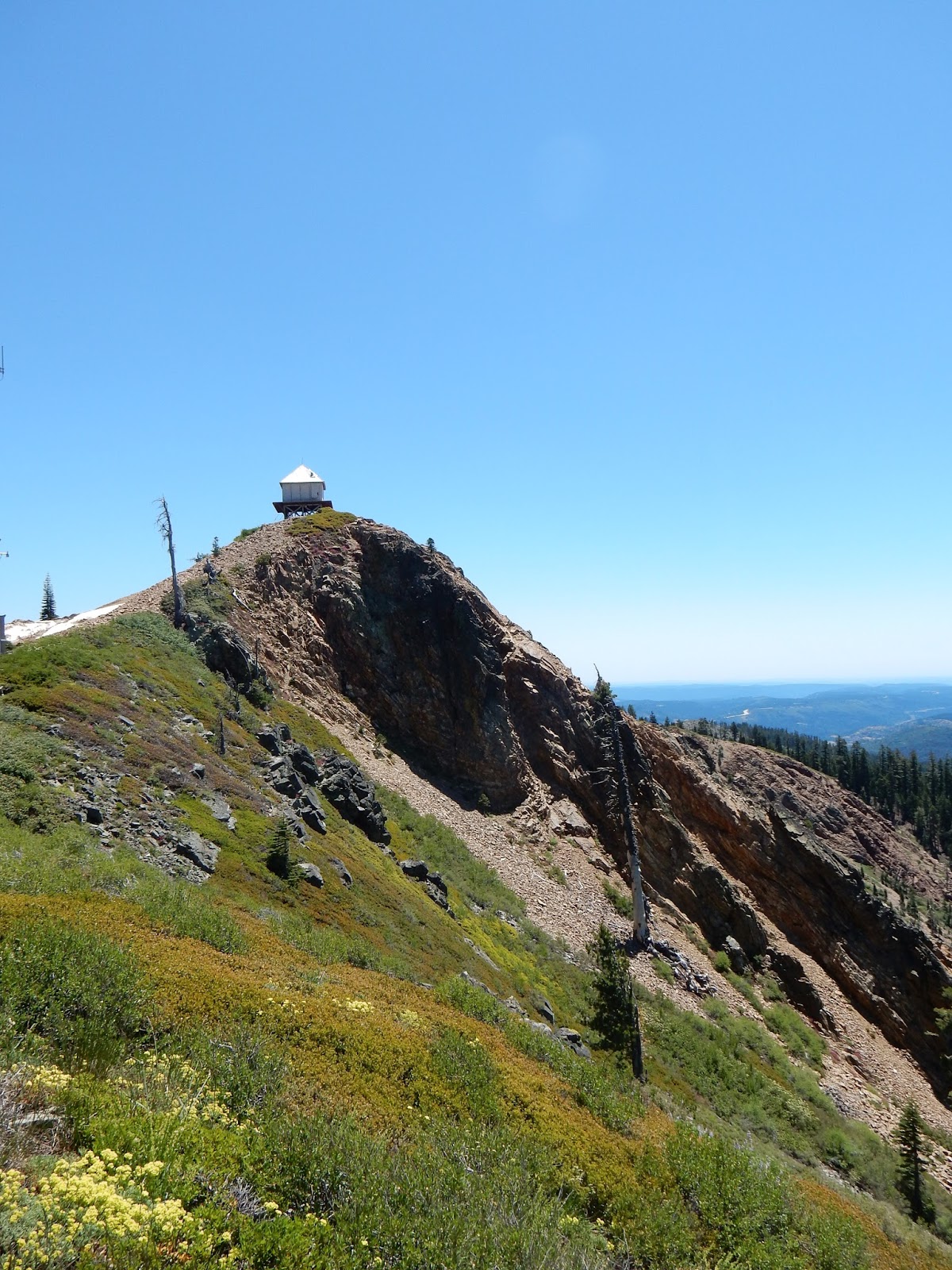 |
| Grouse Ridge Lookout |
To hike to the lookout, walk south up the dirt road that forks
uphill off of the dirt road to the trailhead parking.
There is a closed gate without parking,
so plan snacks and water for a mile or so
uphill along the road, and the return hike down.
Trust me ~ it is worth the extra time and effort!
uphill off of the dirt road to the trailhead parking.
There is a closed gate without parking,
so plan snacks and water for a mile or so
uphill along the road, and the return hike down.
Trust me ~ it is worth the extra time and effort!
 |
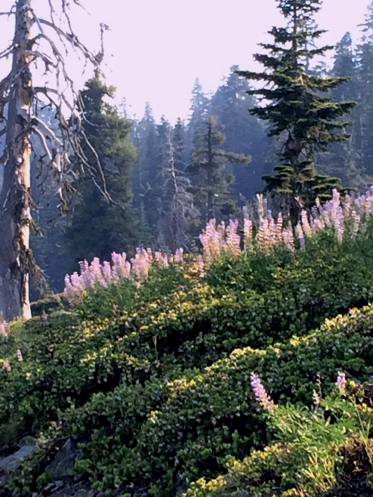
| Wildflowers are blooming in profusion, so get up there soon if you enjoy these seasonal shows! |
 |
| We had the pleasure of some snow blankets to play on, although who knows how long they will last. |
 |
| Mt Shasta is back there if you can zoom, though it is just a blur, you can tell it is the snowy peak. |
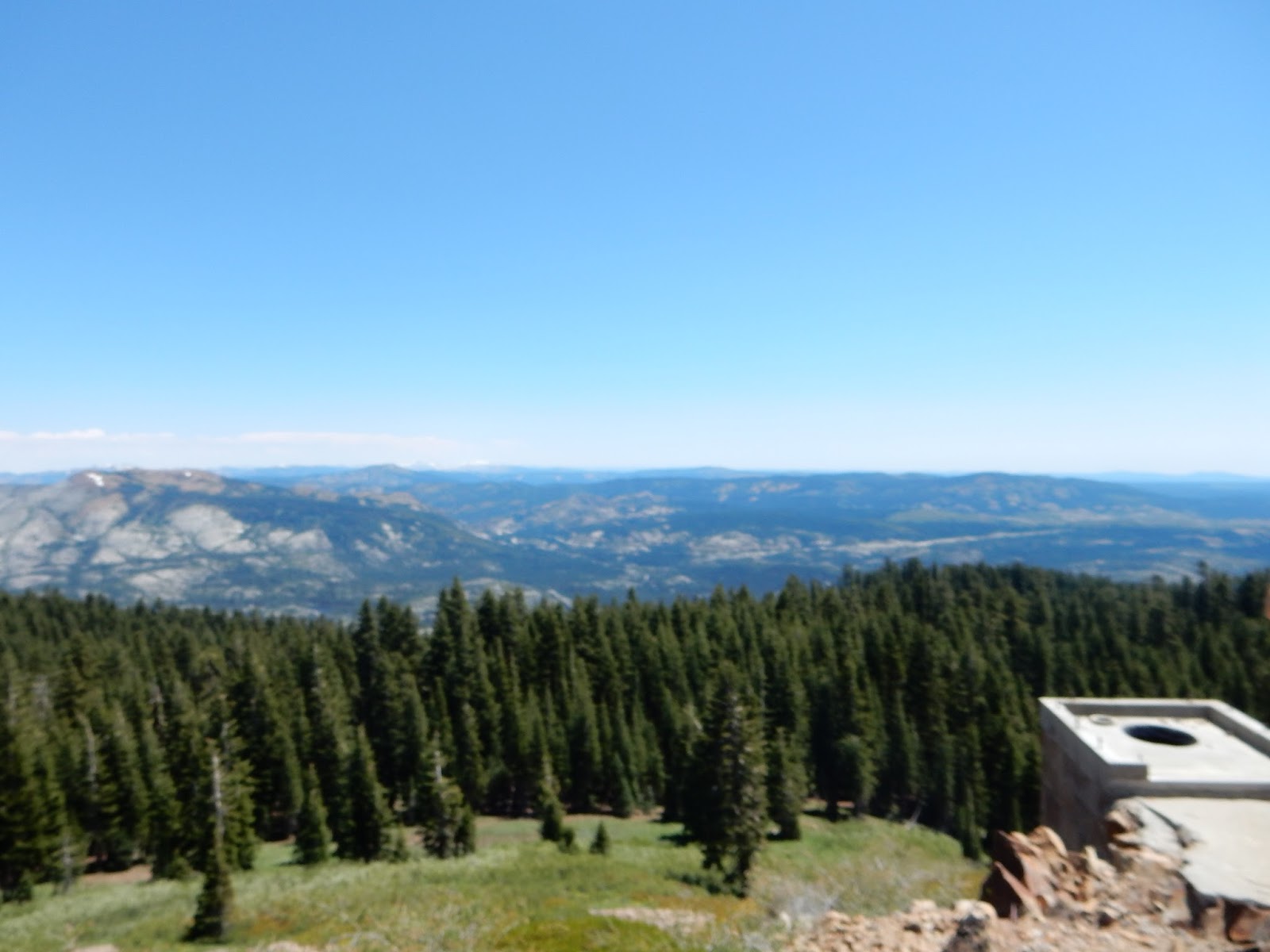 |
| Views from Grouse Ridge Lookout. |
After exploring and taking photos, we headed down
to start our backpacking trip. Near the trailhead,
there are car camping spots that have been greatly improved, and
are well marked with tables, campfire rings, and level tent spots.
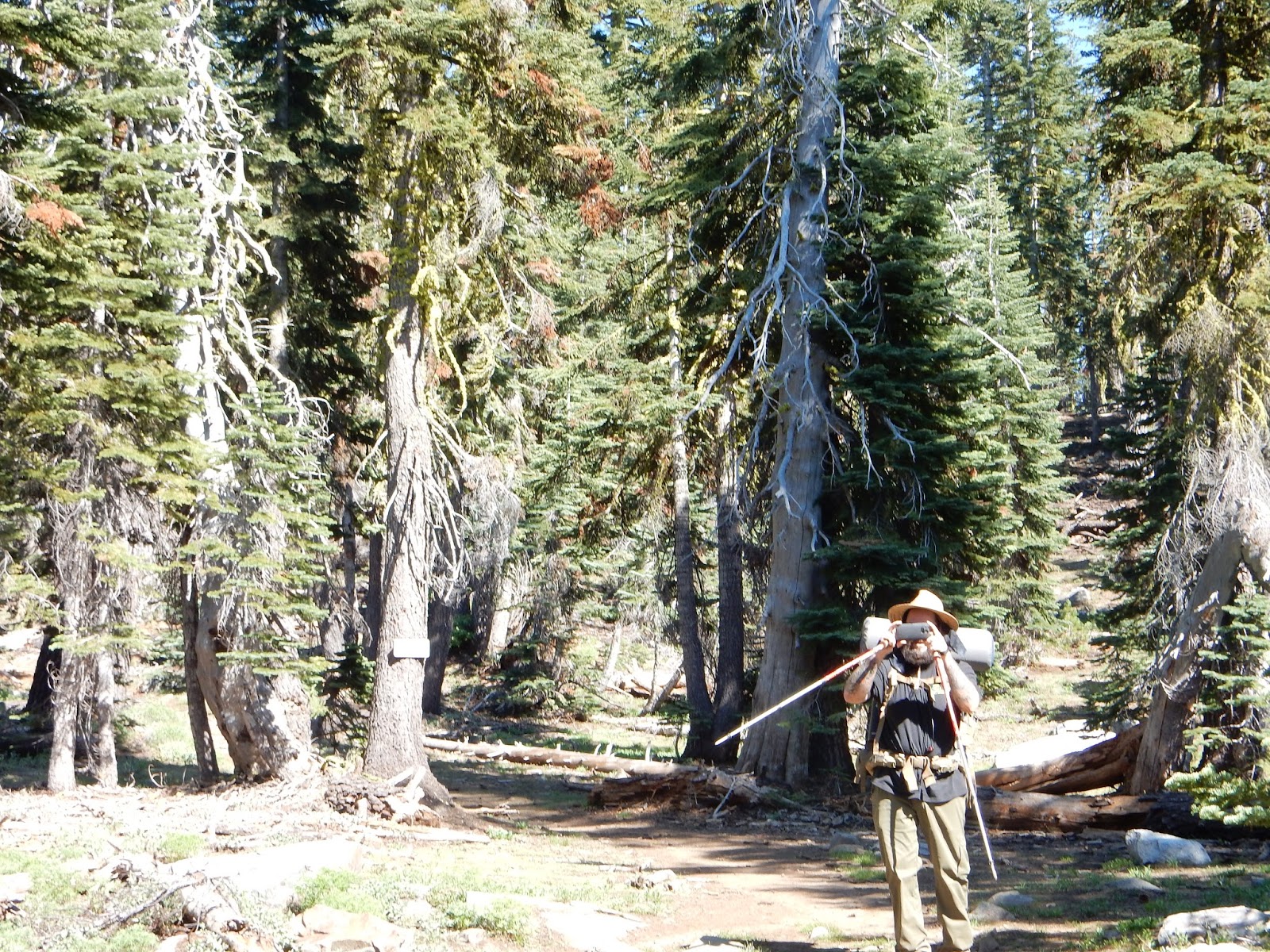
Since my son was out for a first backpacking trip,
and most likely over-packed,
we needed a shorter hike. Just hiking to Milk Lake
to set camp seemed great, then we could hike
to many other lakes without all the gear.
to start our backpacking trip. Near the trailhead,
there are car camping spots that have been greatly improved, and
are well marked with tables, campfire rings, and level tent spots.
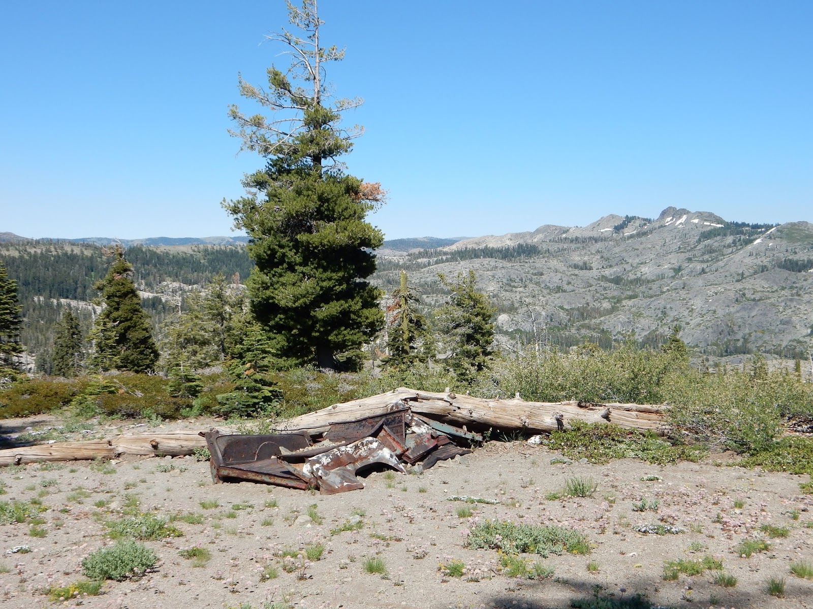 |
| Widow maker's truck hikers pass near the start of the trail. Each trip, I photograph the truck, which used to be red! Moral of the story: Do not park under a dead tree! The truck was still there this week, August 2018. |
and most likely over-packed,
we needed a shorter hike. Just hiking to Milk Lake
to set camp seemed great, then we could hike
to many other lakes without all the gear.
 |
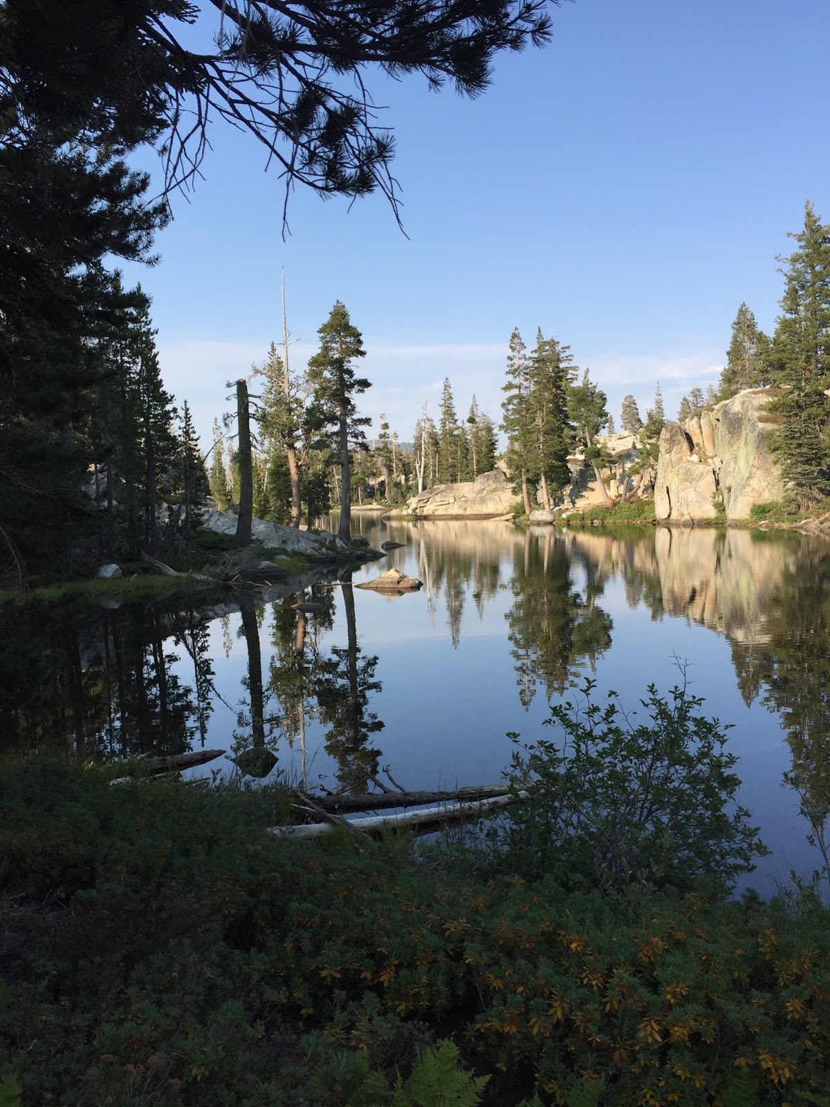
| A view of Milk Lake from the use trail, breaking off from the main trail at the tree fall. |
 |
| We missed this sign. A tree has fallen that blocks the old trail to Milk Lake. July 2018: the trail to the lake is easier to see. It is apparently well used and heads next to the sign posted in this photo. |
 |
| Milk Lake from the north hillside. That little patch of snow is under the trailhead. |
 |
| Grouse Ridge Trails are well marked as a rule. We weren't thrilled to keep going not having seen Milk Lake, but we bravely marched onward. |
 |
| The trails are mostly shady, and there are enough tree falls to rest here and there. |
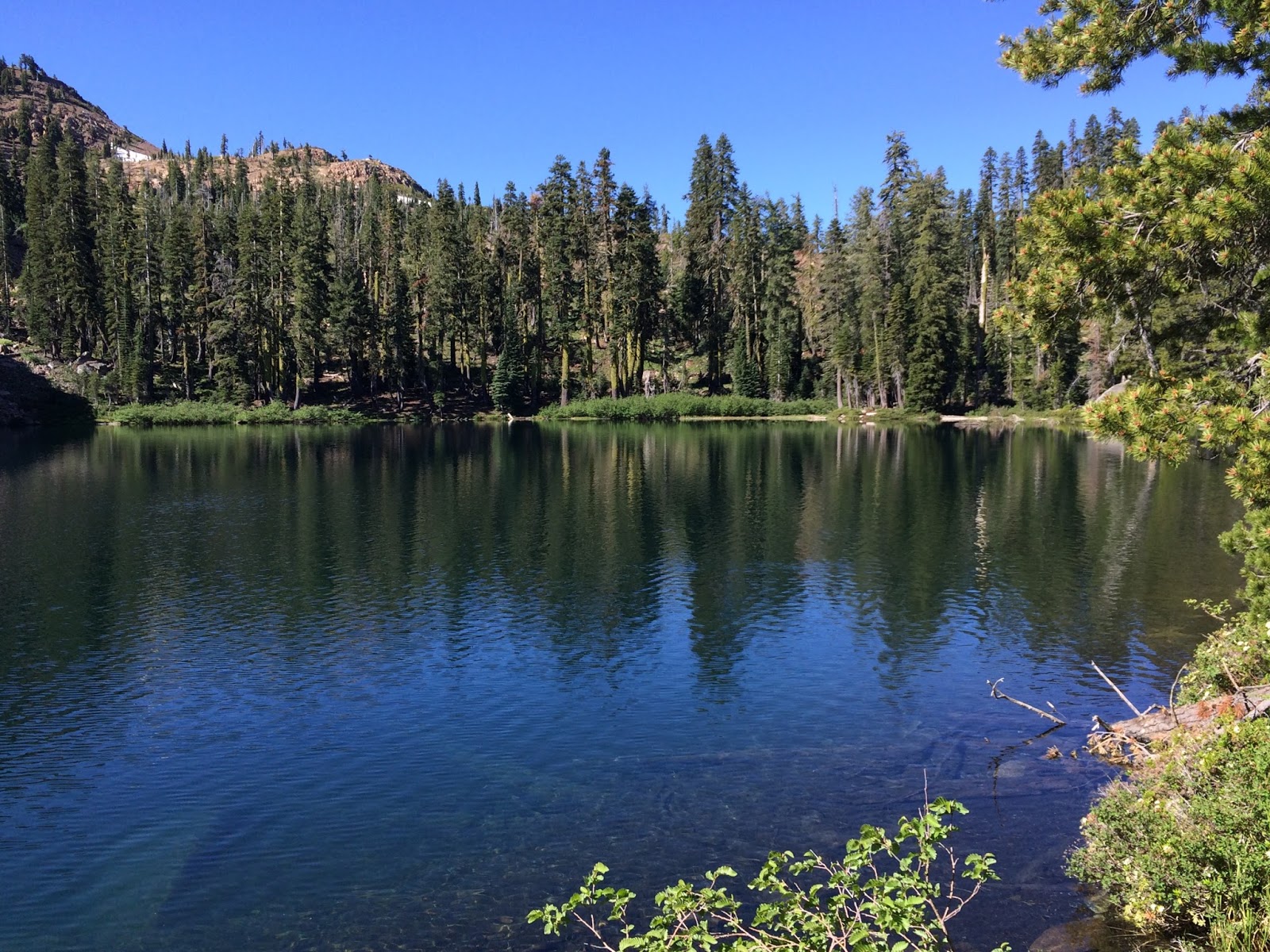 |
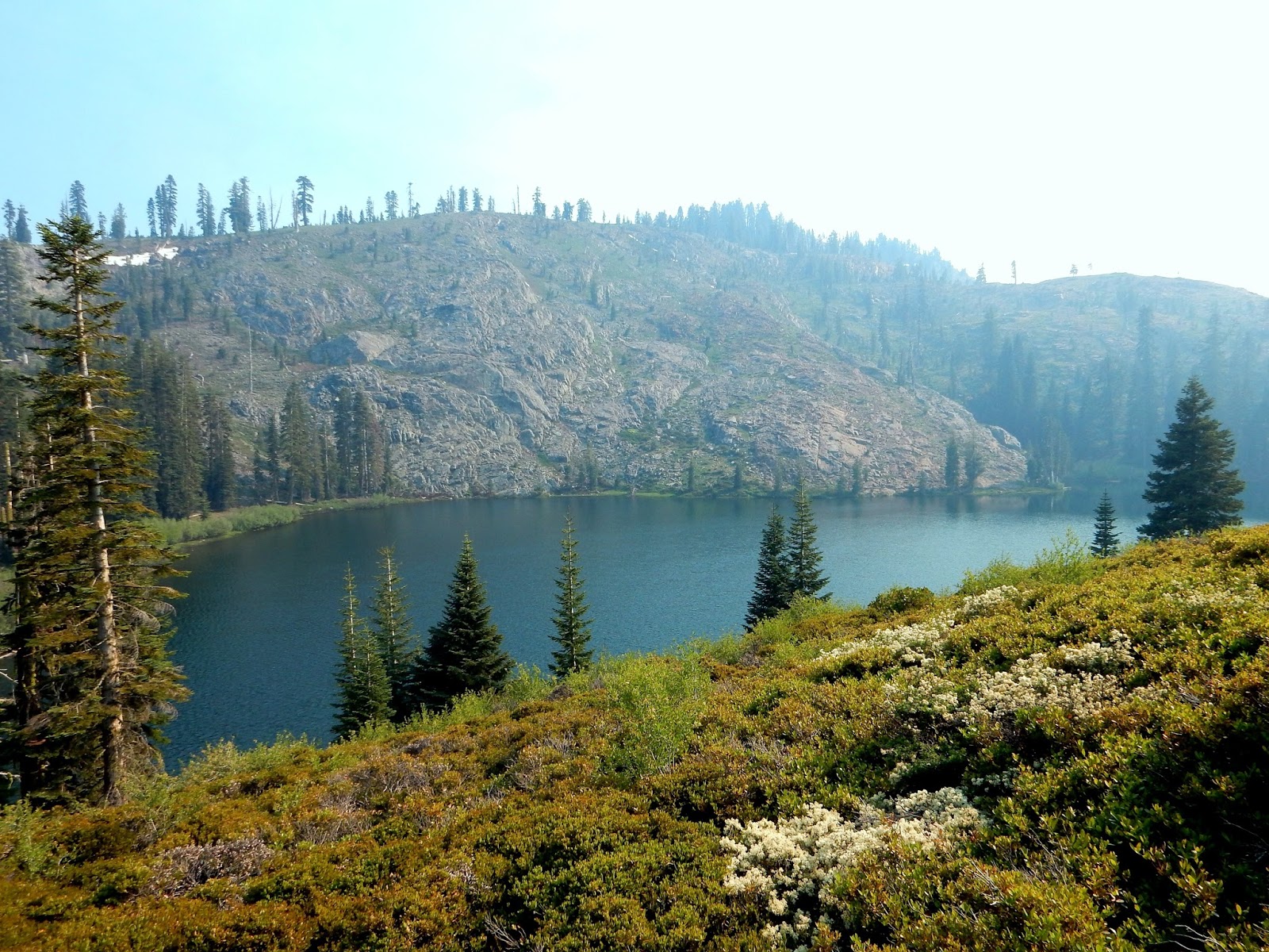
| Round Lake, Grouse Ridge Lakes Basin, California |
would be fantastic. We spent time there swimming
wishing for our fishing poles.
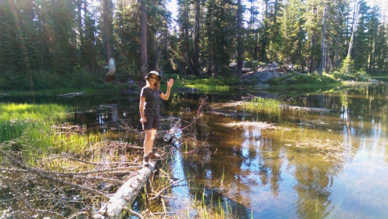
The south side of Long Lake is pretty shallow and marshy,
but the up side is it is warmer water for swimming and we enjoyed it.
We packed up to hike out, but the smoke
we had noticed while swimming seemed thicker.
The wildflowers were still a treat, but you can see the grey
skies moving in. My throat was scratchy.
 |
| On our way in we could see Mt Shasta, and on our way out, we could hardly see the close mountain ranges. |
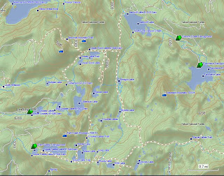
Print it and take an 8.5" x 11" pocket map to keep with you.
Here are some other trails in Tahoe National Forest:
Tahoe National Forest
| |||
2014-07
|
6+ miles
|
Moderate (kids do it though)
| |
2012-12
|
Snowshoeing PCT at Donner’s Castle Pass
|
9.3 mile loop
|
Strenuous
|
2012-12
|
3.5 miles
|
Easy
| |
2014-07
|
1+ miles with many lakes and options
|
Easy to Moderate
| |
2011-06
|
5+ miles this trip
|
Variable
| |
2013-07
|
Whatever you choose
|
Easy
| |
2012-11
|
1 mile each location
|
Easy
| |
2012-09
|
Pioneer Trail near Spaulding Lake
|
Up to 25 miles; I did 5.7
|
Easy to Moderate
|
2012-10
|
Sierra Discovery Trail with Bear Creek Falls
|
½ mile est. interpretive loop & picnic area
|
Easy
|
2012-09
|
.7 mile
|
Stroller and WC friendly
| |
2012-09
|
3+ miles
|
Easy - Moderate
| |
2012-08
|
6 miles
|
Easy
| |
2012-08
|
4 miles
|
Easy - Moderate
| |
2014-05
|
Grouse Ridge Glacier Lake Trail Milk and Downey Lakes are closest.
|
.5+ many optional miles to many lakes, all pretty close to each other!
|
Easy to Moderate Car camping available near the trailhead.
|
Here is the Table of Contents.
Thank you for stopping by! Happy Trails.
update July 16, 2016
Updated July 2018: notes about wildflowers, moving the template to the top, added a weather forecast link, note on Milk Lake trail improvement, cell reception and removed old truck notes.
Updated July 2018: notes about wildflowers, moving the template to the top, added a weather forecast link, note on Milk Lake trail improvement, cell reception and removed old truck notes.